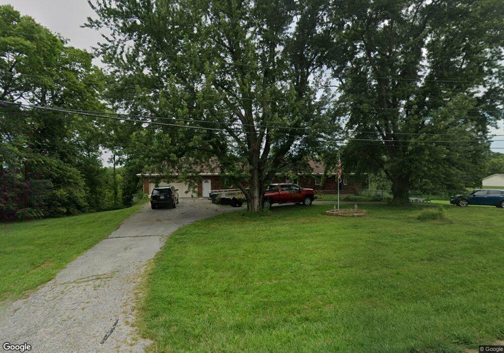
10821 State Route T Savannah, MO 64485
Estimated Value: $390,043 - $446,000
4
Beds
2
Baths
3,421
Sq Ft
$123/Sq Ft
Est. Value
About This Home
This home is located at 10821 State Route T, Savannah, MO 64485 and is currently estimated at $422,261, approximately $123 per square foot. 10821 State Route T is a home located in Andrew County with nearby schools including Savannah High School.
Ownership History
Date
Name
Owned For
Owner Type
Purchase Details
Closed on
Mar 4, 2014
Sold by
Virginia Virginia
Bought by
Hartman Daniel and Hartman Cristi M
Current Estimated Value
Home Financials for this Owner
Home Financials are based on the most recent Mortgage that was taken out on this home.
Original Mortgage
$188,977
Outstanding Balance
$143,347
Interest Rate
4.36%
Estimated Equity
$278,914
Create a Home Valuation Report for This Property
The Home Valuation Report is an in-depth analysis detailing your home's value as well as a comparison with similar homes in the area
Home Values in the Area
Average Home Value in this Area
Purchase History
| Date | Buyer | Sale Price | Title Company |
|---|---|---|---|
| Hartman Daniel | -- | -- |
Source: Public Records
Mortgage History
| Date | Status | Borrower | Loan Amount |
|---|---|---|---|
| Open | Hartman Daniel | $188,977 |
Source: Public Records
Tax History Compared to Growth
Tax History
| Year | Tax Paid | Tax Assessment Tax Assessment Total Assessment is a certain percentage of the fair market value that is determined by local assessors to be the total taxable value of land and additions on the property. | Land | Improvement |
|---|---|---|---|---|
| 2024 | $1,807 | $30,570 | $3,230 | $27,340 |
| 2023 | $1,837 | $30,570 | $3,230 | $27,340 |
| 2022 | $1,834 | $30,570 | $3,230 | $27,340 |
| 2021 | $1,748 | $30,570 | $3,230 | $27,340 |
| 2020 | $1,716 | $30,570 | $3,230 | $27,340 |
| 2019 | $1,718 | $30,570 | $3,230 | $27,340 |
| 2018 | $1,716 | $30,570 | $3,230 | $27,340 |
| 2017 | $0 | $30,570 | $3,230 | $27,340 |
| 2016 | $1,753 | $30,570 | $3,230 | $27,340 |
| 2015 | -- | $30,570 | $3,230 | $27,340 |
| 2011 | -- | $157,820 | $17,000 | $140,820 |
Source: Public Records
Map
Nearby Homes
- 310 S 14th St
- 1309 W Price Ave
- 1106 W Market St
- 1103 W Market St
- 1213 W Chestnut St
- 602 W Benton St
- 405 S 6th St
- 203 S 6th St
- 10207 State Highway T
- 601 W Elk St
- 11123 County Road 159
- 0 W Duncan Dr
- 706 N 5th Terrace
- 102 W Swenson Dr
- 408 N 1st St
- 14610 State Route Dd
- 201 N Cedar St
- 12055 State Highway C N A
- 12931 County Road 332 N A
- 1106 E Chestnut Ct Unit A
- 10898 State Route T
- 10925 State Route T
- 10925 State Route T N A
- 10618 County Road 464
- 10750 County Road 464
- 10723 State Route T
- 1502 State Route T
- 1408 State Route T
- 10707 State Route T
- 10610 County Road 464
- 504 S 14th St
- 404 S 14th St
- 600 S 13th Terrace
- 602 S 13th Terrace
- 604 S 13th Terrace
- 1307 State Route T
- 1308 W Benton St
- 10520 County Road 464
- 606 S 13
- 1304 W Maple St