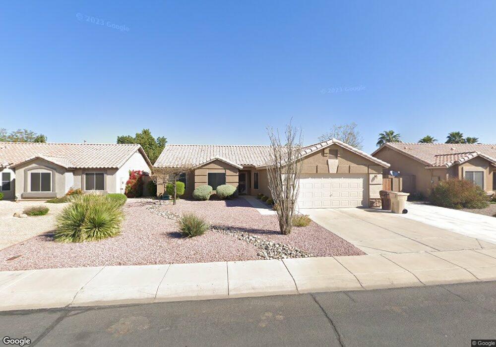
10822 W Harmony Ln Sun City, AZ 85373
Estimated Value: $382,984 - $463,000
About This Home
This home is located at 10822 W Harmony Ln, Sun City, AZ 85373 and is currently estimated at $427,746, approximately $249 per square foot. 10822 W Harmony Ln is a home located in Maricopa County with nearby schools including Parkridge Elementary School, Sunrise Mountain High School, and Candeo Peoria.
Ownership History
We collect this data history from publicly available records. To have your information removed, we recommend requesting removal directly through your county’s website.
Purchase Details
Purchase Details
Home Financials for this Owner
Home Financials are based on the most recent Mortgage that was taken out on this home.Purchase Details
Home Financials for this Owner
Home Financials are based on the most recent Mortgage that was taken out on this home.Purchase Details
Home Financials for this Owner
Home Financials are based on the most recent Mortgage that was taken out on this home.Purchase Details
Home Financials for this Owner
Home Financials are based on the most recent Mortgage that was taken out on this home.Purchase History
We collect this data history from publicly available records. To have your information removed, we recommend requesting removal directly through your county’s website.
| Date | Buyer | Sale Price | Title Company |
|---|---|---|---|
| -- | None Available | ||
| $187,000 | Arizona Title Agency Inc | ||
| $140,000 | Security Title Agency | ||
| $138,650 | Old Republic Title Agency | ||
| $24,100 | Old Republic Title Agency |
Mortgage History
We collect this data history from publicly available records. To have your information removed, we recommend requesting removal directly through your county’s website.
| Date | Status | Borrower | Loan Amount |
|---|---|---|---|
| Previous Owner | $149,600 | ||
| Previous Owner | $134,825 | ||
| Previous Owner | $131,700 | ||
| Previous Owner | $5,000 |
Tax History
We collect this data history from publicly available records. To have your information removed, we recommend requesting removal directly through your county’s website.
| Year | Tax Paid | Tax Assessment Tax Assessment Total Assessment is a certain percentage of the fair market value that is determined by local assessors to be the total taxable value of land and additions on the property. | Land | Improvement |
|---|---|---|---|---|
| 2025 | $1,458 | $18,720 | -- | -- |
| 2024 | $1,436 | $17,828 | -- | -- |
| 2023 | $1,436 | $31,910 | $6,380 | $25,530 |
| 2022 | $1,406 | $24,210 | $4,840 | $19,370 |
| 2021 | $1,506 | $22,300 | $4,460 | $17,840 |
| 2020 | $1,520 | $20,520 | $4,100 | $16,420 |
| 2019 | $1,471 | $19,460 | $3,890 | $15,570 |
| 2018 | $1,422 | $17,800 | $3,560 | $14,240 |
| 2017 | $1,423 | $16,410 | $3,280 | $13,130 |
| 2016 | $1,398 | $15,420 | $3,080 | $12,340 |
| 2015 | $1,314 | $13,960 | $2,790 | $11,170 |
Map
- 10834 W Quail Ave
- 10851 W Beaubien Dr
- 10729 W Irma Ln
- 20632 N 107th Dr
- 20353 N 109th Ave
- 10533 W Potter Dr
- 20347 N 109th Ln
- 10594 W Lone Cactus Dr
- 11059 W Irma Ln
- 10622 W Mohawk Ln
- 20444 N 110th Ave
- 10648 W Runion Dr
- 10633 W Runion Dr
- 10773 W Tonopah Dr
- 10617 W Runion Dr
- 10523 W Mohawk Ln
- 11066 W Runion Dr
- 20630 N 104th Ave
- 20636 N 104th Ave
- 10525 W Runion Dr
- 10816 W Harmony Ln
- 10828 W Harmony Ln
- 10821 W Deanna Dr
- 10815 W Deanna Dr
- 10827 W Deanna Dr
- 10810 W Harmony Ln
- 10834 W Harmony Ln
- 10815 W Deanna Dr
- 10821 W Harmony Ln
- 10821 W Harmony Ln
- 10809 W Deanna Dr
- 10815 W Harmony Ln
- 10833 W Deanna Dr
- 10827 W Harmony Ln
- 10776 W Harmony Ln
- 10776 W Harmony Ln Unit PEORIA
- 10840 W Harmony Ln
- 10833 W Harmony Ln
- 10775 W Deanna Dr
- 10839 W Deanna Dr
Ask me questions while you tour the home.