10823 Red Maple Dr Denton, MD 21629
Estimated Value: $333,232 - $428,000
Studio
--
Bath
1,280
Sq Ft
$302/Sq Ft
Est. Value
About This Home
This home is located at 10823 Red Maple Dr, Denton, MD 21629 and is currently estimated at $386,808, approximately $302 per square foot. 10823 Red Maple Dr is a home located in Caroline County with nearby schools including Denton Elementary School, Lockerman Middle School, and North Caroline High School.
Ownership History
Date
Name
Owned For
Owner Type
Purchase Details
Closed on
Dec 13, 2010
Sold by
Mid-Shore Development Llc
Bought by
Strudwick Tressa
Current Estimated Value
Home Financials for this Owner
Home Financials are based on the most recent Mortgage that was taken out on this home.
Original Mortgage
$172,000
Outstanding Balance
$113,695
Interest Rate
4.23%
Mortgage Type
New Conventional
Estimated Equity
$273,113
Create a Home Valuation Report for This Property
The Home Valuation Report is an in-depth analysis detailing your home's value as well as a comparison with similar homes in the area
Home Values in the Area
Average Home Value in this Area
Purchase History
| Date | Buyer | Sale Price | Title Company |
|---|---|---|---|
| Strudwick Tressa | $220,000 | -- |
Source: Public Records
Mortgage History
| Date | Status | Borrower | Loan Amount |
|---|---|---|---|
| Open | Strudwick Tressa | $172,000 |
Source: Public Records
Tax History
| Year | Tax Paid | Tax Assessment Tax Assessment Total Assessment is a certain percentage of the fair market value that is determined by local assessors to be the total taxable value of land and additions on the property. | Land | Improvement |
|---|---|---|---|---|
| 2025 | $3,140 | $313,500 | $66,600 | $246,900 |
| 2024 | $2,982 | $289,167 | $0 | $0 |
| 2023 | $2,831 | $264,833 | $0 | $0 |
| 2022 | $2,686 | $240,500 | $66,600 | $173,900 |
| 2021 | $2,502 | $232,067 | $0 | $0 |
| 2020 | $2,502 | $223,633 | $0 | $0 |
| 2019 | $2,410 | $215,200 | $60,400 | $154,800 |
| 2018 | $2,401 | $214,367 | $0 | $0 |
| 2017 | $2,392 | $213,533 | $0 | $0 |
| 2016 | -- | $212,700 | $0 | $0 |
| 2015 | $1,926 | $206,167 | $0 | $0 |
| 2014 | $1,926 | $199,633 | $0 | $0 |
Source: Public Records
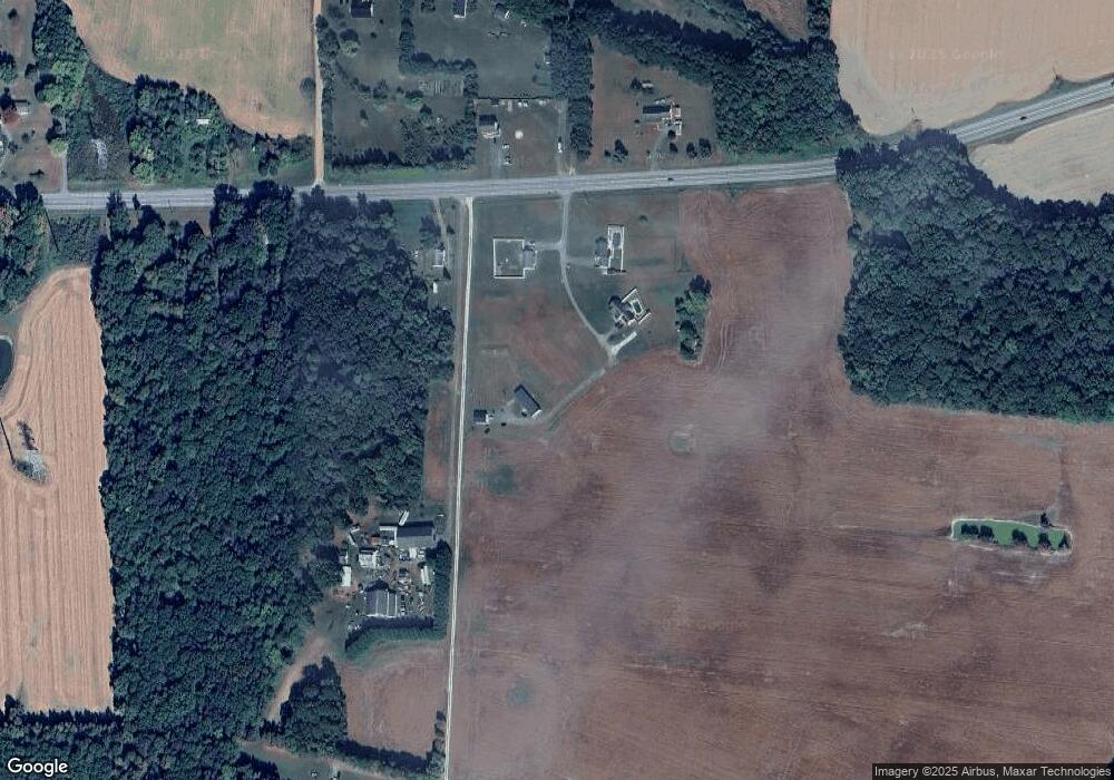
Map
Nearby Homes
- 10819 Greensboro Rd
- 1108 Camp Rd
- 25331 Adams Landing Rd
- 118 Briarwood Cir
- 1907 Blue Heron Dr
- 1107 Osprey Ln
- 1412 Blue Heron Dr
- 1507 Blue Heron Dr
- 1106 Osprey Ln
- 1204 Blue Heron Dr
- 1202 Blue Heron Dr
- 1203 Tuckahoe Ct
- 25361 Calvert Dr
- 1005 Market St
- 804 Gay St
- 1303 Fairfield Ct
- 501 Lincoln St
- 536 Gay St
- 12 N 4th St
- 106 S 6th St
- 1 Red Maple Dr
- 10839 Red Maple Dr
- 0 Red Maple Dr Unit CM10112397
- 10848 Red Maple Dr
- 25986 Burrsville Rd
- 25929 Burrsville Rd
- 25938 Burrsville Rd
- 26033 Burrsville Rd
- 10925 Miller Rd
- 10919 Miller Rd
- 25931 Burrsville Rd
- 25852 Burrsville Rd
- 25841 Burrsville Rd
- 26129 Burrsville Rd
- 25958 Burrsville Rd
- 25786 Burrsville Rd
- 25810 Burrsville Rd
- 25775 Burrsville Rd
- 25933 Burrsville Rd
- 10750 Garland Rd
Your Personal Tour Guide
Ask me questions while you tour the home.