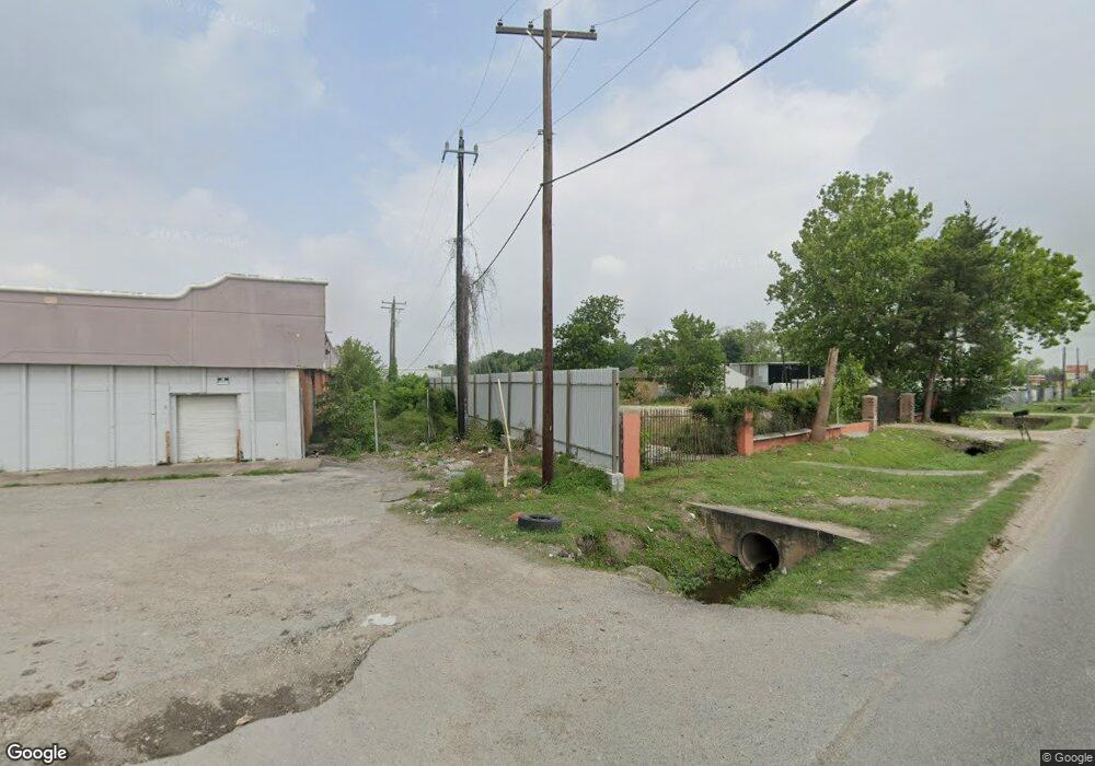
10825 Aldine Westfield Rd Houston, TX 77093
Eastex-Jensen NeighborhoodEstimated Value: $200,000
2
Beds
1
Bath
1,315
Sq Ft
$152/Sq Ft
Est. Value
About This Home
This home is located at 10825 Aldine Westfield Rd, Houston, TX 77093 and is currently priced at $200,000, approximately $152 per square foot. 10825 Aldine Westfield Rd is a home located in Harris County with nearby schools including Barrick Elementary School, Patrick Henry Middle School, and Sam Houston Math, Science & Technology Center.
Ownership History
Date
Name
Owned For
Owner Type
Purchase Details
Closed on
Sep 14, 2020
Sold by
Guajardo Alma D
Bought by
Cruz Neftali
Current Estimated Value
Purchase Details
Closed on
Jan 21, 2013
Sold by
Garcia Maria Socorro
Bought by
Guajardo Alma D
Purchase Details
Closed on
Nov 28, 2012
Sold by
Guajardo Alma D
Bought by
Garcia Maria Socorro
Create a Home Valuation Report for This Property
The Home Valuation Report is an in-depth analysis detailing your home's value as well as a comparison with similar homes in the area
Home Values in the Area
Average Home Value in this Area
Purchase History
| Date | Buyer | Sale Price | Title Company |
|---|---|---|---|
| Cruz Neftali | -- | None Available | |
| Guajardo Alma D | -- | None Available | |
| Garcia Maria Socorro | -- | None Available |
Source: Public Records
Tax History Compared to Growth
Tax History
| Year | Tax Paid | Tax Assessment Tax Assessment Total Assessment is a certain percentage of the fair market value that is determined by local assessors to be the total taxable value of land and additions on the property. | Land | Improvement |
|---|---|---|---|---|
| 2025 | $24,644 | $1,177,660 | $992,650 | $185,010 |
| 2024 | $24,644 | $1,177,819 | $992,650 | $185,169 |
| 2023 | $23,755 | $1,179,009 | $992,650 | $186,359 |
| 2022 | $12,529 | $569,025 | $413,604 | $155,421 |
| 2021 | $12,892 | $553,128 | $413,604 | $139,524 |
| 2020 | $13,286 | $548,644 | $413,604 | $135,040 |
| 2019 | $13,088 | $517,217 | $377,644 | $139,573 |
| 2018 | $2,883 | $113,918 | $113,718 | $200 |
| 2017 | $2,880 | $113,918 | $113,718 | $200 |
| 2016 | $2,880 | $113,918 | $113,718 | $200 |
| 2015 | $1,568 | $113,918 | $113,718 | $200 |
| 2014 | $1,568 | $113,918 | $91,911 | $22,007 |
Source: Public Records
Map
Nearby Homes
- 1908 Little York Rd
- 2122 Kowis St
- 2152 William Tell St
- 1829 Skinner Rd
- 1930 Cromwell St
- 1802 Kowis St
- 2131 Cromwell St Unit D
- 2315 Langley Rd
- 2237 Cromwell St
- 2131 Warwick Rd
- 2123 Warwick Rd
- 10514 Exeter St
- 10512 Exeter St
- 2311 Warwick Rd
- 2636 Lone Oak Rd
- 2306 Wardmont St
- 2332 Margaret St
- 2629 Kowis St
- 2326 Sunny Dr
- 2415 Goodloe St
- 10855 Aldine Westfield Rd
- 10846 Aldine Westfield Rd
- 10854 Aldine Westfield Rd
- 1914 Lone Oak Rd
- 1914 Lone Oak Rd
- 2110 Trenton Rd
- 2002 Lone Oak Rd
- 2000 Little York
- 2114 Trenton Rd
- 2126 Lone Oak Rd
- 0 Gwen Rd
- 1906 Lone Oak Rd Unit 5
- 2001 Lone Oak Rd
- 2116 Trenton Rd
- 2113 Lone Oak Rd
- TBD Trenton Rd
- 2107 Pine Tree Dr
- 2119 Pine Tree Dr
- 2103 Pine Tree Dr
- 2120 Trenton Rd