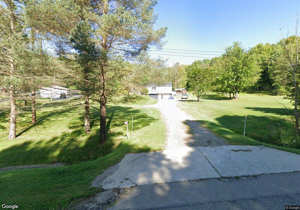
10828 Route 242 Unit NYS Randolph, NY 14772
Estimated Value: $153,000 - $202,040
4
Beds
3
Baths
1,412
Sq Ft
$121/Sq Ft
Est. Value
About This Home
This home is located at 10828 Route 242 Unit NYS, Randolph, NY 14772 and is currently estimated at $170,510, approximately $120 per square foot. 10828 Route 242 Unit NYS is a home located in Cattaraugus County with nearby schools including G.N. Chapman Elementary School and Randolph Senior High School.
Ownership History
Date
Name
Owned For
Owner Type
Purchase Details
Closed on
Nov 2, 2015
Sold by
Harkness Brent A
Bought by
Cobo Jeramy
Current Estimated Value
Home Financials for this Owner
Home Financials are based on the most recent Mortgage that was taken out on this home.
Original Mortgage
$68,000
Outstanding Balance
$39,254
Interest Rate
3.92%
Mortgage Type
New Conventional
Estimated Equity
$131,256
Purchase Details
Closed on
Dec 18, 2009
Sold by
Wade Betty
Bought by
Harkness Brent
Home Financials for this Owner
Home Financials are based on the most recent Mortgage that was taken out on this home.
Original Mortgage
$60,000
Interest Rate
5%
Mortgage Type
Purchase Money Mortgage
Purchase Details
Closed on
Sep 3, 2008
Sold by
Ellis Kevin
Bought by
Wade Betty
Purchase Details
Closed on
Apr 30, 2003
Sold by
Wade Betty
Bought by
Ellis Kevin
Create a Home Valuation Report for This Property
The Home Valuation Report is an in-depth analysis detailing your home's value as well as a comparison with similar homes in the area
Home Values in the Area
Average Home Value in this Area
Purchase History
| Date | Buyer | Sale Price | Title Company |
|---|---|---|---|
| Cobo Jeramy | $85,000 | Bridgett Marshall | |
| Harkness Brent | $75,000 | Dana A Lundberg | |
| Wade Betty | -- | Charles T Hall | |
| Ellis Kevin | -- | Charles Hall |
Source: Public Records
Mortgage History
| Date | Status | Borrower | Loan Amount |
|---|---|---|---|
| Open | Cobo Jeramy | $68,000 | |
| Previous Owner | Harkness Brent | $60,000 |
Source: Public Records
Tax History Compared to Growth
Tax History
| Year | Tax Paid | Tax Assessment Tax Assessment Total Assessment is a certain percentage of the fair market value that is determined by local assessors to be the total taxable value of land and additions on the property. | Land | Improvement |
|---|---|---|---|---|
| 2024 | $2,526 | $134,800 | $14,600 | $120,200 |
| 2023 | $2,500 | $125,400 | $14,300 | $111,100 |
| 2022 | $2,354 | $104,500 | $14,300 | $90,200 |
| 2021 | $2,431 | $98,100 | $14,300 | $83,800 |
| 2020 | $2,797 | $89,000 | $9,100 | $79,900 |
| 2019 | $901 | $89,000 | $9,100 | $79,900 |
| 2018 | $2,960 | $89,000 | $9,100 | $79,900 |
| 2017 | $2,859 | $89,000 | $9,100 | $79,900 |
| 2016 | $2,738 | $89,000 | $9,100 | $79,900 |
| 2015 | -- | $89,000 | $9,100 | $79,900 |
| 2014 | -- | $56,000 | $4,800 | $51,200 |
Source: Public Records
Map
Nearby Homes
- 3981 Route 394
- 106 Hall St
- 135 Williams St
- 152 Main St
- 288 Spring St
- 170 Spring St
- 0 Earl Seaton Rd Unit 11440896
- 0 Earl Seaton Rd Unit R1590541
- 137 Conewango Rd
- 3660 New York 394
- 0 Bank St
- 144 Main St
- 4377 Allegany Rd
- 6 Dean St
- 001 Lot B Bowen Rd
- 001 Lot A Bowen Rd
- 9925 Route 242
- v/l Bunker Hill Rd
- 0 Bunker Hill Rd Unit LotWP001
- 10473 Oldro Rd
- 10828 New York 242
- 10824 Route 242 Unit NYS
- 10824 Route 242
- 10834 Route 242 Unit NYS
- 10819 Route 242 Unit NYS
- 10802 Route 242 Unit NYS
- 10867 Route 242 Unit NYS
- 10869 Route 242 Unit NYS
- 10772 Route 242 Unit NYS
- 10877 Route 242 Unit NYS
- 10816 Lebanon Rd
- 10888 Route 242 Unit NYS
- 3944 Route 394 Unit NYS
- 10742 Route 242 Unit NYS
- 10889 Route 242
- 3938 Route 394
- 3890 Route 394
- 3934 Route 394 Unit NYS
- 10812 Lebanon Rd
- 3928 Route 394 Unit NYS