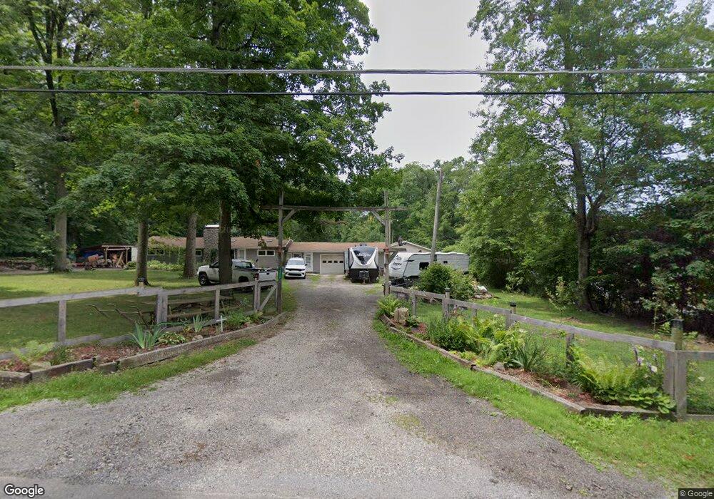
10829 Clapsaddle Ave NE Alliance, OH 44601
Estimated Value: $242,000 - $405,000
3
Beds
2
Baths
1,296
Sq Ft
$247/Sq Ft
Est. Value
About This Home
This home is located at 10829 Clapsaddle Ave NE, Alliance, OH 44601 and is currently estimated at $319,617, approximately $246 per square foot. 10829 Clapsaddle Ave NE is a home located in Stark County with nearby schools including Marlington High School and Regina Coeli/St Joseph School.
Ownership History
Date
Name
Owned For
Owner Type
Purchase Details
Closed on
Nov 9, 1998
Sold by
Pinkerton Marjorie D
Bought by
Faverty Kenneth R and Faverty Bonnie R
Current Estimated Value
Home Financials for this Owner
Home Financials are based on the most recent Mortgage that was taken out on this home.
Original Mortgage
$76,000
Interest Rate
6.72%
Purchase Details
Closed on
Feb 4, 1991
Create a Home Valuation Report for This Property
The Home Valuation Report is an in-depth analysis detailing your home's value as well as a comparison with similar homes in the area
Home Values in the Area
Average Home Value in this Area
Purchase History
| Date | Buyer | Sale Price | Title Company |
|---|---|---|---|
| Faverty Kenneth R | $95,000 | -- | |
| -- | $56,000 | -- |
Source: Public Records
Mortgage History
| Date | Status | Borrower | Loan Amount |
|---|---|---|---|
| Closed | Faverty Kenneth R | $76,000 |
Source: Public Records
Tax History Compared to Growth
Tax History
| Year | Tax Paid | Tax Assessment Tax Assessment Total Assessment is a certain percentage of the fair market value that is determined by local assessors to be the total taxable value of land and additions on the property. | Land | Improvement |
|---|---|---|---|---|
| 2025 | -- | $100,070 | $38,260 | $61,810 |
| 2024 | -- | $100,700 | $38,260 | $62,440 |
| 2023 | $3,055 | $82,570 | $23,870 | $58,700 |
| 2022 | $3,001 | $80,850 | $23,870 | $56,980 |
| 2021 | $3,011 | $80,850 | $23,870 | $56,980 |
| 2020 | $2,702 | $66,470 | $20,060 | $46,410 |
| 2019 | $2,683 | $66,900 | $20,060 | $46,840 |
| 2018 | $2,579 | $66,900 | $20,060 | $46,840 |
| 2017 | $2,124 | $50,920 | $16,180 | $34,740 |
| 2016 | $2,125 | $50,920 | $16,180 | $34,740 |
| 2015 | $2,043 | $48,880 | $16,180 | $32,700 |
| 2014 | $1,926 | $42,600 | $14,110 | $28,490 |
| 2013 | $942 | $42,600 | $14,110 | $28,490 |
Source: Public Records
Map
Nearby Homes
- 0 Reeder Ave NE
- 10666 Wilma Ave NE
- 12355 Edison St NE
- 11960 Freshley Ave NE
- 12415 Snode St NE
- 13334 Cindy St NE
- 0 Meadow St NE
- 13109 Edison St NE
- 11480 Aebi Ave NE
- 1430 Westwood Ave
- 2377 Ansley St Unit 2377
- 0 W Main St Unit 5090123
- 2081 Marwood Cir
- 2851 Patriots Path Unit 3D
- 2435 Queensbury Rd
- 000 Klinger Ave
- 0 Valewood Cir Unit 5006281
- 432 Johnson Ave
- 14422 Sturbridge Rd NE
- 0 Easton St NE
- 10785 Clapsaddle Ave NE
- 10785 Clapsaddle Ave NE
- 10859 Clapsaddle Ave NE
- 10893 Clapsaddle Ave NE
- 10838 Clapsaddle Ave NE
- 11206 Clapsaddle Ave NE
- 10790 Clapsaddle Ave NE
- 10870 Clapsaddle Ave NE
- 10861 Clapsaddle Ave NE
- 10953 Clapsaddle Ave NE
- 10770 Clapsaddle Ave NE
- 10690 Clapsaddle Ave NE
- 10730 Clapsaddle Ave NE
- 10970 Clapsaddle Ave NE
- 11067 Clapsaddle Ave NE
- 10636 Clapsaddle Ave NE
- 11028 Clapsaddle Ave NE
- 10566 Clapsaddle Ave NE
- 10959 Beeson St NE
- 11243 Beeson St NE