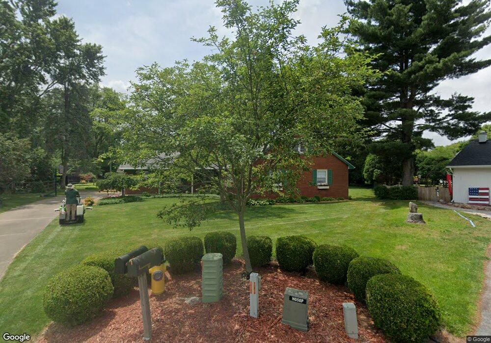
1083 Carol Rd Bowling Green, OH 43402
Estimated Value: $343,000 - $381,000
5
Beds
3
Baths
2,416
Sq Ft
$149/Sq Ft
Est. Value
About This Home
This home is located at 1083 Carol Rd, Bowling Green, OH 43402 and is currently estimated at $358,945, approximately $148 per square foot. 1083 Carol Rd is a home located in Wood County with nearby schools including Bowling Green High School, Montessori School Of Bowling Green, and Bowling Green Christian Academy.
Ownership History
Date
Name
Owned For
Owner Type
Purchase Details
Closed on
Jul 14, 2008
Sold by
Goodwin Robert P and Goodwin Elaine D
Bought by
Goodwin Robert P and Goodwin Elaine D
Current Estimated Value
Purchase Details
Closed on
Oct 7, 2002
Sold by
Goodwin Robert P
Bought by
Goodwin Robert P and Goodwin Elaine D
Purchase Details
Closed on
Jan 1, 1990
Bought by
Goodwin Robert P
Create a Home Valuation Report for This Property
The Home Valuation Report is an in-depth analysis detailing your home's value as well as a comparison with similar homes in the area
Home Values in the Area
Average Home Value in this Area
Purchase History
| Date | Buyer | Sale Price | Title Company |
|---|---|---|---|
| Goodwin Robert P | -- | Attorney | |
| Goodwin Robert P | -- | -- | |
| Goodwin Robert P | -- | -- |
Source: Public Records
Tax History Compared to Growth
Tax History
| Year | Tax Paid | Tax Assessment Tax Assessment Total Assessment is a certain percentage of the fair market value that is determined by local assessors to be the total taxable value of land and additions on the property. | Land | Improvement |
|---|---|---|---|---|
| 2024 | $3,943 | $100,205 | $15,295 | $84,910 |
| 2023 | $3,943 | $100,210 | $15,300 | $84,910 |
| 2021 | $3,100 | $79,910 | $12,250 | $67,660 |
| 2020 | $3,109 | $79,910 | $12,250 | $67,660 |
| 2019 | $2,813 | $70,070 | $12,250 | $57,820 |
| 2018 | $2,788 | $70,070 | $12,250 | $57,820 |
| 2017 | $1,253 | $70,070 | $12,250 | $57,820 |
| 2016 | $2,465 | $63,000 | $12,250 | $50,750 |
| 2015 | $2,465 | $63,000 | $12,250 | $50,750 |
| 2014 | $2,543 | $63,000 | $12,250 | $50,750 |
| 2013 | $2,743 | $63,000 | $12,250 | $50,750 |
Source: Public Records
Map
Nearby Homes
- 1321 Charles St
- 1024 Clark St
- 1103 Pearl St
- 1326 Pine Valley Dr
- 847 Pearl St
- 54 Foxgate Cir E Unit 1350
- 94 Summerfield Blvd Unit 832
- 893 W Wooster St
- 519 Knollwood Dr
- 748 Pine Valley Dr
- 935 Pine Valley Dr
- 219 Winfield Dr
- 848 Pine Valley Dr
- 854 Pine Valley Dr
- 860 Pine Valley Dr
- 0 Sand Ridge Rd Unit Lot 5 6095897
- 0 Sand Ridge Rd Unit Lot 4 6095895
- 0 Sand Ridge Rd Unit Lot 1
- 0 Haskins Rd Unit 6132516
- 884 Pine Valley Dr