Estimated Value: $501,000 - $702,000
3
Beds
2
Baths
1,447
Sq Ft
$411/Sq Ft
Est. Value
About This Home
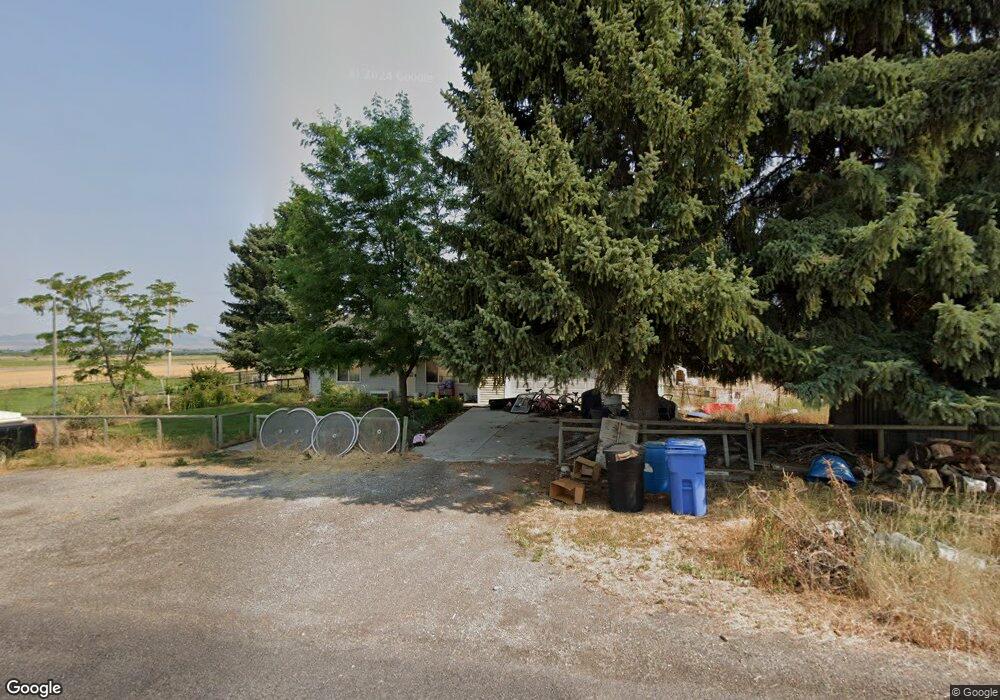
This home is located at 1083 E 12700 N, Cove, UT 84320 and is currently estimated at $594,933, approximately $411 per square foot. 1083 E 12700 N is a home located in Cache County with nearby schools including Lewiston School, White Pine Middle School, and North Cache Middle School.
Ownership History
Date
Name
Owned For
Owner Type
Purchase Details
Closed on
Apr 14, 2006
Sold by
Buttars Jared J
Bought by
Buttars Jared J and Buttars Amanda
Current Estimated Value
Home Financials for this Owner
Home Financials are based on the most recent Mortgage that was taken out on this home.
Original Mortgage
$127,500
Outstanding Balance
$72,185
Interest Rate
6.2%
Mortgage Type
New Conventional
Estimated Equity
$522,748
Purchase Details
Closed on
Sep 4, 2001
Sold by
Jenson Paul W and Jenson Dawn R
Bought by
Porter Frederick Bart and Porter Melissa
Home Financials for this Owner
Home Financials are based on the most recent Mortgage that was taken out on this home.
Original Mortgage
$115,304
Interest Rate
7.05%
Mortgage Type
FHA
Create a Home Valuation Report for This Property
The Home Valuation Report is an in-depth analysis detailing your home's value as well as a comparison with similar homes in the area
Purchase History
| Date | Buyer | Sale Price | Title Company |
|---|---|---|---|
| Buttars Jared J | -- | American Secure Title | |
| Buttars Jared J | -- | American Secure Title | |
| Porter Frederick Bart | -- | Northern Title Company |
Source: Public Records
Mortgage History
| Date | Status | Borrower | Loan Amount |
|---|---|---|---|
| Open | Buttars Jared J | $127,500 | |
| Previous Owner | Porter Frederick Bart | $115,304 |
Source: Public Records
Tax History
| Year | Tax Paid | Tax Assessment Tax Assessment Total Assessment is a certain percentage of the fair market value that is determined by local assessors to be the total taxable value of land and additions on the property. | Land | Improvement |
|---|---|---|---|---|
| 2025 | $245 | $392,910 | $0 | $0 |
| 2024 | $1,806 | $267,025 | $0 | $0 |
| 2023 | $1,917 | $265,380 | $0 | $0 |
| 2022 | $1,940 | $256,735 | $0 | $0 |
| 2021 | $1,973 | $377,300 | $114,000 | $263,300 |
| 2020 | $1,457 | $267,700 | $65,000 | $202,700 |
| 2019 | $1,540 | $267,700 | $65,000 | $202,700 |
| 2018 | $1,095 | $181,120 | $65,000 | $116,120 |
| 2017 | $1,084 | $100,710 | $0 | $0 |
| 2016 | $1,098 | $100,710 | $0 | $0 |
| 2015 | $992 | $92,460 | $0 | $0 |
| 2014 | $963 | $92,460 | $0 | $0 |
| 2013 | -- | $92,460 | $0 | $0 |
Source: Public Records
Map
Nearby Homes
- 1009 E High Creek Rd
- 13485 N 2200 E
- 12506 N 525 E Unit 6
- 219 N 1350 E Unit 302
- 12489 N 525 E
- 12455 N 525 E Unit 1
- 12455 N 525 E
- 12506 N 525 E
- 12484 N 525 E Unit 7
- 12521 N 525 E
- 12518 N 525 E Unit 5
- 12489 N 525 E Unit 2
- 2400 W
- 12484 N 525 E
- 12518 N 525 E
- 12456 N 525 E Unit 8
- 12521 N 525 E Unit 3
- 12456 N 525 E
- 2307 Maple Leaf Dr
- 684 N Cherry Creek Pkwy E
Your Personal Tour Guide
Ask me questions while you tour the home.