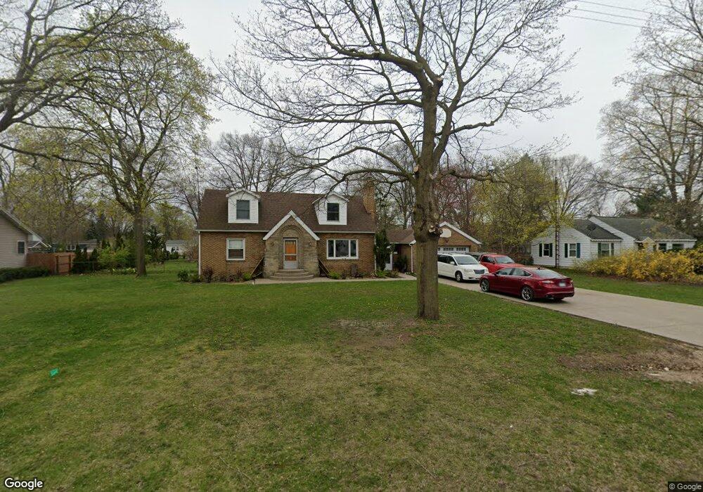
1083 Englewood Ave Norton Shores, MI 49441
Estimated Value: $234,000 - $265,000
3
Beds
1
Bath
1,181
Sq Ft
$214/Sq Ft
Est. Value
About This Home
This home is located at 1083 Englewood Ave, Norton Shores, MI 49441 and is currently estimated at $253,013, approximately $214 per square foot. 1083 Englewood Ave is a home located in Muskegon County with nearby schools including Mona Shores High School, Edgewood Elementary Academy, and Dr. Martin Luther King Academy.
Ownership History
Date
Name
Owned For
Owner Type
Purchase Details
Closed on
Apr 4, 2024
Sold by
Lillie Stephen E and Lillie Jean E
Bought by
Stephen E And Jean E Lillie Irrevocable Trust and Chasco
Current Estimated Value
Purchase Details
Closed on
May 22, 2003
Sold by
Oakwood Baptist Church
Bought by
Lillie Stephen and Lillie Jean
Home Financials for this Owner
Home Financials are based on the most recent Mortgage that was taken out on this home.
Original Mortgage
$37,000
Interest Rate
5.9%
Mortgage Type
Purchase Money Mortgage
Create a Home Valuation Report for This Property
The Home Valuation Report is an in-depth analysis detailing your home's value as well as a comparison with similar homes in the area
Home Values in the Area
Average Home Value in this Area
Purchase History
| Date | Buyer | Sale Price | Title Company |
|---|---|---|---|
| Stephen E And Jean E Lillie Irrevocable Trust | -- | None Listed On Document | |
| Lillie Stephen | $75,000 | Harbor Title |
Source: Public Records
Mortgage History
| Date | Status | Borrower | Loan Amount |
|---|---|---|---|
| Previous Owner | Lillie Stephen | $37,000 |
Source: Public Records
Tax History Compared to Growth
Tax History
| Year | Tax Paid | Tax Assessment Tax Assessment Total Assessment is a certain percentage of the fair market value that is determined by local assessors to be the total taxable value of land and additions on the property. | Land | Improvement |
|---|---|---|---|---|
| 2025 | $2,277 | $124,600 | $0 | $0 |
| 2024 | $1,785 | $113,800 | $0 | $0 |
| 2023 | $1,705 | $100,700 | $0 | $0 |
| 2022 | $2,078 | $84,000 | $0 | $0 |
| 2021 | $2,019 | $75,900 | $0 | $0 |
| 2020 | $1,996 | $71,100 | $0 | $0 |
| 2019 | $1,960 | $65,400 | $0 | $0 |
| 2018 | $1,914 | $62,400 | $0 | $0 |
| 2017 | $1,802 | $44,800 | $0 | $0 |
| 2016 | $1,493 | $54,000 | $0 | $0 |
| 2015 | -- | $49,800 | $0 | $0 |
| 2014 | $1,791 | $49,500 | $0 | $0 |
| 2013 | -- | $47,600 | $0 | $0 |
Source: Public Records
Map
Nearby Homes
- 1068 Englewood Ave
- 1130 Englewood Ave
- 4468 Spruce Ct
- 4476 Cedar Ln Unit 54
- 1067 Aspen Dr
- V/L 4535 Thompson Rd
- 945 Petrie Ave
- 1065 Wilson Ct
- 4535 Thompson Rd
- 1201 Shettler Rd
- 4060 Buck St
- 4638 Lauren Dr
- 4102 Highgate Rd
- 1454 Airport Rd
- 3920 Highgate Rd
- 4677 Harvey St
- 4769 Harvey St
- 4085 Quainton Rd
- 1404 E Ellis Rd
- 3835 Molly Blvd
- 1059 Englewood Ave
- 1103 Englewood Ave
- 1062 Vick Rd
- 1076 Vick Rd
- 1052 Vick Rd
- 1037 Englewood Ave
- 1115 Englewood Ave
- 1084 Englewood Ave
- 1090 Vick Rd
- 1058 Englewood Ave
- 1106 Englewood Ave
- 32 Englewood Ave
- 31 Englewood Ave
- 1129 Englewood Ave
- 1104 Englewood Ave
- 1048 Englewood Ave
- 1042 Vick Rd
- 1036 Englewood Ave
- 1145 Englewood Ave
- 1065 Vick Rd