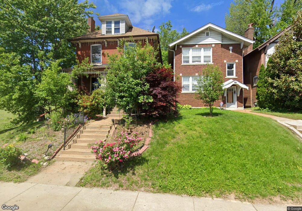
1083 Mccausland Ave Saint Louis, MO 63117
Hi-Pointe NeighborhoodEstimated Value: $231,649 - $369,000
--
Bed
2
Baths
1,612
Sq Ft
$184/Sq Ft
Est. Value
About This Home
This home is located at 1083 Mccausland Ave, Saint Louis, MO 63117 and is currently estimated at $297,412, approximately $184 per square foot. 1083 Mccausland Ave is a home located in St. Louis City with nearby schools including Mason Elementary School, Long International Middle School, and Roosevelt High School.
Ownership History
Date
Name
Owned For
Owner Type
Purchase Details
Closed on
May 2, 2019
Sold by
Carlie M Hale Revocable Living Trust
Bought by
Hale Karen T
Current Estimated Value
Create a Home Valuation Report for This Property
The Home Valuation Report is an in-depth analysis detailing your home's value as well as a comparison with similar homes in the area
Home Values in the Area
Average Home Value in this Area
Purchase History
| Date | Buyer | Sale Price | Title Company |
|---|---|---|---|
| Hale Karen T | -- | None Available |
Source: Public Records
Tax History Compared to Growth
Tax History
| Year | Tax Paid | Tax Assessment Tax Assessment Total Assessment is a certain percentage of the fair market value that is determined by local assessors to be the total taxable value of land and additions on the property. | Land | Improvement |
|---|---|---|---|---|
| 2025 | $2,918 | $41,810 | $1,390 | $40,420 |
| 2024 | $2,776 | $34,520 | $1,390 | $33,130 |
| 2023 | $2,776 | $34,520 | $1,390 | $33,130 |
| 2022 | $2,588 | $30,970 | $1,390 | $29,580 |
| 2021 | $2,584 | $30,970 | $1,390 | $29,580 |
| 2020 | $2,406 | $29,040 | $1,390 | $27,650 |
| 2019 | $2,397 | $29,040 | $1,390 | $27,650 |
| 2018 | $2,050 | $24,020 | $1,390 | $22,630 |
| 2017 | $2,016 | $24,020 | $1,390 | $22,630 |
| 2016 | $1,828 | $21,470 | $1,390 | $20,080 |
| 2015 | $1,658 | $21,470 | $1,390 | $20,080 |
| 2014 | $1,658 | $21,470 | $1,390 | $20,080 |
| 2013 | -- | $21,490 | $1,390 | $20,100 |
Source: Public Records
Map
Nearby Homes
- 7022 Ethel Ave
- 7040 Ethel Ave
- 1111 Forest Ave
- 6815 Wise Ave
- 6340 Clayton Rd Unit 302
- 6350 Clayton Rd Unit 103
- 6350 Clayton Rd Unit 402
- 6756 Dolan Place
- 6932 Nashville Ave
- 6239 Alamo Ave
- 6827 R Dale Ave
- 1225 Kraft St
- 6719 Nashville Ave
- 7315 Wise Ave
- 6232 Southwood Ave Unit 3
- 6312 Southwood Ave Unit 1W
- 801 S Skinker Blvd Unit 5A
- 6614 Oakland Ave Unit A
- 6308 S Rosebury Ave Unit 3E
- 1503 Cutter Ave
- 1077 Mccausland Ave
- 7015 Berthold Ave
- 1075 Mccausland Ave
- 1069 Mccausland Ave
- 7017 Berthold Ave
- 1065 Mccausland Ave
- 7021 Berthold Ave
- 1061 Mccausland Ave
- 7023 Berthold Ave
- 7027 Berthold Ave
- 1059 Mccausland Ave
- 1070 Mccausland Ave
- 7029 Berthold Ave
- 7020 Ethel Ave
- 7026 Ethel Ave
- 1066 Mccausland Ave
- 7030 Ethel Ave
- 7033 Berthold Ave
- 1051 Mccausland Ave
- 1064 Mccausland Ave