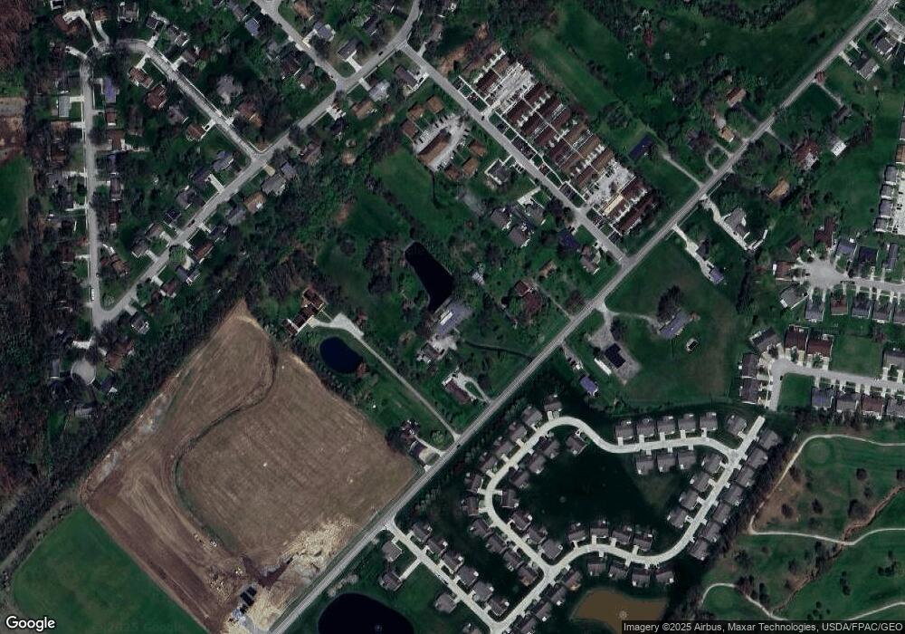
1083 Milford Ave Marysville, OH 43040
Estimated Value: $464,000 - $654,000
2
Beds
3
Baths
4,424
Sq Ft
$129/Sq Ft
Est. Value
About This Home
This home is located at 1083 Milford Ave, Marysville, OH 43040 and is currently estimated at $569,740, approximately $128 per square foot. 1083 Milford Ave is a home located in Union County with nearby schools including Edgewood Elementary School, Creekview Intermediate Elementary School, and Bunsold Middle School.
Ownership History
Date
Name
Owned For
Owner Type
Purchase Details
Closed on
Jan 19, 2009
Sold by
Conkle Theresa A and Conkle James H
Bought by
Conkle Theresa A and Hicks Family Amended & Restated Revocabl
Current Estimated Value
Purchase Details
Closed on
Sep 13, 1994
Sold by
Dale Hobart
Bought by
Hicks Clyde D and Hicks Theresa A
Home Financials for this Owner
Home Financials are based on the most recent Mortgage that was taken out on this home.
Original Mortgage
$180,000
Interest Rate
8.65%
Mortgage Type
New Conventional
Create a Home Valuation Report for This Property
The Home Valuation Report is an in-depth analysis detailing your home's value as well as a comparison with similar homes in the area
Home Values in the Area
Average Home Value in this Area
Purchase History
| Date | Buyer | Sale Price | Title Company |
|---|---|---|---|
| Conkle Theresa A | -- | Attorney | |
| Hicks Clyde D | $225,000 | -- |
Source: Public Records
Mortgage History
| Date | Status | Borrower | Loan Amount |
|---|---|---|---|
| Closed | Hicks Clyde D | $180,000 |
Source: Public Records
Tax History Compared to Growth
Tax History
| Year | Tax Paid | Tax Assessment Tax Assessment Total Assessment is a certain percentage of the fair market value that is determined by local assessors to be the total taxable value of land and additions on the property. | Land | Improvement |
|---|---|---|---|---|
| 2024 | $6,393 | $152,620 | $33,500 | $119,120 |
| 2023 | $6,393 | $152,620 | $33,500 | $119,120 |
| 2022 | $6,277 | $152,620 | $33,500 | $119,120 |
| 2021 | $6,382 | $135,660 | $25,770 | $109,890 |
| 2020 | $6,371 | $135,660 | $25,770 | $109,890 |
| 2019 | $6,449 | $135,660 | $25,770 | $109,890 |
| 2018 | $5,771 | $113,110 | $19,780 | $93,330 |
| 2017 | $5,651 | $113,240 | $19,780 | $93,460 |
| 2016 | $5,632 | $113,240 | $19,780 | $93,460 |
| 2015 | $5,461 | $102,650 | $19,780 | $82,870 |
| 2014 | $5,461 | $102,650 | $19,780 | $82,870 |
| 2013 | $5,141 | $102,650 | $19,780 | $82,870 |
Source: Public Records
Map
Nearby Homes
- 1220 Ashford Dr
- 840 Autumn Chase Ln
- 876 Hickory Hill Dr
- 820 Timbers Edge
- 801 Timbers Edge
- 1042 Van Kirk Dr
- 426 Timberview Dr
- 715 Milcrest Dr
- 780 Bermuda Way
- 675 Bermuda Way
- 366 Hickory Dr
- 1530 Carmel Dr
- 525 Ash St
- 403 Palm Dr
- 1191 Woodline Dr
- 521 Dove St
- 514 Restoration Dr
- 409 Prairie Dr
- 1096 Greenfield Dr
- 1136 Greenfield Dr
- 1107 Milford Ave
- 1057 Milford Ave
- 1039 Milford Ave
- 1131 Milford Ave
- 691 Kenny Ln
- 658 Wood Run Dr
- 648 Wood Run Dr Unit 45
- 701 Kenny Ln
- 601 Kenny Ln
- 597 Kenny Ln Unit 603
- 1099 Milford Ave
- 660 Wood Run Dr Unit 48
- 1064 Milford Ave
- 705 Kenny Ln
- 668 Wood Run Dr Unit 49
- 649 Wood Run Dr Unit 649
- 1050 Milford Ave
- 659 Wood Run Dr Unit 72
- 725 Kenny Ln
- 657 Wood Run Dr Unit 657
