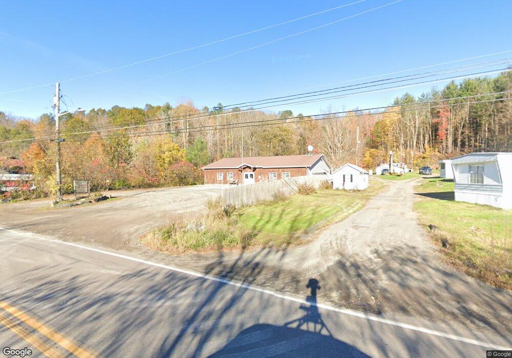
1083 Old Route 17 Windsor, NY 13865
Estimated Value: $244,902
--
Bed
--
Bath
2,400
Sq Ft
$102/Sq Ft
Est. Value
About This Home
This home is located at 1083 Old Route 17, Windsor, NY 13865 and is currently priced at $244,902, approximately $102 per square foot. 1083 Old Route 17 is a home located in Broome County with nearby schools including A.F. Palmer Elementary School / Windsor Central Middle School and Windsor Central High School.
Ownership History
Date
Name
Owned For
Owner Type
Purchase Details
Closed on
Jan 26, 2011
Sold by
Mills Antoinette
Bought by
Mills Dale K and Mills Antoinette
Current Estimated Value
Purchase Details
Closed on
Sep 8, 2009
Sold by
Anderson James
Bought by
Mills Antoinette
Home Financials for this Owner
Home Financials are based on the most recent Mortgage that was taken out on this home.
Original Mortgage
$140,000
Outstanding Balance
$91,233
Interest Rate
5.12%
Mortgage Type
Commercial
Purchase Details
Closed on
Aug 28, 1996
Sold by
Hart Sherry A
Bought by
Anderson James R
Create a Home Valuation Report for This Property
The Home Valuation Report is an in-depth analysis detailing your home's value as well as a comparison with similar homes in the area
Home Values in the Area
Average Home Value in this Area
Purchase History
| Date | Buyer | Sale Price | Title Company |
|---|---|---|---|
| Mills Dale K | -- | None Available | |
| Mills Antoinette | -- | Richard Grace | |
| Mills Antoinette | -- | None Available | |
| Anderson James R | $39,952 | -- |
Source: Public Records
Mortgage History
| Date | Status | Borrower | Loan Amount |
|---|---|---|---|
| Open | Mills Antoinette | $140,000 |
Source: Public Records
Tax History Compared to Growth
Tax History
| Year | Tax Paid | Tax Assessment Tax Assessment Total Assessment is a certain percentage of the fair market value that is determined by local assessors to be the total taxable value of land and additions on the property. | Land | Improvement |
|---|---|---|---|---|
| 2024 | $5,498 | $111,000 | $11,000 | $100,000 |
| 2023 | $5,578 | $111,000 | $11,000 | $100,000 |
| 2022 | $5,262 | $111,000 | $11,000 | $100,000 |
| 2021 | $5,237 | $111,000 | $11,000 | $100,000 |
| 2020 | $5,127 | $111,000 | $11,000 | $100,000 |
| 2019 | $0 | $111,000 | $11,000 | $100,000 |
| 2018 | $5,016 | $111,000 | $11,000 | $100,000 |
| 2017 | $4,987 | $111,000 | $11,000 | $100,000 |
| 2016 | $5,012 | $111,000 | $11,000 | $100,000 |
| 2015 | -- | $111,000 | $11,000 | $100,000 |
| 2014 | -- | $111,000 | $11,000 | $100,000 |
Source: Public Records
Map
Nearby Homes
- 1095 Old Route 17
- 1089 Old Route 17
- 1107 Old Route 17
- 154 Mcnair Rd
- 1115 Old Route 17
- 1031 Old Route 17
- 161 Mcnair Rd
- 1124 Old Route 17
- 186 Mcnair Rd
- 1135 Old Route 17
- 1132 Old Route 17
- 1141 Old Route 17
- 123 Mcnair Rd
- 1011 Old Route 17
- 1159 Old Route 17
- 223 Mcnair Rd
- 1168 Old Route 17
- 1170 Old Route 17
- 1176 Old Route 17
- 1185 Old Route 17