1083 Tazewell Trail Reno, NV 89523
Somersett NeighborhoodEstimated Value: $581,177 - $646,000
2
Beds
2
Baths
1,494
Sq Ft
$415/Sq Ft
Est. Value
About This Home
This home is located at 1083 Tazewell Trail, Reno, NV 89523 and is currently estimated at $619,294, approximately $414 per square foot. 1083 Tazewell Trail is a home with nearby schools including B D Billinghurst Middle School and Robert McQueen High School.
Ownership History
Date
Name
Owned For
Owner Type
Purchase Details
Closed on
Oct 23, 2024
Sold by
Leto Frank S
Bought by
Frank Steven Leto Living Trust and Leto
Current Estimated Value
Purchase Details
Closed on
Jun 1, 2016
Sold by
Pn Ii Inc
Bought by
Leto Frank S
Home Financials for this Owner
Home Financials are based on the most recent Mortgage that was taken out on this home.
Original Mortgage
$303,508
Interest Rate
3.66%
Mortgage Type
New Conventional
Create a Home Valuation Report for This Property
The Home Valuation Report is an in-depth analysis detailing your home's value as well as a comparison with similar homes in the area
Home Values in the Area
Average Home Value in this Area
Purchase History
| Date | Buyer | Sale Price | Title Company |
|---|---|---|---|
| Frank Steven Leto Living Trust | -- | None Listed On Document | |
| Leto Frank S | $357,500 | First American Title |
Source: Public Records
Mortgage History
| Date | Status | Borrower | Loan Amount |
|---|---|---|---|
| Previous Owner | Leto Frank S | $303,508 |
Source: Public Records
Tax History Compared to Growth
Tax History
| Year | Tax Paid | Tax Assessment Tax Assessment Total Assessment is a certain percentage of the fair market value that is determined by local assessors to be the total taxable value of land and additions on the property. | Land | Improvement |
|---|---|---|---|---|
| 2025 | $3,824 | $135,058 | $42,805 | $92,253 |
| 2024 | $3,824 | $129,159 | $36,680 | $92,479 |
| 2023 | $2,699 | $130,201 | $43,190 | $87,011 |
| 2022 | $3,605 | $106,038 | $33,775 | $72,263 |
| 2021 | $3,483 | $97,749 | $26,215 | $71,534 |
| 2020 | $3,378 | $99,272 | $28,385 | $70,887 |
| 2019 | $3,280 | $98,004 | $30,310 | $67,694 |
| 2018 | $3,185 | $86,912 | $21,000 | $65,912 |
| 2017 | $3,110 | $85,505 | $19,775 | $65,730 |
| 2016 | $3,028 | $85,051 | $18,235 | $66,816 |
| 2015 | $476 | $17,322 | $15,995 | $1,327 |
Source: Public Records
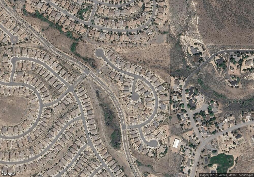
Map
Nearby Homes
- 1014 Herndon Trail
- 9225 Sassafras Trail
- 1170 Cliff Park Way
- 1124 Dutch Hollow Trail
- 270 Mogul Mountain Dr
- 0 Mountain Daisy Rd
- 0 Mountain Haven Ln
- 828 Larrimore Trail
- 1266 Firefly Ct
- 1380 Wakefield Trail
- 1335 Wakefield Trail
- 1405 Meridian Ranch Dr
- 80 Bobcat Dr
- 1395 Walking Stick Way
- 150 Mule Deer Dr
- 1591 Elk Run Trail
- 9380 Copper Mountain Cir
- 9052 Cabin Creek Trail
- 1590 Scott Valley Rd
- 9172 Mount Pleasant Dr
- 1077 Tazewell Trail
- 1089 Tazewell Trail
- 1095 Tazewell Trail
- 9117 Kenton Trail
- 1071 Tazewell Trail
- 1076 Tazewell Trail
- 9111 Kenton Trail
- 1070 Tazewell Trail
- 1065 Tazewell Trail
- 9105 Kenton Trail
- 1059 Tazewell Trail
- 9122 Kenton Trail
- 9159 Kenton Trail
- 1066 Tazewell Trail
- 9128 Kenton Trail
- 9116 Kenton Trail
- 9134 Kenton Trail
- 9110 Kentotn Trail
- 9110 Kenton Trail
- 9165 Kenton Trail