10832 White Sands Ct Peyton, CO 80831
Falcon NeighborhoodEstimated Value: $692,670 - $751,000
6
Beds
5
Baths
3,278
Sq Ft
$222/Sq Ft
Est. Value
About This Home
This home is located at 10832 White Sands Ct, Peyton, CO 80831 and is currently estimated at $728,668, approximately $222 per square foot. 10832 White Sands Ct is a home located in El Paso County with nearby schools including Meridian Ranch International School, Falcon Middle School, and Falcon High School.
Ownership History
Date
Name
Owned For
Owner Type
Purchase Details
Closed on
Mar 20, 2008
Sold by
Tousa Homes Inc
Bought by
Bartos Colin Nicholas and Bartos Maria J
Current Estimated Value
Home Financials for this Owner
Home Financials are based on the most recent Mortgage that was taken out on this home.
Original Mortgage
$326,467
Outstanding Balance
$203,165
Interest Rate
5.72%
Mortgage Type
Unknown
Estimated Equity
$525,503
Create a Home Valuation Report for This Property
The Home Valuation Report is an in-depth analysis detailing your home's value as well as a comparison with similar homes in the area
Home Values in the Area
Average Home Value in this Area
Purchase History
| Date | Buyer | Sale Price | Title Company |
|---|---|---|---|
| Bartos Colin Nicholas | $408,100 | None Available |
Source: Public Records
Mortgage History
| Date | Status | Borrower | Loan Amount |
|---|---|---|---|
| Open | Bartos Colin Nicholas | $326,467 |
Source: Public Records
Tax History Compared to Growth
Tax History
| Year | Tax Paid | Tax Assessment Tax Assessment Total Assessment is a certain percentage of the fair market value that is determined by local assessors to be the total taxable value of land and additions on the property. | Land | Improvement |
|---|---|---|---|---|
| 2025 | $4,846 | $51,290 | -- | -- |
| 2024 | $4,707 | $50,920 | $9,000 | $41,920 |
| 2022 | $3,689 | $36,550 | $7,390 | $29,160 |
| 2021 | $3,823 | $37,600 | $7,600 | $30,000 |
| 2020 | $3,678 | $33,540 | $6,890 | $26,650 |
| 2019 | $3,657 | $33,540 | $6,890 | $26,650 |
| 2018 | $3,259 | $29,580 | $6,300 | $23,280 |
| 2017 | $3,082 | $29,580 | $6,300 | $23,280 |
| 2016 | $2,893 | $28,430 | $6,970 | $21,460 |
| 2015 | $2,895 | $28,430 | $6,970 | $21,460 |
| 2014 | $2,739 | $26,570 | $5,970 | $20,600 |
Source: Public Records
Map
Nearby Homes
- 10677 Greenbelt Dr
- 10641 Greenbelt Dr
- 10603 Ross Lake Dr
- 10973 Torreys Peak Way
- 10932 Huron Peak Place
- 10489 Cedar Breaks Dr
- 10530 Pictured Rocks Dr
- 10467 Pictured Rocks Dr
- 10965 Long Summer Ct
- 10429 Cedar Breaks Dr
- 12238 Sleeping Bear Rd
- 10795 Indian Paint Trail
- 10433 Capital Peak Way
- 10402 Capital Peak Way
- 10335 Antler Creek Dr
- 12692 Clark Peak Ct
- 12708 Sunrise Ridge Dr
- 12252 Point Reyes Dr
- 12714 Sunrise Ridge Dr
- 10398 Mount Evans Dr
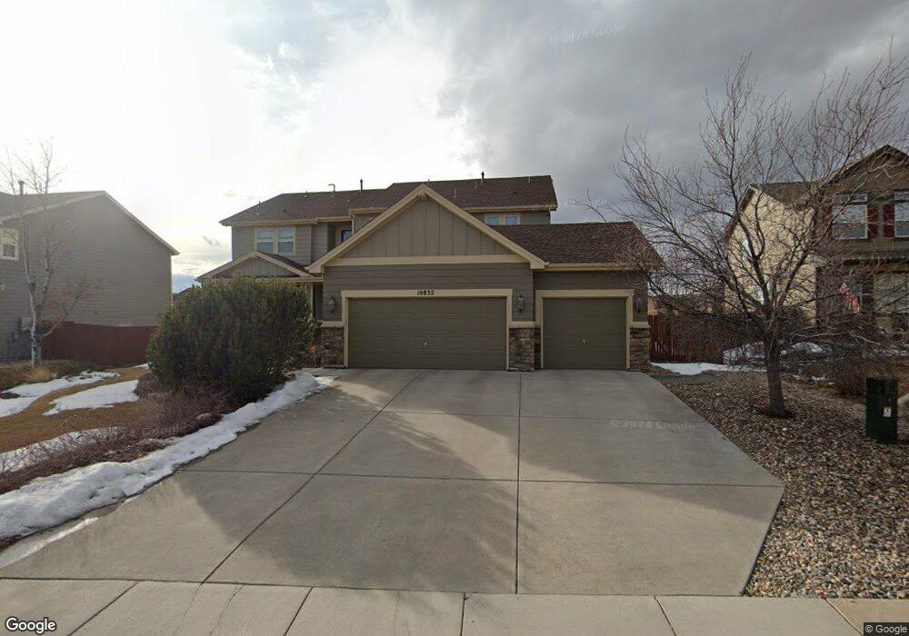
- 10852 White Sands Ct
- 10812 White Sands Ct
- 12745 Angelina Dr
- 12755 Angelina Dr
- 10833 White Sands Ct
- 10853 White Sands Ct
- 12744 Angelina Dr
- 10813 White Sands Ct
- 12734 Angelina Dr
- 10892 White Sands Ct
- 10873 White Sands Ct
- 12765 Angelina Dr
- 12724 Angelina Dr
- 10893 White Sands Ct
- 12714 Angelina Dr
- 12705 Angelina Dr
- 12775 Angelina Dr
- 10691 Ross Lake Dr
- 10683 Ross Lake Dr
- 12694 Angelina Dr