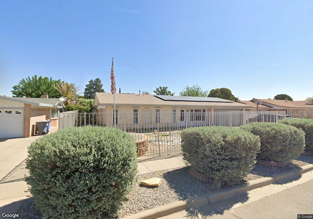
10834 Pico Norte Rd El Paso, TX 79935
Pico Norte NeighborhoodEstimated Value: $241,156 - $252,000
3
Beds
2
Baths
1,821
Sq Ft
$136/Sq Ft
Est. Value
About This Home
This home is located at 10834 Pico Norte Rd, El Paso, TX 79935 and is currently estimated at $247,539, approximately $135 per square foot. 10834 Pico Norte Rd is a home located in El Paso County with nearby schools including East Point Elementary School, Eastwood Middle School, and Eastwood High School.
Ownership History
Date
Name
Owned For
Owner Type
Purchase Details
Closed on
Jan 18, 2006
Sold by
Marquez Delia and Ellis George
Bought by
Marquez Delia
Current Estimated Value
Purchase Details
Closed on
Mar 25, 1999
Sold by
Mccrobie Ronald N and Mccrobie Sharon
Bought by
Zubia Joseph R and Zubia Edna H
Home Financials for this Owner
Home Financials are based on the most recent Mortgage that was taken out on this home.
Original Mortgage
$65,760
Interest Rate
6.69%
Create a Home Valuation Report for This Property
The Home Valuation Report is an in-depth analysis detailing your home's value as well as a comparison with similar homes in the area
Home Values in the Area
Average Home Value in this Area
Purchase History
| Date | Buyer | Sale Price | Title Company |
|---|---|---|---|
| Marquez Delia | -- | None Available | |
| Zubia Joseph R | -- | -- |
Source: Public Records
Mortgage History
| Date | Status | Borrower | Loan Amount |
|---|---|---|---|
| Closed | Zubia Joseph R | $65,760 |
Source: Public Records
Tax History Compared to Growth
Tax History
| Year | Tax Paid | Tax Assessment Tax Assessment Total Assessment is a certain percentage of the fair market value that is determined by local assessors to be the total taxable value of land and additions on the property. | Land | Improvement |
|---|---|---|---|---|
| 2025 | -- | $226,590 | -- | -- |
| 2024 | -- | $205,598 | -- | -- |
| 2023 | $5,440 | $186,907 | $0 | $0 |
| 2022 | $5,276 | $169,915 | $0 | $0 |
| 2021 | $5,021 | $154,468 | $25,155 | $129,313 |
| 2020 | $4,644 | $147,039 | $17,968 | $129,071 |
| 2018 | $4,535 | $145,842 | $17,968 | $127,874 |
| 2017 | $4,067 | $133,055 | $17,968 | $115,087 |
| 2016 | $4,067 | $133,055 | $17,968 | $115,087 |
| 2015 | $2,852 | $133,055 | $17,968 | $115,087 |
| 2014 | $2,852 | $133,523 | $17,968 | $115,555 |
Source: Public Records
Map
Nearby Homes
- 10712 Gay Brewer Dr
- 3112 Eads Place
- 10916 Miller Barber Dr
- 3101 Vogue Dr
- 2801 Brady Place
- 2701 Brady Place
- 10649 Islerock Dr
- 2313 Frank Beard Dr
- 2912 Chaswood St
- 10512 Album Ave
- 2224 Escarpa Dr
- 2325 Ken Venturi Ln
- 10605 Kinross Ave Unit B
- 3200 Voss Dr
- 2109 Febrero Dr
- 2820 Beachcomber Dr
- 2105 Pacheco Dr
- 3108 3108 Rock Wall Ln Tx Ln
- 3213 Isla Cocoa Ln
- 2412 Penwood Dr
- 10834 Pico Norte Rd
- 10838 Pico Norte Rd
- 10830 Pico Norte Rd
- 10704 Ira Way
- 10700 Ira Way
- 10708 Ira Way
- 10833 Pico Norte Rd
- 10826 Pico Norte Rd
- 10826 Pico Norte Rd Unit 1
- 10837 Pico Norte Rd
- 10829 Pico Norte Rd
- 2813 Hector Dr
- 10712 Ira Way
- 2809 Hector Dr
- 10825 Pico Norte Rd
- 2901 Hector Dr
- 10824 Pico Norte Rd
- 2800 Hector Dr
- 2805 Hector Dr
- 10701 Ira Way