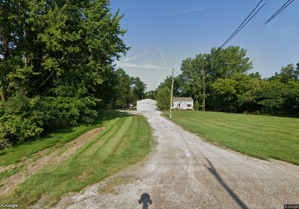
10836 E River Rd Columbia Station, OH 44028
Estimated Value: $266,000 - $444,000
3
Beds
2
Baths
2,256
Sq Ft
$161/Sq Ft
Est. Value
About This Home
This home is located at 10836 E River Rd, Columbia Station, OH 44028 and is currently estimated at $363,630, approximately $161 per square foot. 10836 E River Rd is a home located in Lorain County with nearby schools including Copopa Elementary School, Columbia Middle School, and Columbia High School.
Ownership History
Date
Name
Owned For
Owner Type
Purchase Details
Closed on
Jun 9, 2014
Sold by
Barlock J William T
Bought by
Palmer Christopher J
Current Estimated Value
Home Financials for this Owner
Home Financials are based on the most recent Mortgage that was taken out on this home.
Original Mortgage
$137,464
Outstanding Balance
$105,106
Interest Rate
4.34%
Mortgage Type
New Conventional
Estimated Equity
$258,524
Purchase Details
Closed on
Aug 4, 1998
Sold by
Smith Ronald E
Bought by
Vermilye Brian D and Vermilye Barbara J
Home Financials for this Owner
Home Financials are based on the most recent Mortgage that was taken out on this home.
Original Mortgage
$99,700
Interest Rate
7.03%
Create a Home Valuation Report for This Property
The Home Valuation Report is an in-depth analysis detailing your home's value as well as a comparison with similar homes in the area
Home Values in the Area
Average Home Value in this Area
Purchase History
| Date | Buyer | Sale Price | Title Company |
|---|---|---|---|
| Palmer Christopher J | $140,000 | -- | |
| Vermilye Brian D | $105,250 | Lorain County Title Co Inc |
Source: Public Records
Mortgage History
| Date | Status | Borrower | Loan Amount |
|---|---|---|---|
| Open | Palmer Christopher J | $137,464 | |
| Previous Owner | Vermilye Brian D | $99,700 |
Source: Public Records
Tax History Compared to Growth
Tax History
| Year | Tax Paid | Tax Assessment Tax Assessment Total Assessment is a certain percentage of the fair market value that is determined by local assessors to be the total taxable value of land and additions on the property. | Land | Improvement |
|---|---|---|---|---|
| 2024 | $4,589 | $106,425 | $25,869 | $80,556 |
| 2023 | $3,515 | $71,194 | $24,133 | $47,061 |
| 2022 | $3,429 | $71,194 | $24,133 | $47,061 |
| 2021 | $3,464 | $71,194 | $24,133 | $47,061 |
| 2020 | $3,348 | $61,750 | $20,930 | $40,820 |
| 2019 | $3,329 | $61,750 | $20,930 | $40,820 |
| 2018 | $3,359 | $61,750 | $20,930 | $40,820 |
| 2017 | $3,338 | $56,950 | $20,410 | $36,540 |
| 2016 | $3,363 | $56,950 | $20,410 | $36,540 |
| 2015 | $2,707 | $45,170 | $20,410 | $24,760 |
| 2014 | $2,780 | $45,170 | $20,410 | $24,760 |
| 2013 | $2,790 | $45,170 | $20,410 | $24,760 |
Source: Public Records
Map
Nearby Homes
- Lehigh Plan at Ashford Cove
- Anderson Plan at Ashford Cove
- Ballenger Plan at Ashford Cove
- Columbia Plan at Ashford Cove
- Hudson Plan at Ashford Cove
- 0 E River Rd Unit 5120285
- Belleville Plan at The Estates of Columbia Ridge
- Ash Lawn Plan at The Estates of Columbia Ridge
- Brennan Plan at The Estates of Columbia Ridge
- Lyndhurst Plan at The Estates of Columbia Ridge
- Alden Plan at The Estates of Columbia Ridge
- Vanderburgh Plan at The Estates of Columbia Ridge
- Buchanan Plan at The Estates of Columbia Ridge
- 24848 River Glen Dr
- 12584 Caribou Ct
- 31525 Blooming Ln
- 24980 Copopa Trail
- 9749 E River Rd N
- 24835 W Northwood Dr
- 24628 Sprague Rd
- 10808 East River Rd
- 10786 East River Rd
- 10756 E River Rd
- 10732 E River Rd
- 10960 E River Rd
- 10706 East River Rd
- 11036 E River Rd
- 0 1012ashford Ct Unit 36142120
- 0 E River Rd Unit 3924177
- 0 E River Rd Unit 4468804
- 0 E River Rd Unit 4219396
- 10668 E River Rd
- 10604 E River Rd
- 10598 E River Rd
- 11121 East River Rd
- 1046 Ashford Ct
- 1030 Ashford Ct
- 1046 Ashford Ct
- 11132 E River Rd
- 1012 Ashford Ct Unit 12567059296185469056