10838 Amenda Rd Mazomanie, WI 53560
Estimated Value: $727,000 - $797,885
2
Beds
3
Baths
--
Sq Ft
19.44
Acres
About This Home
This home is located at 10838 Amenda Rd, Mazomanie, WI 53560 and is currently estimated at $757,721. 10838 Amenda Rd is a home located in Dane County with nearby schools including Wisconsin Heights Elementary School, Mazomanie Elementary School, and Wisconsin Heights Middle School.
Ownership History
Date
Name
Owned For
Owner Type
Purchase Details
Closed on
Oct 15, 2021
Sold by
Nicolet Patrice L
Bought by
Lathrop Patrick
Current Estimated Value
Purchase Details
Closed on
Mar 15, 2005
Sold by
Schwenzfeler Paul A and Schwenzfeler Carla J
Bought by
Nicolet Patrice L
Home Financials for this Owner
Home Financials are based on the most recent Mortgage that was taken out on this home.
Original Mortgage
$196,000
Outstanding Balance
$99,564
Interest Rate
5.64%
Mortgage Type
New Conventional
Estimated Equity
$658,157
Create a Home Valuation Report for This Property
The Home Valuation Report is an in-depth analysis detailing your home's value as well as a comparison with similar homes in the area
Home Values in the Area
Average Home Value in this Area
Purchase History
| Date | Buyer | Sale Price | Title Company |
|---|---|---|---|
| Lathrop Patrick | $500,000 | None Available | |
| Nicolet Patrice L | $350,000 | None Available |
Source: Public Records
Mortgage History
| Date | Status | Borrower | Loan Amount |
|---|---|---|---|
| Open | Nicolet Patrice L | $196,000 |
Source: Public Records
Tax History Compared to Growth
Tax History
| Year | Tax Paid | Tax Assessment Tax Assessment Total Assessment is a certain percentage of the fair market value that is determined by local assessors to be the total taxable value of land and additions on the property. | Land | Improvement |
|---|---|---|---|---|
| 2024 | $7,426 | $584,600 | $225,100 | $359,500 |
| 2023 | $7,435 | $584,600 | $225,100 | $359,500 |
| 2021 | $6,913 | $385,200 | $175,100 | $210,100 |
| 2020 | $6,864 | $385,200 | $175,100 | $210,100 |
| 2019 | $6,106 | $385,200 | $175,100 | $210,100 |
| 2018 | $6,051 | $385,200 | $175,100 | $210,100 |
| 2017 | $6,211 | $385,200 | $175,100 | $210,100 |
| 2016 | $6,346 | $385,200 | $175,100 | $210,100 |
| 2015 | $6,272 | $385,200 | $175,100 | $210,100 |
| 2014 | $6,068 | $385,200 | $175,100 | $210,100 |
| 2013 | $5,647 | $385,200 | $175,100 | $210,100 |
Source: Public Records
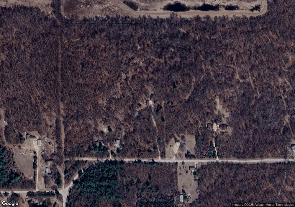
Map
Nearby Homes
- 409 Bridge St
- 107-109 E North St
- Lot 18 Ridge Run
- 410 University Ln
- Lot 2 Csm 12049 Highway 14
- 607 Ridge Dr
- 605 Ridge Dr
- 505 Emily Rd
- 429 Emily Rd
- 603 Ridge Dr
- 501 Emily Rd
- 507 Prairie Ln
- 601 Ridge Dr
- 503 Ridge Dr
- 603 Prairie Ln
- 508 Prairie Ln
- 714 Lichte Dr
- 708 Reeve Rd
- 710 Reeve Rd
- Lot 19 Prairie Ln