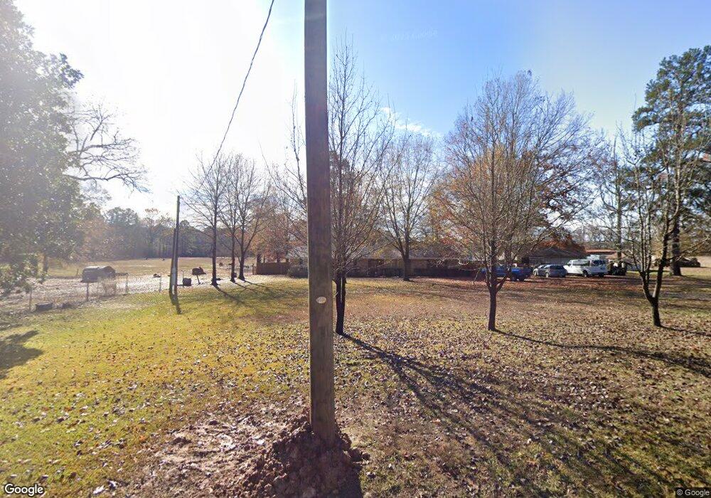
1084 Gun Club Rd Texarkana, TX 75501
Estimated Value: $189,000 - $453,320
--
Bed
--
Bath
1,308
Sq Ft
$250/Sq Ft
Est. Value
About This Home
This home is located at 1084 Gun Club Rd, Texarkana, TX 75501 and is currently estimated at $326,580, approximately $249 per square foot. 1084 Gun Club Rd is a home located in Bowie County with nearby schools including Liberty-Eylau Early Childhood Center, Liberty-Eylau Primary School, and Liberty-Eylau C.K. Bender Elementary Campus.
Ownership History
Date
Name
Owned For
Owner Type
Purchase Details
Closed on
Aug 9, 2013
Sold by
Askew Kenneth W and Askew Jo Ann
Bought by
Eckert Travis and Eckert Erin
Current Estimated Value
Home Financials for this Owner
Home Financials are based on the most recent Mortgage that was taken out on this home.
Original Mortgage
$222,500
Outstanding Balance
$111,499
Interest Rate
4.53%
Mortgage Type
Purchase Money Mortgage
Estimated Equity
$215,081
Create a Home Valuation Report for This Property
The Home Valuation Report is an in-depth analysis detailing your home's value as well as a comparison with similar homes in the area
Home Values in the Area
Average Home Value in this Area
Purchase History
| Date | Buyer | Sale Price | Title Company |
|---|---|---|---|
| Eckert Travis | $222,500 | Stewart Title Of Texarkana |
Source: Public Records
Mortgage History
| Date | Status | Borrower | Loan Amount |
|---|---|---|---|
| Open | Eckert Travis | $222,500 |
Source: Public Records
Tax History Compared to Growth
Tax History
| Year | Tax Paid | Tax Assessment Tax Assessment Total Assessment is a certain percentage of the fair market value that is determined by local assessors to be the total taxable value of land and additions on the property. | Land | Improvement |
|---|---|---|---|---|
| 2025 | $1,052 | $152,796 | $12,000 | $140,796 |
| 2024 | $1,052 | $143,043 | $0 | $0 |
| 2023 | $1,943 | $130,039 | $0 | $0 |
| 2022 | $2,037 | $127,809 | $11,000 | $116,809 |
| 2021 | $1,969 | $107,470 | $10,500 | $96,970 |
| 2020 | $1,913 | $103,627 | $10,500 | $93,127 |
| 2019 | $1,942 | $99,968 | $10,500 | $89,468 |
| 2018 | $1,887 | $97,161 | $10,500 | $86,661 |
| 2017 | $1,853 | $95,781 | $10,500 | $85,281 |
| 2016 | $1,883 | $97,318 | $10,000 | $87,318 |
| 2015 | $1,473 | $96,621 | $10,000 | $86,621 |
| 2014 | $1,473 | $93,931 | $10,000 | $83,931 |
Source: Public Records
Map
Nearby Homes
- 860 Gun Club Rd
- 4 Dan Michael Dr
- 0 Sherwood Acres Ln
- 80 W G Sorsby Rd Unit W
- 6606 Us Highway 59 S
- 6606 Us-59
- TBD Courtney Way
- 6815 Buchanan Loop Rd
- 39 Quail Brook Dr
- 5789 U S 59
- 24 Heritage Blvd
- 66 Orr Dr
- 119 Cohen Cir
- 7685 State Highway 59
- 280 Patriot Way
- 7689 Us-59
- 264 Southern Lake Rd
- 253 Southern Lake Rd
- 6514 Buchanan Loop Rd
- 384 Lake Breeze Dr
- 1050 Gun Club Rd
- 1247 Gun Club Rd
- 244 Demarce Ln
- 184 Hines Ln
- 777 Gun Club Rd
- 1598 Gun Club Rd
- 1520 Gun Club Rd
- 196 Hines Ln
- 1737 Gun Club Rd
- 1835 Gun Club Rd
- 1846 Gun Club Rd
- 1867 Gun Club Rd
- 1460 Presley Rd
- 1460 Presley Rd
- 1960 Gun Club Rd
- 1792 Presley Rd
- 3244 Presley Rd
- 3070 Presley Rd
- S Kings Hwy Hwy
- 2037 Gun Club Rd