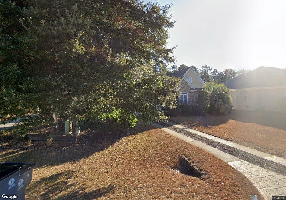
1084 Sea Bourne Way Sunset Beach, NC 28468
Estimated Value: $552,818 - $642,000
3
Beds
2
Baths
2,360
Sq Ft
$251/Sq Ft
Est. Value
About This Home
This home is located at 1084 Sea Bourne Way, Sunset Beach, NC 28468 and is currently estimated at $592,955, approximately $251 per square foot. 1084 Sea Bourne Way is a home located in Brunswick County with nearby schools including Jessie Mae Monroe Elementary School, Shallotte Middle School, and West Brunswick High School.
Ownership History
Date
Name
Owned For
Owner Type
Purchase Details
Closed on
Oct 18, 2005
Sold by
Yabrough And Company Builders Inc
Bought by
Kuntz Thomas P and Eldred Donna M
Current Estimated Value
Home Financials for this Owner
Home Financials are based on the most recent Mortgage that was taken out on this home.
Original Mortgage
$296,175
Outstanding Balance
$157,526
Interest Rate
5.66%
Mortgage Type
New Conventional
Estimated Equity
$435,429
Create a Home Valuation Report for This Property
The Home Valuation Report is an in-depth analysis detailing your home's value as well as a comparison with similar homes in the area
Home Values in the Area
Average Home Value in this Area
Purchase History
| Date | Buyer | Sale Price | Title Company |
|---|---|---|---|
| Kuntz Thomas P | $395,000 | None Available |
Source: Public Records
Mortgage History
| Date | Status | Borrower | Loan Amount |
|---|---|---|---|
| Open | Kuntz Thomas P | $296,175 |
Source: Public Records
Tax History Compared to Growth
Tax History
| Year | Tax Paid | Tax Assessment Tax Assessment Total Assessment is a certain percentage of the fair market value that is determined by local assessors to be the total taxable value of land and additions on the property. | Land | Improvement |
|---|---|---|---|---|
| 2025 | $2,795 | $477,050 | $45,000 | $432,050 |
| 2024 | $2,795 | $477,050 | $45,000 | $432,050 |
| 2023 | $2,466 | $477,050 | $45,000 | $432,050 |
| 2022 | $2,466 | $320,430 | $25,000 | $295,430 |
| 2021 | $2,466 | $320,430 | $25,000 | $295,430 |
| 2020 | $2,466 | $320,430 | $25,000 | $295,430 |
| 2019 | $2,466 | $48,580 | $25,000 | $23,580 |
| 2018 | $2,379 | $51,810 | $25,000 | $26,810 |
| 2017 | $2,298 | $51,810 | $25,000 | $26,810 |
| 2016 | $2,248 | $51,810 | $25,000 | $26,810 |
| 2015 | $2,248 | $317,580 | $25,000 | $292,580 |
| 2014 | $2,209 | $366,878 | $95,000 | $271,878 |
Source: Public Records
Map
Nearby Homes
- 1100 Sea Bourne Way
- 1068 Sea Bourne Way
- 8317 Dunes Ridge Place
- 8238 Old Georgetown Rd SW
- L-42 Brookwood Park
- 205 Brookwood Park Ct
- 602 Bermuda Walk
- 272 Crooked Gulley Cir
- 602 Planters Ridge Dr
- 725 Bermuda Walk
- 305 Planters Ridge SW
- 305 Planter's Ridge Dr
- 205 Jones Byrd Ct
- 202 Jones Byrd Ct
- 301 Planter's Ridge Dr
- 320 Crooked Gulley Cir
- 135 Forest Walk SW
- 141 Avian Dr Unit 3818
- 140 Avian Dr Unit 3709
- 1312 Piper Glen Ln Unit Lot 54
- 1080 Sea Bourne Way
- 1088 Sea Bourne Way
- 1076 Sea Bourne Way
- 1092 Sea Bourne Way
- 1085 Sea Bourne Way
- 1072 Sea Bourne Way
- 1075 Sea Bourne Way
- 1096 Sea Bourne Way
- 1068 Cape Side Wynd
- 1069 Sirwood Place SW
- 1068 Sea Bourne Way Unit Lot 66 - Madison D
- 1089 Sea Bourne Way
- 1064 Cape Side Wynd Unit Lot 76- Cumberland G
- 1064 Cape Side Wynd Unit Lot 76 - Cumberland
- 1064 Cape Side Wynd
- 1093 Sea Bourne Way
- 1093 Sea Bourne Way Unit Lot 9 S-1 Cape Side
- 1069 Cape Side Wynd
- 1065 Sirwood Place SW
- 1067 Cape Side Wynd