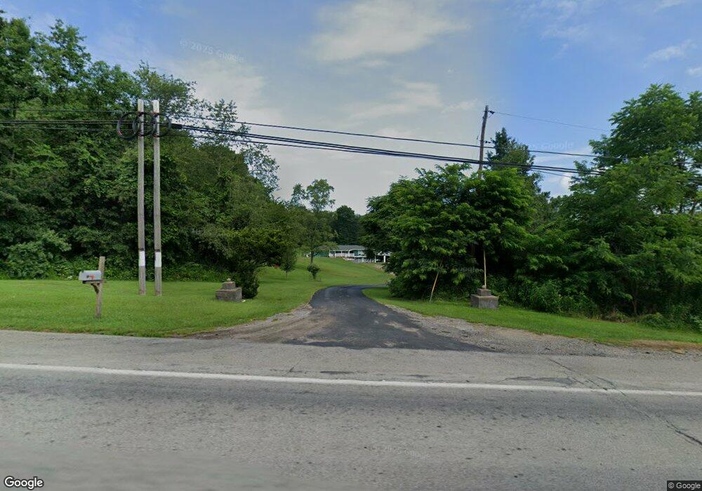
1084 State Route 56 E Apollo, PA 15613
Kiskiminetas Township NeighborhoodEstimated Value: $188,000 - $292,568
3
Beds
3
Baths
1,736
Sq Ft
$139/Sq Ft
Est. Value
About This Home
This home is located at 1084 State Route 56 E, Apollo, PA 15613 and is currently estimated at $242,142, approximately $139 per square foot. 1084 State Route 56 E is a home located in Armstrong County with nearby schools including Apollo-Ridge Elementary School, Apollo-Ridge Middle School, and Apollo-Ridge High School.
Ownership History
Date
Name
Owned For
Owner Type
Purchase Details
Closed on
Jan 30, 2024
Sold by
Peace Steven A and Peace Michelle
Bought by
Peace Steven A and Peace Michelle
Current Estimated Value
Purchase Details
Closed on
Jan 29, 2024
Sold by
Peace Steven A and Peace Michelle
Bought by
Peace Steven A and Peace Michelle
Purchase Details
Closed on
Dec 19, 2017
Sold by
Adams Shirley E and Adams Joan D
Bought by
Peace Steven A
Home Financials for this Owner
Home Financials are based on the most recent Mortgage that was taken out on this home.
Original Mortgage
$74,000
Interest Rate
3.94%
Mortgage Type
Purchase Money Mortgage
Purchase Details
Closed on
Nov 25, 2009
Sold by
Adams Joan D
Bought by
Adams Shirley E
Create a Home Valuation Report for This Property
The Home Valuation Report is an in-depth analysis detailing your home's value as well as a comparison with similar homes in the area
Home Values in the Area
Average Home Value in this Area
Purchase History
| Date | Buyer | Sale Price | Title Company |
|---|---|---|---|
| Peace Steven A | -- | None Listed On Document | |
| Peace Steven A | -- | None Listed On Document | |
| Peace Steven A | $102,000 | None Available | |
| Adams Shirley E | -- | None Available |
Source: Public Records
Mortgage History
| Date | Status | Borrower | Loan Amount |
|---|---|---|---|
| Previous Owner | Peace Steven A | $74,000 |
Source: Public Records
Tax History Compared to Growth
Tax History
| Year | Tax Paid | Tax Assessment Tax Assessment Total Assessment is a certain percentage of the fair market value that is determined by local assessors to be the total taxable value of land and additions on the property. | Land | Improvement |
|---|---|---|---|---|
| 2025 | $4,738 | $49,500 | $27,900 | $21,600 |
| 2024 | $4,401 | $49,500 | $27,900 | $21,600 |
| 2023 | $3,524 | $49,500 | $27,900 | $21,600 |
| 2022 | $3,484 | $49,500 | $27,900 | $21,600 |
| 2021 | $3,424 | $49,500 | $27,900 | $21,600 |
| 2020 | $1,538 | $18,760 | $12,530 | $6,230 |
| 2019 | $1,529 | $18,760 | $12,530 | $6,230 |
| 2018 | $1,529 | $17,905 | $9,005 | $8,900 |
| 2017 | $1,520 | $18,760 | $12,530 | $6,230 |
| 2016 | $1,520 | $18,760 | $12,530 | $6,230 |
| 2015 | $3,069 | $49,500 | $27,900 | $21,600 |
| 2014 | $3,069 | $49,500 | $27,900 | $21,600 |
Source: Public Records
Map
Nearby Homes
- 1239 Old State Rd
- 604 Patterson Rd
- 957 Cherry Lane Rd
- 712 16th St
- 1805 Moore Ave
- 2106 River Rd
- 1212 Gravel Bar Rd
- 129 Franklin Ave
- 726 N 4th St
- 225 Mckinley Ave
- 247 Sherman Ave
- 219 Quay St
- 1116 Grant St
- 625 Rose St Unit 276
- 402.5 N 10th St
- 121 Hamilton Ave
- 404 N 10th St
- 325 -1/2 Quay St
- 212 Terrace Ave
- 154 Jefferson Ave Unit 6
- 1313 Old State Rd
- 1305 Old State Rd
- 1106 State Route 56 E
- 1299 Old State Rd
- 1106 Rte 56 E
- 1326 Old State Rd
- 1310 Old State Rd
- 1304 Old State Rd
- 173 Kings Rd
- 803 Edmon Rd
- 1693 W 1603 State Route
- 1273 Old State Rd
- 1342 Sugar Hollow Rd
- 1342 Sugar Hollow Rd
- 1043 Pennsylvania 56
- 1114 State Route 56 E
- 1114 State Route 56 E
- 185 Kings Rd
- 807 Edmon Rd
- 1314 Sugar Hollow Rd