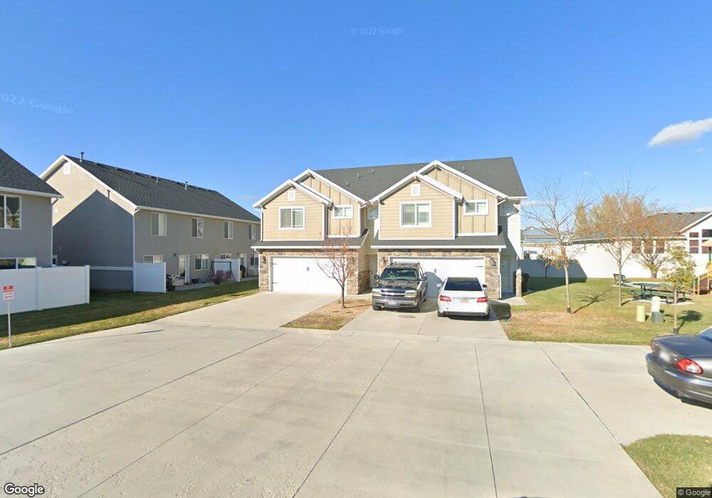
1084 W 2050 S Unit 18 Syracuse, UT 84075
Estimated Value: $395,000 - $416,000
3
Beds
3
Baths
1,469
Sq Ft
$276/Sq Ft
Est. Value
About This Home
This home is located at 1084 W 2050 S Unit 18, Syracuse, UT 84075 and is currently estimated at $405,572, approximately $276 per square foot. 1084 W 2050 S Unit 18 is a home located in Davis County with nearby schools including Bluff Ridge Elementary, Legacy Junior High School, and Clearfield High School.
Ownership History
Date
Name
Owned For
Owner Type
Purchase Details
Closed on
Sep 22, 2017
Sold by
Shea Robyn
Bought by
Shea Robyn M
Current Estimated Value
Purchase Details
Closed on
Aug 24, 2016
Sold by
Shea Robyn
Bought by
Thompson Austin and Thompson Klary
Purchase Details
Closed on
Oct 30, 2014
Sold by
Castle Creek Homes Llc
Bought by
Thompson Austin and Thompson Klary
Home Financials for this Owner
Home Financials are based on the most recent Mortgage that was taken out on this home.
Original Mortgage
$166,822
Interest Rate
3.75%
Mortgage Type
FHA
Create a Home Valuation Report for This Property
The Home Valuation Report is an in-depth analysis detailing your home's value as well as a comparison with similar homes in the area
Home Values in the Area
Average Home Value in this Area
Purchase History
| Date | Buyer | Sale Price | Title Company |
|---|---|---|---|
| Shea Robyn M | -- | -- | |
| Thompson Austin | -- | Security Title | |
| Thompson Austin | -- | Mountain View Titl |
Source: Public Records
Mortgage History
| Date | Status | Borrower | Loan Amount |
|---|---|---|---|
| Previous Owner | Thompson Austin | $166,822 |
Source: Public Records
Tax History Compared to Growth
Tax History
| Year | Tax Paid | Tax Assessment Tax Assessment Total Assessment is a certain percentage of the fair market value that is determined by local assessors to be the total taxable value of land and additions on the property. | Land | Improvement |
|---|---|---|---|---|
| 2025 | $2,092 | $201,850 | $76,450 | $125,400 |
| 2024 | $2,016 | $195,800 | $60,500 | $135,300 |
| 2023 | $2,074 | $201,850 | $62,150 | $139,700 |
| 2022 | $2,131 | $376,000 | $96,000 | $280,000 |
| 2021 | $1,811 | $272,000 | $79,000 | $193,000 |
| 2020 | $1,650 | $240,000 | $74,700 | $165,300 |
| 2019 | $1,609 | $231,000 | $75,000 | $156,000 |
| 2018 | $1,453 | $207,000 | $85,000 | $122,000 |
| 2016 | $1,267 | $94,655 | $19,250 | $75,405 |
| 2015 | $1,228 | $87,395 | $19,250 | $68,145 |
| 2014 | $460 | $33,333 | $33,333 | $0 |
| 2013 | -- | $32,500 | $32,500 | $0 |
Source: Public Records
Map
Nearby Homes
- 1084 W 2050 S
- 1082 W 2050 S Unit 17
- 1102 W 2050 S Unit 20
- 1098 W 2050 S Unit 21
- 1098 W 2050 S
- 1096 W 2050 S
- 1094 W 2050 S
- 1076 W 2050 S Unit 15
- 1097 W 2000 S
- 1113 W 2000 S Unit 315
- 1074 W 2050 S
- 1092 W 2050 S
- 1072 W 2050 S
- 1079 W 2000 S Unit 313
- 1079 W 2000 S
- 1054 W 2050 S
- 1052 W 2050 S
- 1056 W 2050 S Unit 9
- 1056 W 2050 S
- 1058 W 2050 S