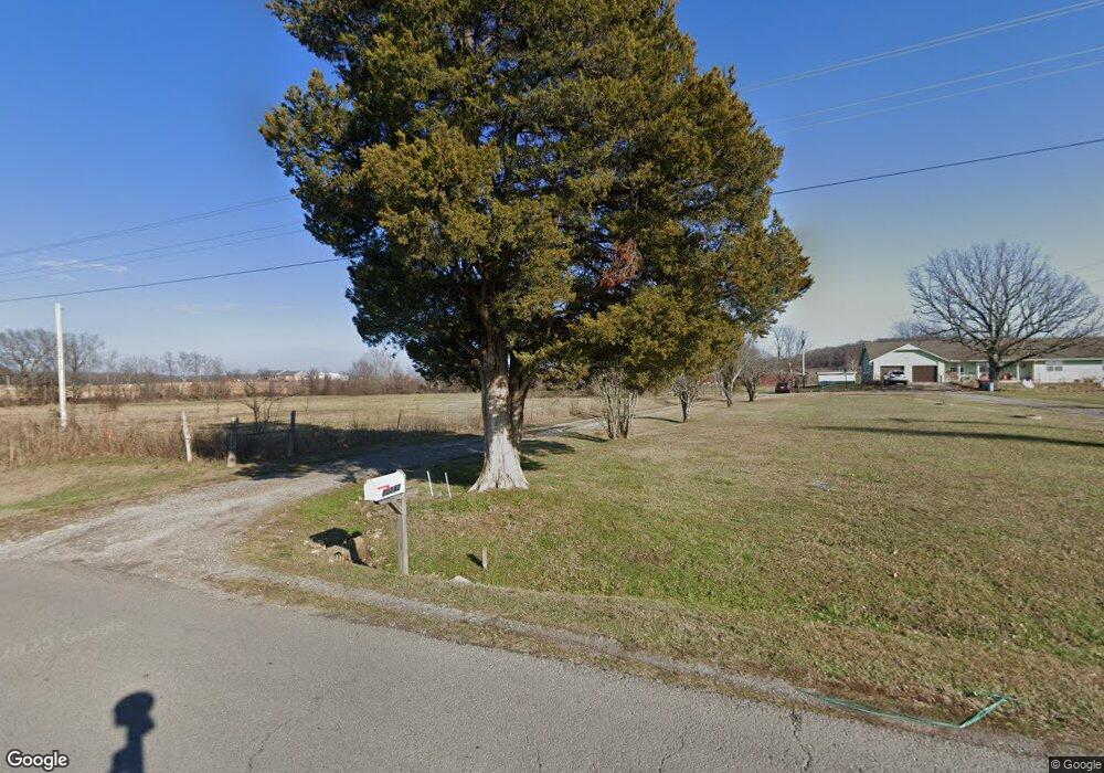
10842 Hwy 82 A Tahlequah, OK 74464
Estimated Value: $159,000 - $391,000
3
Beds
2
Baths
2,468
Sq Ft
$117/Sq Ft
Est. Value
About This Home
This home is located at 10842 Hwy 82 A, Tahlequah, OK 74464 and is currently estimated at $287,936, approximately $116 per square foot. 10842 Hwy 82 A is a home located in Cherokee County with nearby schools including Lowrey School.
Ownership History
Date
Name
Owned For
Owner Type
Purchase Details
Closed on
Jul 30, 2003
Sold by
Farris John J and Farris Brenda L
Bought by
Valerie L Farris
Current Estimated Value
Purchase Details
Closed on
Jun 11, 1996
Sold by
Joe D Moore
Bought by
Farris John J and Farris Brenda L
Purchase Details
Closed on
Apr 26, 1994
Sold by
Troy and Lillie Manes
Bought by
Joe D Moore
Create a Home Valuation Report for This Property
The Home Valuation Report is an in-depth analysis detailing your home's value as well as a comparison with similar homes in the area
Home Values in the Area
Average Home Value in this Area
Purchase History
| Date | Buyer | Sale Price | Title Company |
|---|---|---|---|
| Valerie L Farris | $101,500 | -- | |
| Farris John J | $180,000 | -- | |
| Joe D Moore | $145,000 | -- |
Source: Public Records
Tax History Compared to Growth
Tax History
| Year | Tax Paid | Tax Assessment Tax Assessment Total Assessment is a certain percentage of the fair market value that is determined by local assessors to be the total taxable value of land and additions on the property. | Land | Improvement |
|---|---|---|---|---|
| 2025 | $1,316 | $18,583 | $1,390 | $17,193 |
| 2024 | $1,316 | $18,042 | $1,349 | $16,693 |
| 2023 | $1,316 | $17,516 | $1,100 | $16,416 |
| 2022 | $1,542 | $20,668 | $2,152 | $18,516 |
| 2021 | $1,489 | $20,066 | $2,089 | $17,977 |
| 2020 | $1,322 | $19,482 | $2,028 | $17,454 |
| 2019 | $1,428 | $18,914 | $1,969 | $16,945 |
| 2018 | $1,391 | $18,364 | $1,912 | $16,452 |
| 2017 | $1,363 | $17,828 | $1,039 | $16,789 |
| 2016 | $1,325 | $17,310 | $2,157 | $15,153 |
| 2015 | $1,103 | $16,805 | $1,100 | $15,705 |
| 2014 | $1,103 | $16,866 | $1,100 | $15,766 |
Source: Public Records
Map
Nearby Homes
- 11457 N 510 Rd
- 17844 E 688 Rd
- 18079 E 680 Rd
- 12562 N Webster Rd
- 11077 N Elm Grove Rd
- 13552 State Highway 82
- 8195 Highway 82a
- 20819 E Steely Hollow Rd
- TBD Blk 1 Lot 11 E Steely Hollow Rd
- TBD Blk 1 Lot 4 E Steely Hollow Rd
- TBD BLK 1 Lot 10 E Steely Hollow Rd
- TBD BLK 1 Lot 9 E Steely Hollow Rd
- TBD Blk 1 Lot 1 E Steely Hollow Rd
- TBD BLK 1 Lot 2 E Steely Hollow Rd
- TBD Blk 1 Lot 6 E Steely Hollow Rd
- TBD Blk 1 Lot 8 E Steely Hollow Rd
- TBD Blk 1 Lot 5 E Steely Hollow Rd
- 13725 N 527 Rd
- 17099 E Clover Cir
- 21088 E Steely Hollow Rd
- 10842 Highway 82a
- 19023 E 690 Rd
- 10745 Highway 82a
- 11049 Highway 82a
- 10625 Highway 82a
- 19223 E 690 Rd
- 11004 Highway 82a
- 18756 E 690 Rd
- 18769 E 690 Rd
- 10542 Hwy 82 A
- 10542 Hwy 82 A
- 10542 Highway 82a
- 11311 Highway 82a
- 19244 E 690 Rd
- 18611 E 690 Rd
- 19495 E 690 Rd
- 18600 E 690 Rd
- 18504 E 690 Rd
- 18589 E 690 Rd
- 12060 N Webster Rd