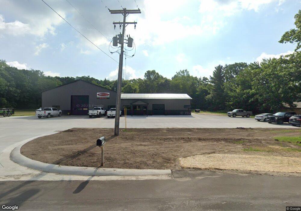
10842 Northland Dr Big Rapids, MI 49307
Estimated Value: $243,933
--
Bed
--
Bath
3,160
Sq Ft
$77/Sq Ft
Est. Value
About This Home
This home is located at 10842 Northland Dr, Big Rapids, MI 49307 and is currently estimated at $243,933, approximately $77 per square foot. 10842 Northland Dr is a home located in Mecosta County with nearby schools including Big Rapids High School, Crossroads Charter Academy Elementary School, and Crossroads Charter Academy Middle/High School.
Ownership History
Date
Name
Owned For
Owner Type
Purchase Details
Closed on
Mar 20, 2017
Sold by
Smith Priscilla
Bought by
Wells Kim and Wells Kevin
Current Estimated Value
Home Financials for this Owner
Home Financials are based on the most recent Mortgage that was taken out on this home.
Original Mortgage
$115,000
Outstanding Balance
$95,311
Interest Rate
4.15%
Mortgage Type
Future Advance Clause Open End Mortgage
Estimated Equity
$148,622
Purchase Details
Closed on
May 5, 2007
Sold by
First National Acceptance Co
Bought by
Smith Priscilla
Create a Home Valuation Report for This Property
The Home Valuation Report is an in-depth analysis detailing your home's value as well as a comparison with similar homes in the area
Home Values in the Area
Average Home Value in this Area
Purchase History
| Date | Buyer | Sale Price | Title Company |
|---|---|---|---|
| Wells Kim | $115,000 | Corporate Settlement Solutio | |
| Smith Priscilla | $110,000 | None Available |
Source: Public Records
Mortgage History
| Date | Status | Borrower | Loan Amount |
|---|---|---|---|
| Open | Wells Kim | $115,000 |
Source: Public Records
Tax History Compared to Growth
Tax History
| Year | Tax Paid | Tax Assessment Tax Assessment Total Assessment is a certain percentage of the fair market value that is determined by local assessors to be the total taxable value of land and additions on the property. | Land | Improvement |
|---|---|---|---|---|
| 2025 | $6,087 | $158,000 | $0 | $0 |
| 2024 | -- | $146,200 | $0 | $0 |
| 2023 | -- | $159,600 | $0 | $0 |
| 2022 | $0 | $89,100 | $0 | $0 |
| 2021 | -- | $49,700 | $0 | $0 |
| 2020 | -- | -- | $0 | $0 |
| 2019 | -- | -- | $0 | $0 |
| 2018 | -- | -- | $0 | $0 |
| 2017 | -- | -- | $0 | $0 |
| 2016 | -- | -- | $0 | $0 |
| 2014 | -- | -- | $0 | $0 |
| 2013 | -- | -- | $0 | $0 |
Source: Public Records
Map
Nearby Homes
- 18415 12 Mile Rd
- 19665 13 Mile Rd
- 18685 Kreig Dr
- 11621 Riverside Dr
- 18642 Garfield Rd
- 13421 Woodland Ct
- 18570 Garfield Rd
- 20916 12 Mile Rd
- 0 006 007 185th
- 11225 Birchpark Dr
- 18480 1st St
- 12260 183rd Ave
- 20122 Hayes Rd
- 19400 14 Mile Rd
- 13420 Symonds Dr
- 14168 Trillium Ln
- 20535 Edgewood Dr
- 20425 Thornapple Ln
- 19223 Fox Glove Cir
- Lot 15 Executive Dr
- 11050 Northland Dr
- 10580 Northland Dr
- 10570 Northland Dr
- 10648 Northland Dr
- 10756 Northland Dr
- 11030 Northland Dr
- 10580 Northland Dr Unit 12
- 19900 12 Mile Rd
- 19775 12 Mile Rd
- 19755 12 Mile Rd
- 19853 12 Mile Rd
- 11344 Northland Dr
- 11240 Northland Dr
- 19905 12 Mile Rd
- 10841 Northland Dr
- 10861 Northland Dr
- 10725 Northland Dr
- 10755 Northland Dr
- 10765 Northland Dr
- 19669 12 Mile Rd