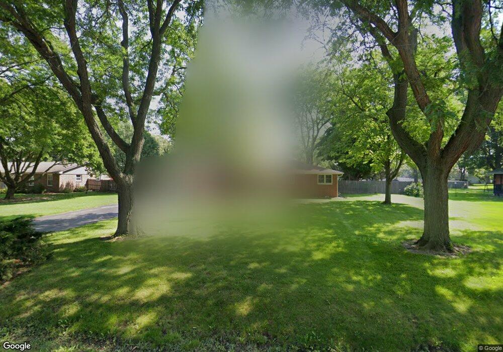
10843 41st Ave Pleasant Prairie, WI 53158
Village of Pleasant Prairie NeighborhoodEstimated Value: $413,000 - $514,000
3
Beds
2
Baths
1,691
Sq Ft
$269/Sq Ft
Est. Value
About This Home
This home is located at 10843 41st Ave, Pleasant Prairie, WI 53158 and is currently estimated at $454,927, approximately $269 per square foot. 10843 41st Ave is a home located in Kenosha County with nearby schools including Prairie Lane Elementary School, Lance Middle School, and Tremper High School.
Ownership History
Date
Name
Owned For
Owner Type
Purchase Details
Closed on
May 13, 2005
Sold by
Haubrich Howard O
Bought by
Thomas Richard H and Thomas Judy L
Current Estimated Value
Home Financials for this Owner
Home Financials are based on the most recent Mortgage that was taken out on this home.
Original Mortgage
$214,300
Outstanding Balance
$111,594
Interest Rate
5.82%
Mortgage Type
New Conventional
Estimated Equity
$343,333
Purchase Details
Closed on
Apr 20, 2005
Sold by
Hall David M and Hall Kellie R
Bought by
Haubrich Howard O
Home Financials for this Owner
Home Financials are based on the most recent Mortgage that was taken out on this home.
Original Mortgage
$214,300
Outstanding Balance
$111,594
Interest Rate
5.82%
Mortgage Type
New Conventional
Estimated Equity
$343,333
Create a Home Valuation Report for This Property
The Home Valuation Report is an in-depth analysis detailing your home's value as well as a comparison with similar homes in the area
Home Values in the Area
Average Home Value in this Area
Purchase History
| Date | Buyer | Sale Price | Title Company |
|---|---|---|---|
| Thomas Richard H | $267,900 | Lakeside Title & Closing Ser | |
| Haubrich Howard O | $251,500 | Lakeside Title & Closing Ser |
Source: Public Records
Mortgage History
| Date | Status | Borrower | Loan Amount |
|---|---|---|---|
| Open | Thomas Richard H | $214,300 | |
| Previous Owner | Haubrich Howard O | $251,450 |
Source: Public Records
Tax History Compared to Growth
Tax History
| Year | Tax Paid | Tax Assessment Tax Assessment Total Assessment is a certain percentage of the fair market value that is determined by local assessors to be the total taxable value of land and additions on the property. | Land | Improvement |
|---|---|---|---|---|
| 2024 | $4,387 | $387,100 | $113,600 | $273,500 |
| 2023 | $4,467 | $344,400 | $104,200 | $240,200 |
| 2022 | $4,551 | $344,400 | $104,200 | $240,200 |
| 2021 | $4,984 | $268,000 | $86,400 | $181,600 |
| 2020 | $4,984 | $268,000 | $86,400 | $181,600 |
| 2019 | $4,567 | $268,000 | $86,400 | $181,600 |
| 2018 | $5,273 | $268,000 | $86,400 | $181,600 |
| 2017 | $4,255 | $222,700 | $78,600 | $144,100 |
| 2016 | $4,745 | $222,700 | $78,600 | $144,100 |
| 2015 | $4,263 | $214,000 | $74,700 | $139,300 |
| 2014 | $4,413 | $214,000 | $74,700 | $139,300 |
Source: Public Records
Map
Nearby Homes
- 10838 39th Ave
- Ashford Plan at Cedar Ridge
- Weston Plan at Cedar Ridge
- Geneva Plan at Cedar Ridge
- Nicolet Plan at Cedar Ridge
- Waterford Plan at Cedar Ridge
- Norwood Plan at Cedar Ridge
- Danbury Plan at Cedar Ridge
- Ellington Plan at Cedar Ridge
- Summerhill Plan at Cedar Ridge
- Carlisle Plan at Cedar Ridge
- Windsor Plan at Cedar Ridge
- Brookhaven Plan at Cedar Ridge
- Glenwood Plan at Cedar Ridge
- Essex Plan at Cedar Ridge
- Deerfield Plan at Cedar Ridge
- Hawthorne Plan at Cedar Ridge
- Brighton Plan at Cedar Ridge
- Andover Plan at Cedar Ridge
- Harlow Plan at Cedar Ridge