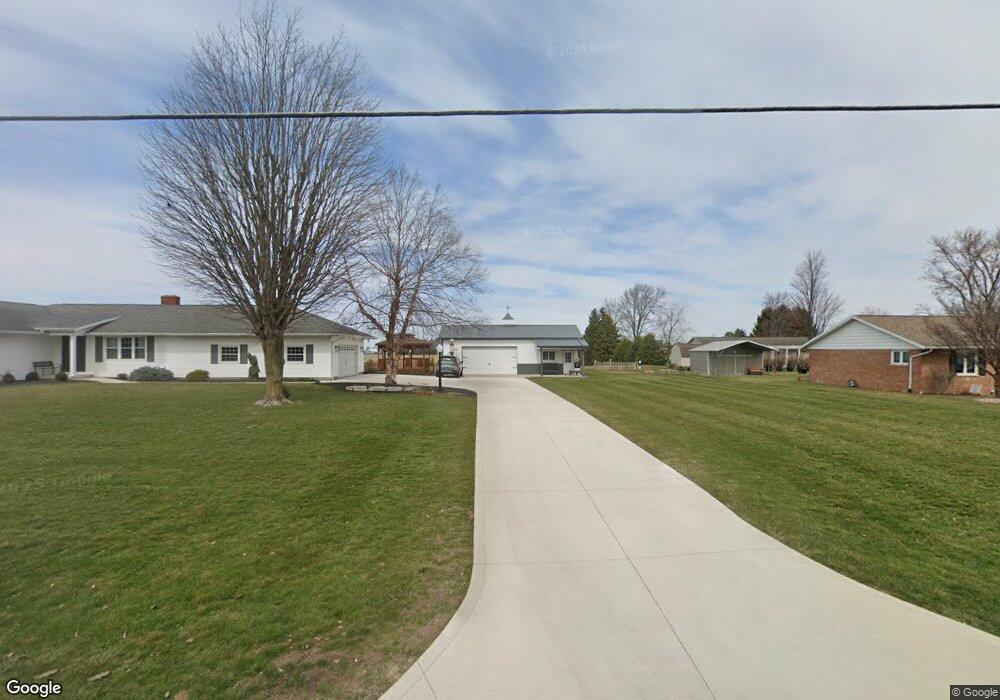
10844 State Route 12 Columbus Grove, OH 45830
Estimated Value: $219,000 - $275,000
--
Bed
2
Baths
1,632
Sq Ft
$144/Sq Ft
Est. Value
About This Home
This home is located at 10844 State Route 12, Columbus Grove, OH 45830 and is currently estimated at $235,123, approximately $144 per square foot. 10844 State Route 12 is a home located in Putnam County with nearby schools including Columbus Grove Elementary School, Columbus Grove Middle School, and Columbus Grove High School.
Ownership History
Date
Name
Owned For
Owner Type
Purchase Details
Closed on
Jun 17, 2021
Sold by
Wagner Steven R and Wagner Mary J
Bought by
Wagner Steven R and Wagner Mary J
Current Estimated Value
Purchase Details
Closed on
Jun 15, 2021
Sold by
Wagner Steven R and Wagner Mary J
Bought by
Wagner Mary J and Wagner William Kyle
Create a Home Valuation Report for This Property
The Home Valuation Report is an in-depth analysis detailing your home's value as well as a comparison with similar homes in the area
Home Values in the Area
Average Home Value in this Area
Purchase History
| Date | Buyer | Sale Price | Title Company |
|---|---|---|---|
| Wagner Steven R | -- | None Available | |
| Wagner Mary J | $10,500 | None Listed On Document | |
| Wagner Steven R | -- | None Listed On Document |
Source: Public Records
Tax History Compared to Growth
Tax History
| Year | Tax Paid | Tax Assessment Tax Assessment Total Assessment is a certain percentage of the fair market value that is determined by local assessors to be the total taxable value of land and additions on the property. | Land | Improvement |
|---|---|---|---|---|
| 2024 | $2,192 | $69,390 | $5,360 | $64,030 |
| 2023 | $2,323 | $52,530 | $4,220 | $48,310 |
| 2022 | $2,016 | $52,532 | $4,221 | $48,311 |
| 2021 | $1,871 | $52,530 | $4,220 | $48,310 |
| 2020 | $1,875 | $45,360 | $3,940 | $41,420 |
| 2019 | $1,663 | $47,550 | $4,220 | $43,330 |
| 2018 | $1,663 | $47,550 | $4,220 | $43,330 |
| 2017 | $1,559 | $47,550 | $4,220 | $43,330 |
| 2016 | $1,559 | $45,360 | $3,940 | $41,420 |
| 2015 | $1,568 | $45,360 | $3,940 | $41,420 |
| 2014 | $1,572 | $45,050 | $3,940 | $41,110 |
| 2013 | $1,471 | $42,350 | $3,940 | $38,410 |
Source: Public Records
Map
Nearby Homes
- 308 Delphos Rd
- 205 S Broadway St
- 204 S Broadway St
- 209 Willow Bend Dr
- 11059 Ottawa Rd
- 147 Elm St
- 148 S Water St
- 6585 Ottawa Rd
- 15105 Road 15m
- 00000 Ohio 696
- 000 Ohio 696
- 0000 Ohio 696
- 201 Wall St
- 309 Wall St
- 220 Parklane Dr
- 300 Sweaney Ave
- 17429 Road 5
- 704 Sherman St
- 208 E Monroe St
- 101 Maplewood Dr