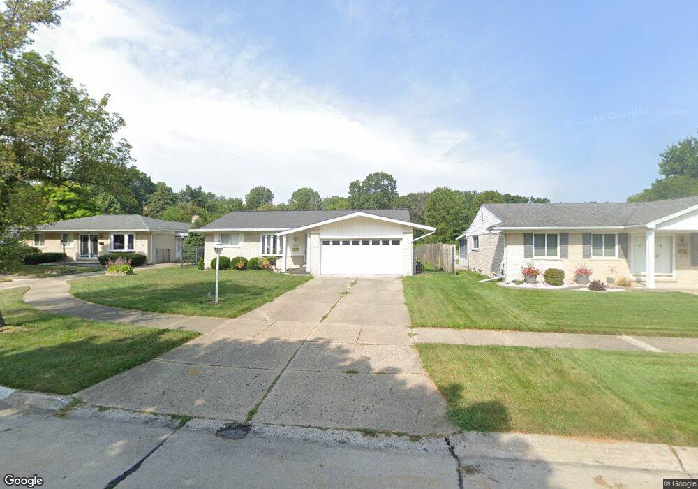
10848 Michael St Taylor, MI 48180
Estimated Value: $224,644 - $297,000
Studio
1
Bath
1,314
Sq Ft
$204/Sq Ft
Est. Value
About This Home
This home is located at 10848 Michael St, Taylor, MI 48180 and is currently estimated at $268,161, approximately $204 per square foot. 10848 Michael St is a home located in Wayne County with nearby schools including Holland Elementary School, Hoover Middle School, and Taylor High School.
Ownership History
Date
Name
Owned For
Owner Type
Purchase Details
Closed on
Oct 7, 2022
Sold by
Thompson Kimberly A
Bought by
Wilson Kaylon and Wilson Kelsey
Current Estimated Value
Purchase Details
Closed on
Jun 19, 2019
Sold by
Fox Charles D and Fox Clotene
Bought by
Fox Charles D
Purchase Details
Closed on
Jun 19, 2018
Sold by
Fox Charles D and Fox Clotene
Bought by
Fox Charles D and Fox Clotene
Purchase Details
Closed on
Mar 19, 2004
Sold by
Fox Charles D and Fox Clotene
Bought by
Fox Charles D
Create a Home Valuation Report for This Property
The Home Valuation Report is an in-depth analysis detailing your home's value as well as a comparison with similar homes in the area
Home Values in the Area
Average Home Value in this Area
Purchase History
| Date | Buyer | Sale Price | Title Company |
|---|---|---|---|
| Wilson Kaylon | -- | -- | |
| Fox Charles D | -- | None Available | |
| Fox Charles D | -- | None Available | |
| Fox Charles D | -- | None Available | |
| Fox Charles D | -- | -- |
Source: Public Records
Tax History
| Year | Tax Paid | Tax Assessment Tax Assessment Total Assessment is a certain percentage of the fair market value that is determined by local assessors to be the total taxable value of land and additions on the property. | Land | Improvement |
|---|---|---|---|---|
| 2025 | $3,482 | $113,800 | $0 | $0 |
| 2024 | $3,281 | $107,400 | $0 | $0 |
| 2023 | $3,713 | $93,800 | $0 | $0 |
| 2022 | $3,086 | $84,800 | $0 | $0 |
| 2021 | $3,317 | $77,700 | $0 | $0 |
| 2020 | $3,284 | $70,900 | $0 | $0 |
| 2019 | $244,332 | $64,500 | $0 | $0 |
| 2018 | $1,902 | $55,600 | $0 | $0 |
| 2017 | $1,097 | $53,500 | $0 | $0 |
| 2016 | $2,383 | $51,900 | $0 | $0 |
| 2015 | $4,298 | $48,300 | $0 | $0 |
| 2013 | $4,280 | $43,600 | $0 | $0 |
| 2012 | $1,878 | $43,200 | $13,600 | $29,600 |
Source: Public Records
Map
Nearby Homes
- 10935 Westlake St
- 25519 Rusty St
- 25112 Madden St
- 25556 Rusty St
- 25737 Rusty St
- 10352 Gulley St
- 25790 Madden St
- 0 Goddard Unit 20251010304
- 25830 Belledale St
- 25315 Baker St
- 9756 Janet St
- 26376 Partridge Dr Unit 89
- 26400 Partridge Dr Unit 88
- Telegraph Telegraph Rd
- 000 Pine Lot A St
- 000 Beechdaly
- 000 Pine Lot B St
- Bayberry Plan at Cypress Garden
- Bannister Plan at Cypress Garden
- Cypress Plan at Cypress Garden
- 10836 Michael St
- 10860 Michael St
- 10824 Michael St
- 10872 Michael St
- 25223 Crisler St
- 10833 Michael St
- 10812 Michael St
- 10812 Michael St
- 25211 Crisler St
- 10817 Michael St
- 25304 Goddard Rd
- 10800 Michael St
- 25258 Goddard Rd
- 25260 Goddard Rd
- 25189 Anna St
- 25240 Goddard Rd
- 25320 Goddard Rd
- 25187 Crisler St
- 25264 Goddard Rd
- 25234 Anna St
Your Personal Tour Guide
Ask me questions while you tour the home.