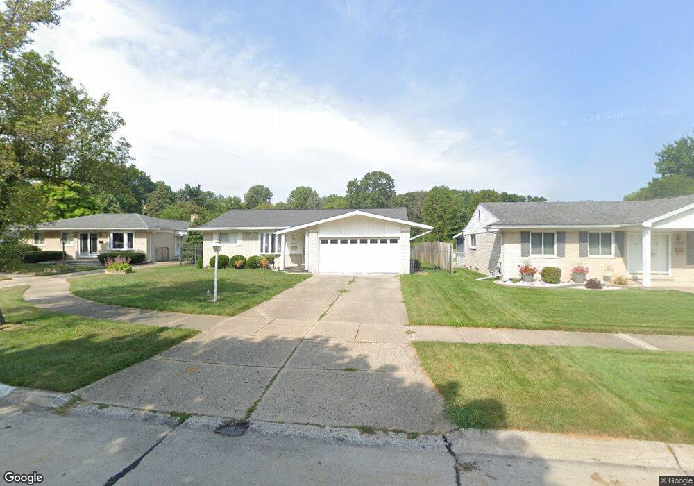
10848 Michael St Taylor, MI 48180
Estimated Value: $234,587 - $299,000
About This Home
This home is located at 10848 Michael St, Taylor, MI 48180 and is currently estimated at $277,897, approximately $211 per square foot. 10848 Michael St is a home located in Wayne County with nearby schools including Holland Elementary School, Hoover Middle School, and Taylor High School.
Ownership History
We collect this data history from publicly available records. To have your information removed, we recommend requesting removal directly through your county’s website.
Purchase Details
Purchase Details
Purchase Details
Purchase Details
Home Values in the Area
Average Home Value in this Area
Purchase History
We collect this data history from publicly available records. To have your information removed, we recommend requesting removal directly through your county’s website.
| Date | Buyer | Sale Price | Title Company |
|---|---|---|---|
| -- | -- | ||
| -- | None Available | ||
| -- | None Available | ||
| -- | None Available | ||
| -- | -- |
Tax History
We collect this data history from publicly available records. To have your information removed, we recommend requesting removal directly through your county’s website.
| Year | Tax Paid | Tax Assessment Tax Assessment Total Assessment is a certain percentage of the fair market value that is determined by local assessors to be the total taxable value of land and additions on the property. | Land | Improvement |
|---|---|---|---|---|
| 2025 | $3,482 | $113,800 | $0 | $0 |
| 2024 | $3,281 | $107,400 | $0 | $0 |
| 2023 | $3,713 | $93,800 | $0 | $0 |
| 2022 | $3,086 | $84,800 | $0 | $0 |
| 2021 | $3,317 | $77,700 | $0 | $0 |
| 2020 | $3,284 | $70,900 | $0 | $0 |
| 2019 | $244,332 | $64,500 | $0 | $0 |
| 2018 | $1,902 | $55,600 | $0 | $0 |
| 2017 | $1,097 | $53,500 | $0 | $0 |
| 2016 | $2,383 | $51,900 | $0 | $0 |
| 2015 | $4,298 | $48,300 | $0 | $0 |
| 2013 | $4,280 | $43,600 | $0 | $0 |
| 2012 | $1,878 | $43,200 | $13,600 | $29,600 |
Map
- 25168 Goddard Rd
- 25186 Anna St
- 25100 Melody St
- 24892 Melody Ln
- 24700 Goddard Rd
- 10330 Westlake St
- 25317 Koths St
- 10202 Westlake St
- 0 Goddard Unit 20251010304
- 25315 Baker St
- 11517 Partridge Dr
- Telegraph Telegraph Rd
- 000 Pine Lot A St
- 000 Pine Lot B St
- 26165 Partridge Dr Unit 79
- 26376 Partridge Dr Unit 89
- 26400 Partridge Dr Unit 88
- 11098 Partridge Dr
- 11693 Partridge Dr
- 11890 Partridge Dr Unit 91
- 25223 Crisler St
- 25211 Crisler St
- 10872 Michael St
- 25240 Goddard Rd
- 25258 Goddard Rd
- 25224 Goddard Rd
- 10860 Michael St
- 25260 Goddard Rd
- 25212 Goddard Rd
- 25264 Goddard Rd
- 25187 Crisler St
- 25180 Goddard Rd
- 10836 Michael St
- 25175 Crisler St
- 00000 Goddard
- 25188 Crisler St
- 10833 Michael St
- 25304 Goddard Rd
- 10824 Michael St
- 25174 Crisler St
Ask me questions while you tour the home.