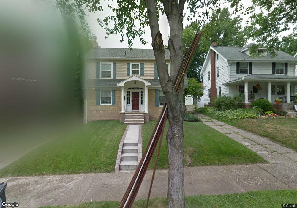
1085 Emma Ave Akron, OH 44302
Highland Square NeighborhoodEstimated Value: $185,000 - $227,000
About This Home
This home is located at 1085 Emma Ave, Akron, OH 44302 and is currently estimated at $207,522, approximately $168 per square foot. 1085 Emma Ave is a home located in Summit County with nearby schools including Summit Academy School, Our Lady Of The Elms Elementary School, and Julie Billiart School Akron.
Ownership History
We collect this data history from publicly available records. To have your information removed, we recommend requesting removal directly through your county’s website.
Purchase Details
Purchase Details
Home Financials for this Owner
Home Financials are based on the most recent Mortgage that was taken out on this home.Purchase Details
Home Values in the Area
Average Home Value in this Area
Purchase History
We collect this data history from publicly available records. To have your information removed, we recommend requesting removal directly through your county’s website.
| Date | Buyer | Sale Price | Title Company |
|---|---|---|---|
| -- | -- | ||
| $115,000 | -- | ||
| -- | -- |
Mortgage History
We collect this data history from publicly available records. To have your information removed, we recommend requesting removal directly through your county’s website.
| Date | Status | Borrower | Loan Amount |
|---|---|---|---|
| Previous Owner | $82,000 |
Tax History
We collect this data history from publicly available records. To have your information removed, we recommend requesting removal directly through your county’s website.
| Year | Tax Paid | Tax Assessment Tax Assessment Total Assessment is a certain percentage of the fair market value that is determined by local assessors to be the total taxable value of land and additions on the property. | Land | Improvement |
|---|---|---|---|---|
| 2026 | $6,569 | $56,133 | $8,540 | $47,593 |
| 2025 | $2,774 | $52,378 | $8,540 | $43,838 |
| 2024 | $2,774 | $52,378 | $8,540 | $43,838 |
| 2023 | $2,774 | $52,378 | $8,540 | $43,838 |
| 2022 | $2,765 | $41,035 | $6,619 | $34,416 |
| 2021 | $2,768 | $41,035 | $6,619 | $34,416 |
| 2020 | $2,726 | $41,040 | $6,620 | $34,420 |
| 2019 | $2,642 | $36,100 | $6,360 | $29,740 |
| 2018 | $2,606 | $36,100 | $6,360 | $29,740 |
| 2017 | $2,241 | $36,100 | $6,360 | $29,740 |
| 2016 | $2,243 | $30,350 | $6,360 | $23,990 |
| 2015 | $2,241 | $30,350 | $6,360 | $23,990 |
| 2014 | $2,223 | $30,350 | $6,360 | $23,990 |
| 2013 | $2,649 | $37,210 | $6,360 | $30,850 |
Map
- 1066 Emma Ave
- 226 Storer Ave
- 955 Amelia Ave
- 210 Storer Ave
- 141 Storer Ave
- 931 Amelia Ave
- 1021 Delia Ave
- 112 Burton Ave
- 985 Bloomfield Ave
- 286 Alhambra Way
- 138 Marvin Ave
- 482 Moreley Ave
- 960 Whittier Ave
- 543 Sunset View Dr
- 973 W Exchange St
- 261 Madison Ave
- 962 Stadelman Ave
- 914 Delia Ave
- 399 Mineola Ave
- 426 Dorchester Rd
- 1095 Emma Ave
- 1092 Emma Ave
- 1091 Emma Ave
- 1086 Emma Ave
- 287 Storer Ave
- 1080 Emma Ave
- 1081 Emma Ave
- 277 Storer Ave
- 293 Storer Ave
- 1076 Emma Ave
- 273 Storer Ave
- 1077 Emma Ave
- 297 Storer Ave
- 267 Storer Ave
- 1097 Bloomfield Ave
- 1091 Bloomfield Ave
- 1072 Emma Ave
- 1071 Emma Ave
- 1022 Amelia Ave
- 1020 Amelia Ave
Ask me questions while you tour the home.