1085 Fish Pond Rd Unit A1 Westfield, NC 27053
Estimated Value: $539,000 - $908,903
4
Beds
3
Baths
3,428
Sq Ft
$211/Sq Ft
Est. Value
About This Home
This home is located at 1085 Fish Pond Rd Unit A1, Westfield, NC 27053 and is currently estimated at $723,952, approximately $211 per square foot. 1085 Fish Pond Rd Unit A1 is a home located in Stokes County with nearby schools including Nancy Reynolds Elementary School, Piney Grove Middle, and North Stokes High.
Ownership History
Date
Name
Owned For
Owner Type
Purchase Details
Closed on
May 5, 2016
Sold by
Boyette Lee B and Boyette Patsy A
Bought by
Frey Jeffrey A and Dimeo Veronika
Current Estimated Value
Home Financials for this Owner
Home Financials are based on the most recent Mortgage that was taken out on this home.
Original Mortgage
$400,000
Outstanding Balance
$314,107
Interest Rate
3.25%
Mortgage Type
New Conventional
Estimated Equity
$409,845
Create a Home Valuation Report for This Property
The Home Valuation Report is an in-depth analysis detailing your home's value as well as a comparison with similar homes in the area
Home Values in the Area
Average Home Value in this Area
Purchase History
| Date | Buyer | Sale Price | Title Company |
|---|---|---|---|
| Frey Jeffrey A | $600,000 | Attorney |
Source: Public Records
Mortgage History
| Date | Status | Borrower | Loan Amount |
|---|---|---|---|
| Open | Frey Jeffrey A | $400,000 |
Source: Public Records
Tax History Compared to Growth
Tax History
| Year | Tax Paid | Tax Assessment Tax Assessment Total Assessment is a certain percentage of the fair market value that is determined by local assessors to be the total taxable value of land and additions on the property. | Land | Improvement |
|---|---|---|---|---|
| 2025 | $2,784 | $898,100 | $542,900 | $355,200 |
| 2024 | $2,784 | $667,200 | $417,200 | $250,000 |
| 2023 | $2,208 | $661,200 | $417,200 | $244,000 |
| 2022 | $1,973 | $661,200 | $417,200 | $244,000 |
| 2021 | $2,241 | $652,400 | $417,200 | $235,200 |
| 2020 | $2,182 | $589,500 | $356,800 | $232,700 |
| 2019 | $2,182 | $589,500 | $356,800 | $232,700 |
| 2018 | $2,182 | $589,500 | $356,800 | $232,700 |
| 2017 | $2,168 | $589,500 | $356,800 | $232,700 |
Source: Public Records
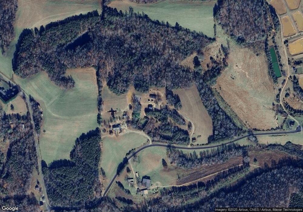
Map
Nearby Homes
- 1934 N Carolina 66
- 00 Jackson Rd
- 0 Dearmin Rd Unit 25131549
- 0 Dearmin Rd Unit 25132044
- 0 Dearmin Rd Unit 25131530
- 0 Dearmin Rd Unit 1198608
- 0 Dearmin Rd Unit 1198590
- 74.83 Windy Hill Rd
- 1135 Daisy Creek Farm Rd
- 3.9Ac Pell Rd
- 1561 Horseshoe Rd
- 0 Joyce Acres Rd
- 1125 Apple Blossom Ln
- 1202 Farm Rd
- 0 Sunset Ridge Rd
- 1928 Frye Rd
- 0 Simmons Rd
- 00 Albion Church Rd
- 0 Wildlife Rd Unit 1196047
- 1288 & 1292 Pilot Westfield Rd
- 1085 Fish Pond Rd
- 3757 Nc 66 Hwy N
- 3695 Nc 66 Hwy N
- 3813 Nc Highway 66 N
- 1041 Jackson Rd
- 85 ACRES+/ Fish Pond
- 0 Fish Pond Rd
- 1071 Jackson Rd
- 3581 Nc Highway 66 N
- 3504 Nc Highway 66 N
- 3607 Nc 66 Hwy N
- 85 Fish Pond Rd
- 1094 Jackson Rd
- 3858 Nc Highway 66 N
- 1108 Jackson Rd
- 1111 Jackson Rd
- 1271 Fish Pond Rd Unit 50
- 1271 Fish Pond Rd Unit 35
- 3875 Nc Highway 66 N
- 1048 Jackson Rd