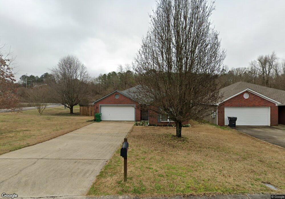
1085 Georgetown Ln Birmingham, AL 35217
Estimated Value: $180,000 - $242,000
3
Beds
2
Baths
1,404
Sq Ft
$144/Sq Ft
Est. Value
About This Home
This home is located at 1085 Georgetown Ln, Birmingham, AL 35217 and is currently estimated at $202,219, approximately $144 per square foot. 1085 Georgetown Ln is a home with nearby schools including Fultondale Elementary School, Fultondale High School, and Mt. Olive Academy.
Ownership History
Date
Name
Owned For
Owner Type
Purchase Details
Closed on
Nov 26, 1997
Sold by
Holman Realty Company Inc
Bought by
Small Tommie M and Small Glenna K
Current Estimated Value
Home Financials for this Owner
Home Financials are based on the most recent Mortgage that was taken out on this home.
Original Mortgage
$41,900
Outstanding Balance
$7,183
Interest Rate
7.38%
Estimated Equity
$195,036
Create a Home Valuation Report for This Property
The Home Valuation Report is an in-depth analysis detailing your home's value as well as a comparison with similar homes in the area
Home Values in the Area
Average Home Value in this Area
Purchase History
| Date | Buyer | Sale Price | Title Company |
|---|---|---|---|
| Small Tommie M | $91,900 | Magic City Title Company Inc |
Source: Public Records
Mortgage History
| Date | Status | Borrower | Loan Amount |
|---|---|---|---|
| Open | Small Tommie M | $41,900 |
Source: Public Records
Tax History Compared to Growth
Tax History
| Year | Tax Paid | Tax Assessment Tax Assessment Total Assessment is a certain percentage of the fair market value that is determined by local assessors to be the total taxable value of land and additions on the property. | Land | Improvement |
|---|---|---|---|---|
| 2024 | -- | $19,080 | -- | -- |
| 2022 | $0 | $19,670 | $3,200 | $16,470 |
| 2021 | $564 | $16,110 | $3,200 | $12,910 |
| 2020 | $564 | $15,880 | $3,200 | $12,680 |
| 2019 | $564 | $15,060 | $0 | $0 |
| 2018 | $0 | $14,340 | $0 | $0 |
| 2017 | $564 | $14,340 | $0 | $0 |
| 2016 | $564 | $12,160 | $0 | $0 |
| 2015 | $564 | $12,160 | $0 | $0 |
| 2014 | $526 | $11,380 | $0 | $0 |
| 2013 | $526 | $11,380 | $0 | $0 |
Source: Public Records
Map
Nearby Homes
- 2708 Nelda Cir
- 725 Lual Dr
- 806 Lykes Blvd
- 4016 Oak St
- 536 Reading Ln
- 516 Reading Ln
- 879 Lual Dr Unit LOT 12
- 3693 Grand Central Ave
- 3007 Calvary Hill Unit 24
- 694 Norfolk Dr
- 3006 Calvary Hill Unit 1
- 917 Calvary Crossing
- 3000 Calvary Hill Unit 2
- 0 Calvary Crossing Unit 6
- 804 Calvary Crossing Unit 20
- 2206 Decatur Hwy
- The Maddux II Village Pkwy
- 927 Calvary Crossing Unit 4
- The Ellison II Village Pkwy
- The Norwood II Village Pkwy
- 1081 Georgetown Ln
- 1077 Georgetown Ln
- 1076 Georgetown Ln
- 1073 Georgetown Ln
- 1069 Georgetown Ln
- 1060 Georgetown Ln
- 1065 Georgetown Ln
- 1056 Georgetown Ln
- 1061 Georgetown Ln
- 1052 Georgetown Ln
- 1057 Georgetown Ln
- 1798 Carson Rd N
- 1803 Carson Rd
- 1048 Georgetown Ln
- 1053 Georgetown Ln
- 1049 Georgetown Ln
- 1049 Georgetown Ln Unit 10
- 1044 Georgetown Ln
- 1806 Carson Rd Unit 1
- 1045 Georgetown Ln