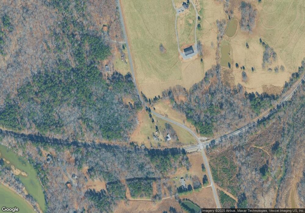
1085 Lewis Ferry Rd Statesville, NC 28677
Estimated Value: $140,000 - $369,000
--
Bed
--
Bath
--
Sq Ft
2.53
Acres
About This Home
This home is located at 1085 Lewis Ferry Rd, Statesville, NC 28677 and is currently estimated at $292,000. 1085 Lewis Ferry Rd is a home with nearby schools including Celeste Henkel Elementary School, West Iredell Middle School, and West Iredell High School.
Ownership History
Date
Name
Owned For
Owner Type
Purchase Details
Closed on
Oct 8, 2024
Sold by
Ballard Claudette B and Ballard Johnny Ray
Bought by
Ballard Michael Colt
Current Estimated Value
Home Financials for this Owner
Home Financials are based on the most recent Mortgage that was taken out on this home.
Original Mortgage
$250,000
Outstanding Balance
$247,426
Interest Rate
6.46%
Mortgage Type
Construction
Estimated Equity
$44,574
Purchase Details
Closed on
Oct 27, 2021
Sold by
Ballard Claudette B and Ballard Johnny Ray
Bought by
Ballard Claudette B and Ballard Johnny Ray
Purchase Details
Closed on
Jul 12, 2002
Sold by
Mullins Stephen and Mullins Sue B
Bought by
Ballard Claudette B
Create a Home Valuation Report for This Property
The Home Valuation Report is an in-depth analysis detailing your home's value as well as a comparison with similar homes in the area
Home Values in the Area
Average Home Value in this Area
Purchase History
| Date | Buyer | Sale Price | Title Company |
|---|---|---|---|
| Ballard Michael Colt | -- | None Listed On Document | |
| Ballard Claudette B | -- | None Available | |
| Ballard Claudette B | -- | -- |
Source: Public Records
Mortgage History
| Date | Status | Borrower | Loan Amount |
|---|---|---|---|
| Open | Ballard Michael Colt | $250,000 |
Source: Public Records
Tax History Compared to Growth
Tax History
| Year | Tax Paid | Tax Assessment Tax Assessment Total Assessment is a certain percentage of the fair market value that is determined by local assessors to be the total taxable value of land and additions on the property. | Land | Improvement |
|---|---|---|---|---|
| 2024 | $350 | $59,350 | $57,680 | $1,670 |
| 2023 | $350 | $59,350 | $57,680 | $1,670 |
| 2022 | $217 | $34,610 | $34,610 | $0 |
| 2021 | $217 | $34,610 | $34,610 | $0 |
| 2020 | $217 | $34,610 | $34,610 | $0 |
| 2019 | $214 | $34,610 | $34,610 | $0 |
| 2018 | $207 | $34,610 | $34,610 | $0 |
| 2017 | $207 | $34,610 | $34,610 | $0 |
| 2016 | $207 | $34,610 | $34,610 | $0 |
| 2015 | $207 | $34,610 | $34,610 | $0 |
| 2014 | $192 | $34,610 | $34,610 | $0 |
Source: Public Records
Map
Nearby Homes
- 1116 W Lewis Ferry Rd
- 125 Tangle River Dr Unit 51
- 0000 Canal Dr
- 182 Canal Dr
- 0000 Upper Lake Dr
- 123 High Shoals Ln Unit 19
- 221 Grayrock Dr
- 141 Pounders Ridge Ln
- Lot 1 Baxter Ln
- Lot 2 Baxter Ln
- 0 Carriage Rd
- 0000 Lauren Dr
- 155 Windingwood Dr
- 227 Windingwood Dr
- 193 Windingwood Dr
- 105 Southern Horizon Dr
- 1197 Eufola Rd
- 126 Mandy Beth Ln
- Lt 161 Windbluff Ct
- Colfax Plan at Peyton's Creek
- 1064 Lewis Ferry Rd
- 1086 Lewis Ferry Rd
- 1040 Lewis Ferry Rd
- 1116 Lewis Ferry Rd
- 1028 Lewis Ferry Rd
- 168 Duchamp Ln
- 170 Duchamp Ln
- 1138 Lewis Ferry Rd
- 169 Duchamp Ln
- 147 Duchamp Ln
- 127 Catfish Dr
- 152 River Haven Dr
- 148 Ladyslipper Dr
- 137 Canal Dr
- 1170 Lewis Ferry Rd
- 155 River Haven Dr
- 1161 Lewis Ferry Rd
- 149 Ladyslipper Dr
- 126 Catfish Dr
- L6&7 Upper Lake Dr
