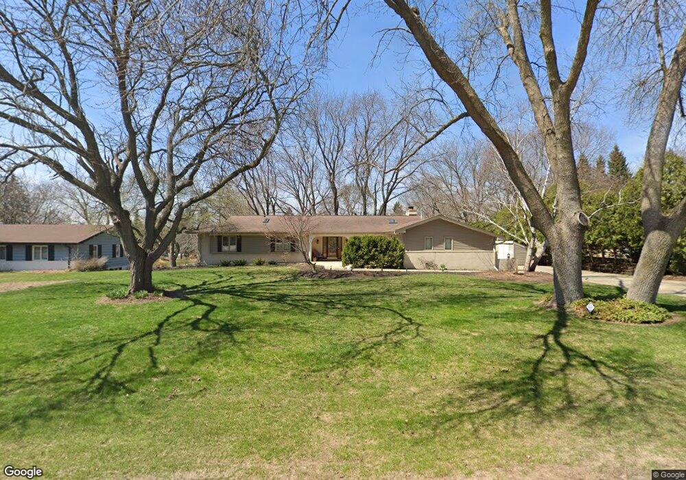
1085 Longwood Ave Elm Grove, WI 53122
Estimated Value: $698,000 - $814,000
4
Beds
3
Baths
3,105
Sq Ft
$241/Sq Ft
Est. Value
About This Home
This home is located at 1085 Longwood Ave, Elm Grove, WI 53122 and is currently estimated at $749,632, approximately $241 per square foot. 1085 Longwood Ave is a home located in Waukesha County with nearby schools including Tonawanda Elementary School, Pilgrim Park Middle School, and Brookfield East High School.
Ownership History
Date
Name
Owned For
Owner Type
Purchase Details
Closed on
Mar 1, 2004
Sold by
Ketterhagen Lois M
Bought by
Colpaert Gary J and Colpaert Krista D
Current Estimated Value
Home Financials for this Owner
Home Financials are based on the most recent Mortgage that was taken out on this home.
Original Mortgage
$223,900
Interest Rate
4.12%
Mortgage Type
Purchase Money Mortgage
Create a Home Valuation Report for This Property
The Home Valuation Report is an in-depth analysis detailing your home's value as well as a comparison with similar homes in the area
Home Values in the Area
Average Home Value in this Area
Purchase History
| Date | Buyer | Sale Price | Title Company |
|---|---|---|---|
| Colpaert Gary J | $279,900 | -- |
Source: Public Records
Mortgage History
| Date | Status | Borrower | Loan Amount |
|---|---|---|---|
| Closed | Colpaert Gary J | $223,900 |
Source: Public Records
Tax History Compared to Growth
Tax History
| Year | Tax Paid | Tax Assessment Tax Assessment Total Assessment is a certain percentage of the fair market value that is determined by local assessors to be the total taxable value of land and additions on the property. | Land | Improvement |
|---|---|---|---|---|
| 2024 | $7,398 | $553,900 | $141,800 | $412,100 |
| 2023 | $6,818 | $467,200 | $127,500 | $339,700 |
| 2022 | $7,150 | $467,200 | $127,500 | $339,700 |
| 2021 | $7,199 | $417,900 | $127,500 | $290,400 |
| 2020 | $7,443 | $417,900 | $127,500 | $290,400 |
| 2019 | $7,085 | $379,500 | $131,300 | $248,200 |
| 2018 | $6,732 | $379,500 | $131,300 | $248,200 |
| 2017 | $6,862 | $360,000 | $130,000 | $230,000 |
| 2016 | $6,803 | $360,000 | $130,000 | $230,000 |
| 2015 | $6,766 | $360,000 | $130,000 | $230,000 |
| 2014 | $5,513 | $335,300 | $116,800 | $218,500 |
| 2013 | $5,513 | $298,800 | $116,800 | $182,000 |
Source: Public Records
Map
Nearby Homes
- 12855 Stephen Place
- 13130 Watertown Plank Rd Unit 312
- 1239 N 122nd St
- 13050 W Bluemound Rd Unit 303
- 12990 W Bluemound Rd Unit 205
- 12980 W Bluemound Rd Unit 308
- 11722 W Diane Dr
- 12207 W Bluemound Rd
- 13485 Braemar Dr
- 12000 W Bluemound Rd Unit 111
- 1409 N 116th St
- 333 N 120th St
- 11510 W Wisconsin Ave
- 744 N 115th St
- 1920 Fairhaven Blvd
- 328 N 115th St
- 242 N 116th St
- 441 N 112th St
- 14220 Hillside Rd
- 10915 W Wisconsin Ave
- 1065 Longwood Ave
- 1105 Longwood Ave
- 1090 Red Barn Ln
- 1070 Red Barn Ln
- 1005 Longwood Ave
- 1145 Longwood Ave
- 1100 Red Barn Ln
- 12600 W Grove Terrace
- 12605 Westgrove Terrace
- 12600 Westgrove Terrace
- 1030 Red Barn Ln
- 1060 Longwood Ave
- 1150 Red Barn Ln
- Lt7 Red Barn Ln
- Lt10 Red Barn Ln
- Lt8 Red Barn Ln
- Lt9 Red Barn Ln
- Lt5 Red Barn Ln
- Lt6 Red Barn Ln
- 1140 Longwood Ave