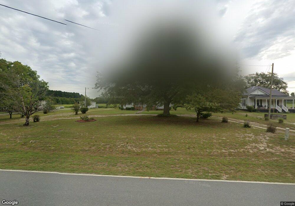
1085 Louie Pollock Rd La Grange, NC 28551
Estimated Value: $157,388 - $258,000
3
Beds
2
Baths
1,152
Sq Ft
$181/Sq Ft
Est. Value
About This Home
This home is located at 1085 Louie Pollock Rd, La Grange, NC 28551 and is currently estimated at $208,847, approximately $181 per square foot. 1085 Louie Pollock Rd is a home located in Lenoir County with nearby schools including La Grange Elementary School, E.B. Frink Middle School, and North Lenoir High School.
Ownership History
Date
Name
Owned For
Owner Type
Purchase Details
Closed on
Nov 18, 2016
Sold by
Holmes Mary S and Holmes David L
Bought by
Holmes Mary S
Current Estimated Value
Home Financials for this Owner
Home Financials are based on the most recent Mortgage that was taken out on this home.
Original Mortgage
$25,000
Interest Rate
3.52%
Mortgage Type
New Conventional
Create a Home Valuation Report for This Property
The Home Valuation Report is an in-depth analysis detailing your home's value as well as a comparison with similar homes in the area
Home Values in the Area
Average Home Value in this Area
Purchase History
| Date | Buyer | Sale Price | Title Company |
|---|---|---|---|
| Holmes Mary S | -- | None Available |
Source: Public Records
Mortgage History
| Date | Status | Borrower | Loan Amount |
|---|---|---|---|
| Closed | Holmes Mary S | $25,000 |
Source: Public Records
Tax History Compared to Growth
Tax History
| Year | Tax Paid | Tax Assessment Tax Assessment Total Assessment is a certain percentage of the fair market value that is determined by local assessors to be the total taxable value of land and additions on the property. | Land | Improvement |
|---|---|---|---|---|
| 2025 | $1,451 | $187,822 | $22,995 | $164,827 |
| 2024 | $914 | $91,305 | $16,800 | $74,505 |
| 2023 | $914 | $91,305 | $16,800 | $74,505 |
| 2022 | $914 | $91,305 | $16,800 | $74,505 |
| 2021 | $912 | $91,305 | $16,800 | $74,505 |
| 2020 | $912 | $91,305 | $16,800 | $74,505 |
| 2019 | $914 | $91,305 | $16,800 | $74,505 |
| 2018 | $900 | $91,305 | $16,800 | $74,505 |
| 2017 | $899 | $91,305 | $16,800 | $74,505 |
| 2014 | $954 | $98,858 | $16,800 | $82,058 |
| 2013 | -- | $98,858 | $16,800 | $82,058 |
| 2011 | -- | $98,858 | $16,800 | $82,058 |
Source: Public Records
Map
Nearby Homes
- Lot #2 Albert Sugg Rd
- 3733 Fields Station Rd
- 3101 Marion Heights Dr
- 2200 Carriage Dr
- 1006 White Oak Dr
- 1443 Bland Howell Rd
- 3043 Falcon Ct
- 3030 Falcon Ct
- 6 N Carolina 11
- 3005 Condor Ct
- 3028 Condor Ct
- 3052 Condor Ct
- 5 N Carolina 11
- 1031 Post Rider Dr
- 1020 Albrittons Rd
- 222 Orange St
- 270 Orange St
- 2048 Town Crier Rd
- 2704 Forrest Dr
- 3255 Caroline Nicole Dr
- 1083 Louie Pollock Rd
- 1099 Louie Pollock Rd
- 1100 Louie Pollock Rd
- 1129 Louie Pollock Rd
- 1065 Louie Pollock Rd
- 1082 Louie Pollock Rd
- 1110 Louie Pollock Rd
- 2921 John Holmes Rd
- 2935 John Holmes Rd
- 2984 Kennedy Home Rd
- 2947 John Holmes Rd
- 2966 Kennedy Home Rd
- 3066 Kennedy Home Rd
- 1178 Louie Pollock Rd
- 1173 Louie Pollock Rd
- 3113 Kennedy Home Rd
- 1209 Louie Pollock Rd
- 1914 Brookstone Dr
- 1217 Louie Pollock Rd
- 1896 Brookstone Dr