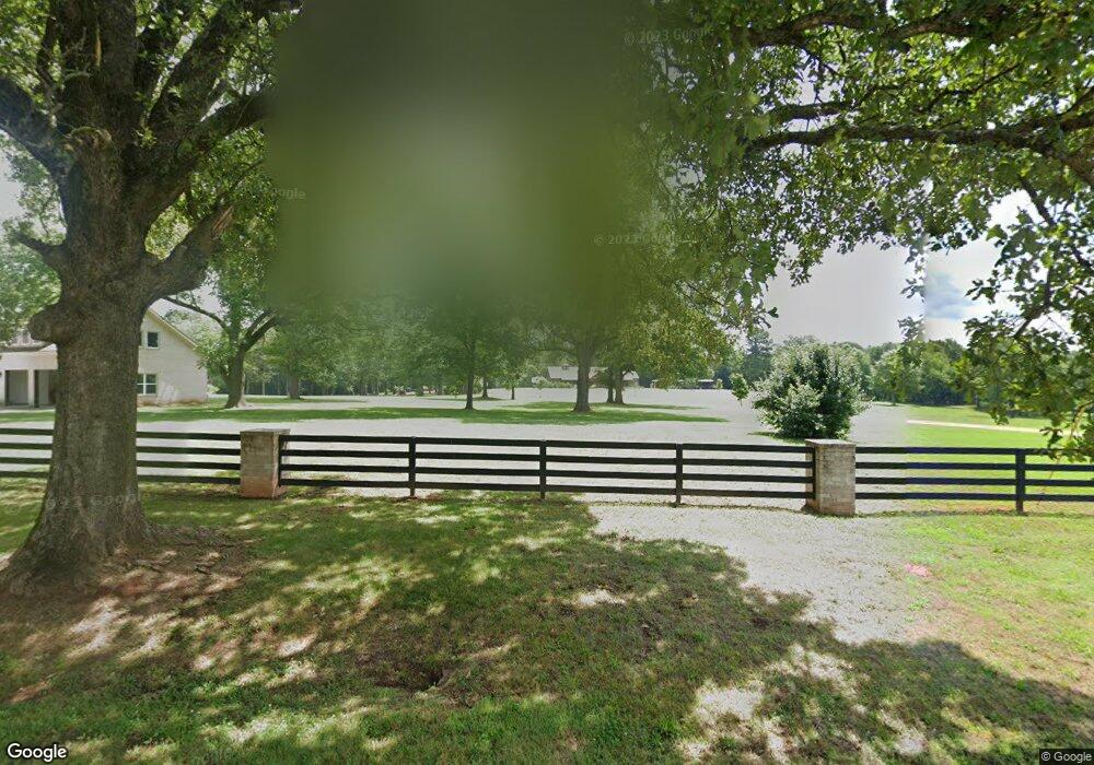
1085 Manning Gin Rd Winder, GA 30680
Estimated Value: $341,000 - $1,376,879
5
Beds
2
Baths
1,680
Sq Ft
$524/Sq Ft
Est. Value
About This Home
This home is located at 1085 Manning Gin Rd, Winder, GA 30680 and is currently estimated at $879,720, approximately $523 per square foot. 1085 Manning Gin Rd is a home located in Barrow County with nearby schools including Bethlehem Elementary School, Haymon-Morris Middle School, and Apalachee High School.
Ownership History
Date
Name
Owned For
Owner Type
Purchase Details
Closed on
Mar 16, 2016
Sold by
Kiley Susan Perry
Bought by
Smith Sisters Farm Llc
Current Estimated Value
Purchase Details
Closed on
Feb 26, 2015
Sold by
Adamson Robert W
Bought by
Pittman Tony and Pittman Amy
Purchase Details
Closed on
Jan 31, 2000
Sold by
Smith Annie O
Bought by
Kiley Susan P
Purchase Details
Closed on
Mar 9, 1995
Bought by
Smith Annie Opal And
Create a Home Valuation Report for This Property
The Home Valuation Report is an in-depth analysis detailing your home's value as well as a comparison with similar homes in the area
Home Values in the Area
Average Home Value in this Area
Purchase History
| Date | Buyer | Sale Price | Title Company |
|---|---|---|---|
| Smith Sisters Farm Llc | $530,517 | -- | |
| Pittman Tony | $296,592 | -- | |
| Adamson Robert W | $498,701 | -- | |
| Kiley Susan P | -- | -- | |
| Smith Annie Opal And | -- | -- |
Source: Public Records
Tax History Compared to Growth
Tax History
| Year | Tax Paid | Tax Assessment Tax Assessment Total Assessment is a certain percentage of the fair market value that is determined by local assessors to be the total taxable value of land and additions on the property. | Land | Improvement |
|---|---|---|---|---|
| 2024 | $7,329 | $450,543 | $187,560 | $262,983 |
| 2023 | $6,285 | $450,543 | $187,560 | $262,983 |
| 2022 | $4,917 | $382,546 | $187,560 | $194,986 |
| 2021 | $6,898 | $382,329 | $187,560 | $194,769 |
| 2020 | $6,431 | $345,618 | $165,038 | $180,580 |
| 2019 | $4,893 | $300,690 | $165,038 | $135,652 |
| 2018 | $2,844 | $234,865 | $165,038 | $69,827 |
| 2017 | $5,703 | $195,865 | $165,038 | $30,827 |
| 2016 | $1,516 | $165,084 | $161,802 | $3,282 |
| 2015 | $1,567 | $272,667 | $269,385 | $3,282 |
| 2014 | -- | $176,097 | $169,713 | $6,384 |
| 2013 | -- | $175,662 | $169,712 | $5,949 |
Source: Public Records
Map
Nearby Homes
- 296 Westminster Trail
- 131 Wallace Dr
- 101 Westminster Ct
- 140 Westminster Ct
- 258 Westminster Ct
- 264 Westminster Ct
- 1625 Austin Rd
- 0 Manning Gin Rd Unit 10529477
- 0 Manning Gin Rd Unit 7585578
- 159 Mockingbird Ln Unit 16
- 111 Mockingbird Ln Unit 15
- 199 Mockingbird Ln Unit 17
- 225 Mockingbird Ln Unit 18
- 247 Mockingbird Ln Unit 19
- 271 Mockingbird Ln Unit 20
- 291 Mockingbird Ln Unit 21
- 142 Brockton Way Unit 9
- 1085 Manning Gin Rd Unit B
- 1014 Manning Gin Rd
- 1085 Manning Gin Road B
- 0 Manning Gin Rd Unit 3112045
- 0 Manning Gin Rd Unit 8032140
- 0 Manning Gin Rd Unit 4263132
- 0 Manning Gin Rd Unit 4308319
- 00 Manning Gin Rd
- 0 Manning Gin Rd Unit CM923644
- 0 Manning Gin Rd Unit 7200789
- 0 Manning Gin Rd Unit 7160170
- 0 Manning Gin Rd Unit 7307191
- 0 Manning Gin Rd Unit 7339495
- 1455 Austin Rd
- 1139 Manning Gin Rd
- 1147 Manning Gin Rd
- 1042 Manning Gin Rd
- 1161 Manning Gin Rd
- 1438 Austin Rd
- 1353 Austin Rd