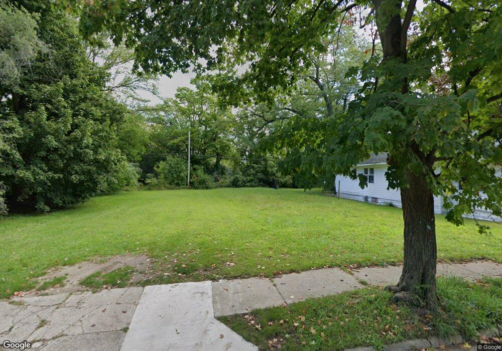
1085 Pavone St Benton Harbor, MI 49022
Estimated Value: $55,000 - $242,000
--
Bed
--
Bath
--
Sq Ft
5,532
Sq Ft Lot
About This Home
This home is located at 1085 Pavone St, Benton Harbor, MI 49022 and is currently estimated at $148,500. 1085 Pavone St is a home located in Berrien County with nearby schools including Fair Plain Middle School, Benton Harbor High School, and Benton Harbor Charter School Academy.
Ownership History
Date
Name
Owned For
Owner Type
Purchase Details
Closed on
Oct 19, 2021
Sold by
Pascarella David Anthony and Pascarella Ines Andrea
Bought by
Mountain View Investments Trust
Current Estimated Value
Purchase Details
Closed on
Nov 16, 2020
Sold by
Berrien County Treasurer
Bought by
Pascarella David Anthony and Pascarella Ines Andrea
Purchase Details
Closed on
Oct 27, 2020
Sold by
Bell Robert L
Bought by
Berrien County Treasurer
Purchase Details
Closed on
Mar 30, 1995
Purchase Details
Closed on
Nov 21, 1991
Create a Home Valuation Report for This Property
The Home Valuation Report is an in-depth analysis detailing your home's value as well as a comparison with similar homes in the area
Home Values in the Area
Average Home Value in this Area
Purchase History
| Date | Buyer | Sale Price | Title Company |
|---|---|---|---|
| Mountain View Investments Trust | $1,225 | None Available | |
| Pascarella David Anthony | -- | None Available | |
| Berrien County Treasurer | -- | Berrien County Treasurer | |
| -- | -- | -- | |
| -- | $100 | -- |
Source: Public Records
Tax History Compared to Growth
Tax History
| Year | Tax Paid | Tax Assessment Tax Assessment Total Assessment is a certain percentage of the fair market value that is determined by local assessors to be the total taxable value of land and additions on the property. | Land | Improvement |
|---|---|---|---|---|
| 2025 | $28 | $2,900 | $0 | $0 |
| 2024 | $27 | $2,400 | $0 | $0 |
| 2023 | $21 | $500 | $0 | $0 |
| 2022 | $24 | $400 | $0 | $0 |
| 2021 | $38 | $600 | $600 | $0 |
| 2020 | $38 | $600 | $0 | $0 |
| 2019 | $38 | $600 | $0 | $0 |
| 2018 | $73 | $2,300 | $0 | $0 |
| 2017 | $71 | $2,100 | $0 | $0 |
| 2016 | $70 | $2,100 | $0 | $0 |
| 2015 | $70 | $2,000 | $0 | $0 |
| 2014 | $66 | $2,400 | $0 | $0 |
Source: Public Records
Map
Nearby Homes
- 1097 Pearl St
- 361 E May St
- 972 Pearl St
- 979 Lavette Ave
- 1267 Broadway
- 349 E Empire Ave
- 1235 Colfax Ave
- 872 Mcalister Ave
- 941 Colfax Ave
- 171 E Empire Ave
- 1219 Ogden Ave
- 180 Emery Ave
- 833 Pearl St
- 1332 Columbus Ave
- 1301 Superior St
- 1045 Broadway
- 202 Searles Ave
- 1129 Jennings Ave
- 960 Jennings Ave
- 131 Clay St