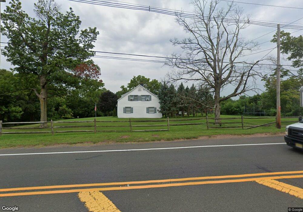
1085 Route 202/026 Bridgewater, NJ 08807
Green Knoll NeighborhoodEstimated Value: $395,000 - $842,000
--
Bed
--
Bath
2,573
Sq Ft
$255/Sq Ft
Est. Value
About This Home
This home is located at 1085 Route 202/026, Bridgewater, NJ 08807 and is currently estimated at $657,072, approximately $255 per square foot. 1085 Route 202/026 is a home with nearby schools including Hamilton Primary School, Hillside Intermediate School, and Bridgewater-Raritan Middle School.
Ownership History
Date
Name
Owned For
Owner Type
Purchase Details
Closed on
Jul 8, 2020
Sold by
Nied Edwina J
Bought by
Nied Edwina J and The Edwina J Nied Revocable Tr
Current Estimated Value
Purchase Details
Closed on
Nov 1, 2003
Sold by
Nied Edwina J
Bought by
Nied Edwina J and Lamberson Howard J
Home Financials for this Owner
Home Financials are based on the most recent Mortgage that was taken out on this home.
Original Mortgage
$200,000
Interest Rate
5.58%
Create a Home Valuation Report for This Property
The Home Valuation Report is an in-depth analysis detailing your home's value as well as a comparison with similar homes in the area
Home Values in the Area
Average Home Value in this Area
Purchase History
| Date | Buyer | Sale Price | Title Company |
|---|---|---|---|
| Nied Edwina J | -- | None Available | |
| Nied Edwina J | $200,000 | -- |
Source: Public Records
Mortgage History
| Date | Status | Borrower | Loan Amount |
|---|---|---|---|
| Previous Owner | Nied Edwina J | $200,000 |
Source: Public Records
Tax History Compared to Growth
Tax History
| Year | Tax Paid | Tax Assessment Tax Assessment Total Assessment is a certain percentage of the fair market value that is determined by local assessors to be the total taxable value of land and additions on the property. | Land | Improvement |
|---|---|---|---|---|
| 2025 | $9,113 | $484,200 | $239,000 | $245,200 |
| 2024 | $9,113 | $467,100 | $239,000 | $228,100 |
| 2023 | $8,649 | $435,700 | $239,000 | $196,700 |
| 2022 | $8,391 | $408,700 | $239,000 | $169,700 |
| 2021 | $8,325 | $399,000 | $239,000 | $160,000 |
| 2020 | $8,309 | $396,800 | $239,000 | $157,800 |
| 2019 | $8,325 | $393,600 | $239,000 | $154,600 |
| 2018 | $8,343 | $395,400 | $239,000 | $156,400 |
| 2017 | $8,304 | $393,200 | $239,000 | $154,200 |
| 2016 | $8,170 | $392,600 | $239,000 | $153,600 |
| 2015 | $8,108 | $389,800 | $239,000 | $150,800 |
| 2014 | -- | $389,800 | $239,000 | $150,800 |
Source: Public Records
Map
Nearby Homes
- 182 Victoria Dr
- 252 Victoria Dr Unit C1
- 259 Victoria Dr Unit J1
- 266 Victoria Dr Unit B2
- 354 Victoria Dr Unit 1003E1
- 731 Cedarbrook Rd
- 840 Dow Rd
- 1297 Hemlock Dr
- 795 Dow Rd
- 2 Presidents Dr
- 698 Foothill Rd
- 20 Copper Hill Rd
- 1002 Timberbrooke Dr
- 737 Wingate Dr
- 730 Wingate Dr
- 971 Washington Valley Rd
- 25 Spruce Ct
- 15 Ray Ct
- 6 Ray Ct Unit 13706
- 700 Half Foothill Rd
- 170 Victoria Dr
- 172 Victoria Dr
- 171 Victoria Dr Unit E2
- 173 Victoria Dr
- 150 Victoria Dr
- 174 Victoria Dr
- 152 Victoria Dr
- 151 Victoria Dr Unit B1
- 153 Victoria Dr
- 175 Victoria Dr
- 803 Brown Rd
- 154 Victoria Dr
- 176 Victoria Dr
- 155 Victoria Dr
- 156 Victoria Dr
- 177 Victoria Dr
- 157 Victoria Dr
- 178 Victoria Dr Unit L2
- 179 Victoria Dr Unit M2
- 159 Victoria Dr