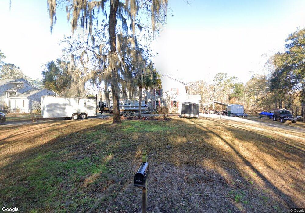
1085 Rowe Pond Rd Conway, SC 29526
Estimated Value: $436,000 - $561,000
3
Beds
4
Baths
2,986
Sq Ft
$174/Sq Ft
Est. Value
About This Home
This home is located at 1085 Rowe Pond Rd, Conway, SC 29526 and is currently estimated at $520,562, approximately $174 per square foot. 1085 Rowe Pond Rd is a home located in Horry County with nearby schools including Waccamaw Elementary School, Black Water Middle School, and Carolina Forest High School.
Ownership History
Date
Name
Owned For
Owner Type
Purchase Details
Closed on
May 2, 2006
Sold by
Britton Douglas M and Britton Juanita G
Bought by
Howard Barry A and Howard Wendy L
Current Estimated Value
Home Financials for this Owner
Home Financials are based on the most recent Mortgage that was taken out on this home.
Original Mortgage
$85,500
Outstanding Balance
$32,046
Interest Rate
6.33%
Mortgage Type
Credit Line Revolving
Estimated Equity
$488,516
Create a Home Valuation Report for This Property
The Home Valuation Report is an in-depth analysis detailing your home's value as well as a comparison with similar homes in the area
Home Values in the Area
Average Home Value in this Area
Purchase History
| Date | Buyer | Sale Price | Title Company |
|---|---|---|---|
| Howard Barry A | $285,000 | None Available |
Source: Public Records
Mortgage History
| Date | Status | Borrower | Loan Amount |
|---|---|---|---|
| Open | Howard Barry A | $85,500 | |
| Open | Howard Barry A | $199,500 |
Source: Public Records
Tax History Compared to Growth
Tax History
| Year | Tax Paid | Tax Assessment Tax Assessment Total Assessment is a certain percentage of the fair market value that is determined by local assessors to be the total taxable value of land and additions on the property. | Land | Improvement |
|---|---|---|---|---|
| 2024 | $1,731 | $20,197 | $5,804 | $14,393 |
| 2023 | $1,731 | $15,532 | $4,780 | $10,752 |
| 2021 | $1,559 | $15,532 | $4,780 | $10,752 |
| 2020 | $1,396 | $15,532 | $4,780 | $10,752 |
| 2019 | $1,396 | $15,532 | $4,780 | $10,752 |
| 2018 | $1,327 | $14,320 | $4,780 | $9,540 |
| 2017 | $1,312 | $14,320 | $4,780 | $9,540 |
| 2016 | -- | $14,320 | $4,780 | $9,540 |
| 2015 | $1,312 | $14,320 | $4,780 | $9,540 |
| 2014 | $1,241 | $14,704 | $4,780 | $9,924 |
Source: Public Records
Map
Nearby Homes
- TBD Redmond Ct Unit Lot 20
- Lot 17 Rowe Pond Rd
- 799 Redmond Ct
- Lot 18 Cypress Knee Ct
- 275 Waccamaw River Dr
- 202 Cypress Knee Ct
- 881 Rowe Pond Rd
- 2108 Lees Landing Cir
- 520 Honeyhill Loop Unit Lot 36
- 533 Honeyhill Loop Unit Lot 78
- 135 Grissett Lake Dr
- 131 Grissett Lake Dr
- 544 Honeyhill Loop
- 544 Honeyhill Loop Unit Lot 32
- 422 Sean River Rd Unit St. Annes Oaks
- 361 Sean River Rd
- 484 Honeyhill Loop
- 1613 Kings Oak Lp
- Oliver II Plan at Grissett Landing
- Wisteria II Plan at Grissett Landing
- 1083 Rowe Pond Rd
- 768 Embassy Ln
- 764 Embassy Ln
- TBD Embassy Ln Unit Lot 31
- TBD Embassy Ln Unit Lot 16
- TBD Embassy Ln Unit Lot 15
- 1063 Rowe Pond Rd
- 762 Embassy Ln
- 1055 Rowe Pond Rd
- 796 Redmond Ct
- 760 Embassy Ln
- Lot 3 Rowe Pond
- 759 Embassy Ln
- 1037 Rowe Pond Rd
- 758 Embassy Ln
- TBD Redmond Ct Unit Lot 18
- 790 Redmond Ct
- 100 Waccamaw River Dr
- 1050 Rowe Pond Rd
- 100 Waccamaw Cir