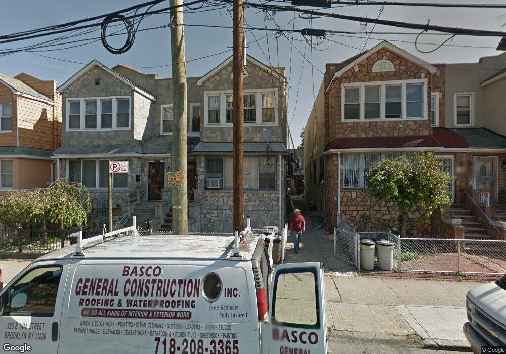
1085 Thomas S Boyland St Brooklyn, NY 11236
Brownsville NeighborhoodEstimated Value: $714,986 - $1,001,000
--
Bed
--
Bath
2,224
Sq Ft
$405/Sq Ft
Est. Value
About This Home
This home is located at 1085 Thomas S Boyland St, Brooklyn, NY 11236 and is currently estimated at $900,997, approximately $405 per square foot. 1085 Thomas S Boyland St is a home located in Kings County with nearby schools including P.S. 233 The Langston Hughes School, Uncommon Brownsville South Elementary School and Middle School, and New American Academy Charter School.
Ownership History
Date
Name
Owned For
Owner Type
Purchase Details
Closed on
Jan 9, 2018
Sold by
Estate Of Francine Guthrie and Undine Guthrie-Grant Successor Executor
Bought by
Guthrie Lorna M and Guthrie Undine
Current Estimated Value
Home Financials for this Owner
Home Financials are based on the most recent Mortgage that was taken out on this home.
Original Mortgage
$110,006
Outstanding Balance
$92,832
Interest Rate
3.94%
Mortgage Type
New Conventional
Estimated Equity
$808,165
Purchase Details
Closed on
Jan 25, 2001
Sold by
Guthrie Victor
Bought by
Guthrie Francine
Create a Home Valuation Report for This Property
The Home Valuation Report is an in-depth analysis detailing your home's value as well as a comparison with similar homes in the area
Home Values in the Area
Average Home Value in this Area
Purchase History
| Date | Buyer | Sale Price | Title Company |
|---|---|---|---|
| Guthrie Lorna M | -- | -- | |
| Guthrie Lorna M | -- | -- | |
| Guthrie Francine | -- | -- | |
| Guthrie Francine | -- | -- |
Source: Public Records
Mortgage History
| Date | Status | Borrower | Loan Amount |
|---|---|---|---|
| Open | Guthrie Lorna M | $110,006 | |
| Closed | Guthrie Lorna M | $110,006 |
Source: Public Records
Tax History Compared to Growth
Tax History
| Year | Tax Paid | Tax Assessment Tax Assessment Total Assessment is a certain percentage of the fair market value that is determined by local assessors to be the total taxable value of land and additions on the property. | Land | Improvement |
|---|---|---|---|---|
| 2025 | $5,008 | $49,560 | $14,760 | $34,800 |
| 2024 | $5,008 | $51,960 | $14,760 | $37,200 |
| 2023 | $4,780 | $50,340 | $14,760 | $35,580 |
| 2022 | $4,434 | $45,240 | $14,760 | $30,480 |
| 2021 | $4,410 | $36,120 | $14,760 | $21,360 |
| 2020 | $3,308 | $40,140 | $14,760 | $25,380 |
| 2019 | $4,347 | $40,140 | $14,760 | $25,380 |
| 2018 | $3,999 | $19,615 | $8,710 | $10,905 |
| 2017 | $3,474 | $18,511 | $8,264 | $10,247 |
| 2016 | $3,181 | $17,464 | $7,125 | $10,339 |
| 2015 | $1,886 | $17,464 | $9,204 | $8,260 |
| 2014 | $1,886 | $17,317 | $8,820 | $8,497 |
Source: Public Records
Map
Nearby Homes
- 1041 Thomas S Boyland St
- 637 Rockaway Pkwy
- 609 E 96th St
- 9508 Avenue B
- 731 E 95th St
- 664 Osborn St Unit 1
- 922 Rockaway Ave
- 9420 Avenue B
- 546 Bristol St
- 923 Rockaway Ave
- 124 Lott Ave
- 632 Osborn St
- 539 E 96th St Unit 4
- 533 E 96th St Unit 4
- 587 Osborn St
- 524 Chester St
- 577 E 94th St
- 625 E 93rd St
- 892 Mother Gaston Blvd
- 9603 Church Ave
- 1083 Thomas S Boyland St
- 1089 Thomas S Boyland St
- 1079 Thomas S Boyland St
- 1091 Thomas S Boyland St
- 1077 Thomas S Boyland St
- 1095 Thomas S Boyland St
- 1097 Thomas S Boyland St
- 1073 Thomas S Boyland St Unit FLR 2
- 1073 Thomas S Boyland St
- 694 Bristol St
- 696 Bristol St
- 690 Bristol St
- 700 Bristol St
- 688 Bristol St
- 1071 Thomas S Boyland St
- 1101 Thomas S Boyland St
- 702 Bristol St
- 706 Bristol St
- 1067 Thomas S Boyland St
- 1067 S Thomas Boyland St