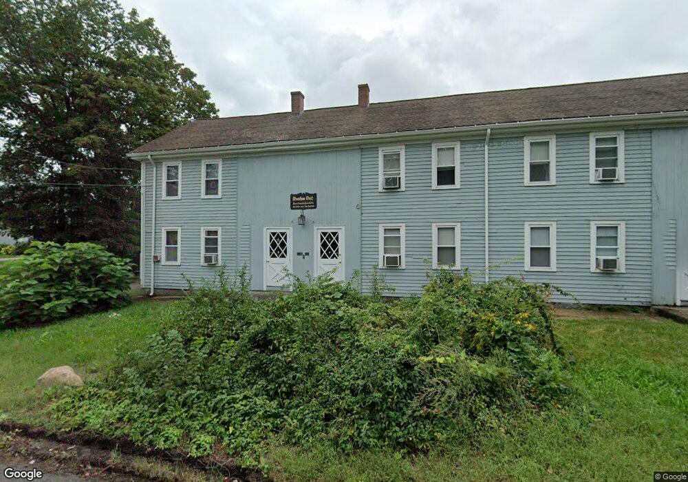
1085 West St Wrentham, MA 02093
West Wrentham Neighborhood
8
Beds
8
Baths
5,460
Sq Ft
0.88
Acres
About This Home
This home is located at 1085 West St, Wrentham, MA 02093. 1085 West St is a home located in Norfolk County with nearby schools including Delaney Elementary School, Charles E Roderick, and Mercymount Country Day School.
Create a Home Valuation Report for This Property
The Home Valuation Report is an in-depth analysis detailing your home's value as well as a comparison with similar homes in the area
Home Values in the Area
Average Home Value in this Area
Tax History
| Year | Tax Paid | Tax Assessment Tax Assessment Total Assessment is a certain percentage of the fair market value that is determined by local assessors to be the total taxable value of land and additions on the property. | Land | Improvement |
|---|---|---|---|---|
| 2025 | $8,079 | $697,100 | $258,600 | $438,500 |
| 2024 | $8,168 | $680,700 | $258,600 | $422,100 |
| 2023 | $8,294 | $657,200 | $235,100 | $422,100 |
| 2022 | $7,998 | $585,100 | $228,600 | $356,500 |
| 2021 | $8,023 | $570,200 | $213,700 | $356,500 |
| 2020 | $6,551 | $459,700 | $188,100 | $271,600 |
| 2019 | $6,491 | $459,700 | $188,100 | $271,600 |
| 2018 | $8,053 | $565,500 | $250,800 | $314,700 |
| 2017 | $7,890 | $553,700 | $246,000 | $307,700 |
| 2016 | $7,741 | $542,100 | $240,000 | $302,100 |
| 2015 | $7,857 | $524,500 | $232,800 | $291,700 |
| 2014 | $7,875 | $514,400 | $228,000 | $286,400 |
Source: Public Records
Map
Nearby Homes
- 1129 West St
- 1092 West St
- 1075 West St
- 1075 West St Unit "A"
- 1075 West St Unit "B":
- 1100 West St
- 1098 West St Unit 4
- 1098 West St Unit 3
- 1098 West St Unit 2
- 1098 West St Unit 1
- 1084 West St
- 1063 West St Unit A
- 1063 West St Unit C
- 1063 West St Unit 3
- 1063 West St Unit 1
- 1063 West St Unit 2
- 1063 West St
- 4 Mirror Island
- 1053 West St
- 1070 West St
Your Personal Tour Guide
Ask me questions while you tour the home.