10850 Walnut St Glouster, OH 45732
Estimated Value: $156,676 - $193,000
3
Beds
2
Baths
1,436
Sq Ft
$124/Sq Ft
Est. Value
About This Home
This home is located at 10850 Walnut St, Glouster, OH 45732 and is currently estimated at $177,669, approximately $123 per square foot. 10850 Walnut St is a home located in Athens County with nearby schools including Trimble Elementary School, Trimble Middle School, and Trimble High School.
Ownership History
Date
Name
Owned For
Owner Type
Purchase Details
Closed on
Apr 5, 2007
Sold by
Philpot Stanley and Philpot Terri
Bought by
Daniel Randy L
Current Estimated Value
Home Financials for this Owner
Home Financials are based on the most recent Mortgage that was taken out on this home.
Original Mortgage
$79,900
Outstanding Balance
$48,177
Interest Rate
6.19%
Mortgage Type
Purchase Money Mortgage
Estimated Equity
$129,492
Purchase Details
Closed on
Jun 2, 2005
Sold by
Foss Ramona P
Bought by
Philpot Stanley and Philpot Terri
Home Financials for this Owner
Home Financials are based on the most recent Mortgage that was taken out on this home.
Original Mortgage
$60,040
Interest Rate
6.5%
Mortgage Type
Adjustable Rate Mortgage/ARM
Purchase Details
Closed on
Aug 14, 2000
Sold by
Foss Jeffrey L
Bought by
Foss Ramona P
Purchase Details
Closed on
Mar 7, 1996
Sold by
Hamill Thomas M and Hamill Janice T
Bought by
Foss Jeffrey L
Create a Home Valuation Report for This Property
The Home Valuation Report is an in-depth analysis detailing your home's value as well as a comparison with similar homes in the area
Purchase History
| Date | Buyer | Sale Price | Title Company |
|---|---|---|---|
| Daniel Randy L | $79,900 | Secure Title Services | |
| Philpot Stanley | $48,300 | None Available | |
| Foss Ramona P | -- | -- | |
| Foss Jeffrey L | $32,000 | -- |
Source: Public Records
Mortgage History
| Date | Status | Borrower | Loan Amount |
|---|---|---|---|
| Open | Daniel Randy L | $79,900 | |
| Previous Owner | Philpot Stanley | $60,040 |
Source: Public Records
Tax History
| Year | Tax Paid | Tax Assessment Tax Assessment Total Assessment is a certain percentage of the fair market value that is determined by local assessors to be the total taxable value of land and additions on the property. | Land | Improvement |
|---|---|---|---|---|
| 2024 | $1,995 | $26,560 | $2,200 | $24,360 |
| 2023 | $1,278 | $26,560 | $2,200 | $24,360 |
| 2022 | $1,143 | $22,570 | $2,200 | $20,370 |
| 2021 | $1,165 | $22,570 | $2,200 | $20,370 |
| 2020 | $1,135 | $22,570 | $2,200 | $20,370 |
| 2019 | $1,105 | $21,070 | $1,960 | $19,110 |
| 2018 | $1,200 | $21,070 | $1,960 | $19,110 |
| 2017 | $1,203 | $21,070 | $1,960 | $19,110 |
| 2016 | $1,153 | $19,660 | $1,960 | $17,700 |
| 2015 | $1,536 | $19,660 | $1,960 | $17,700 |
| 2014 | $1,536 | $19,660 | $1,960 | $17,700 |
| 2013 | $1,488 | $21,290 | $1,860 | $19,430 |
Source: Public Records
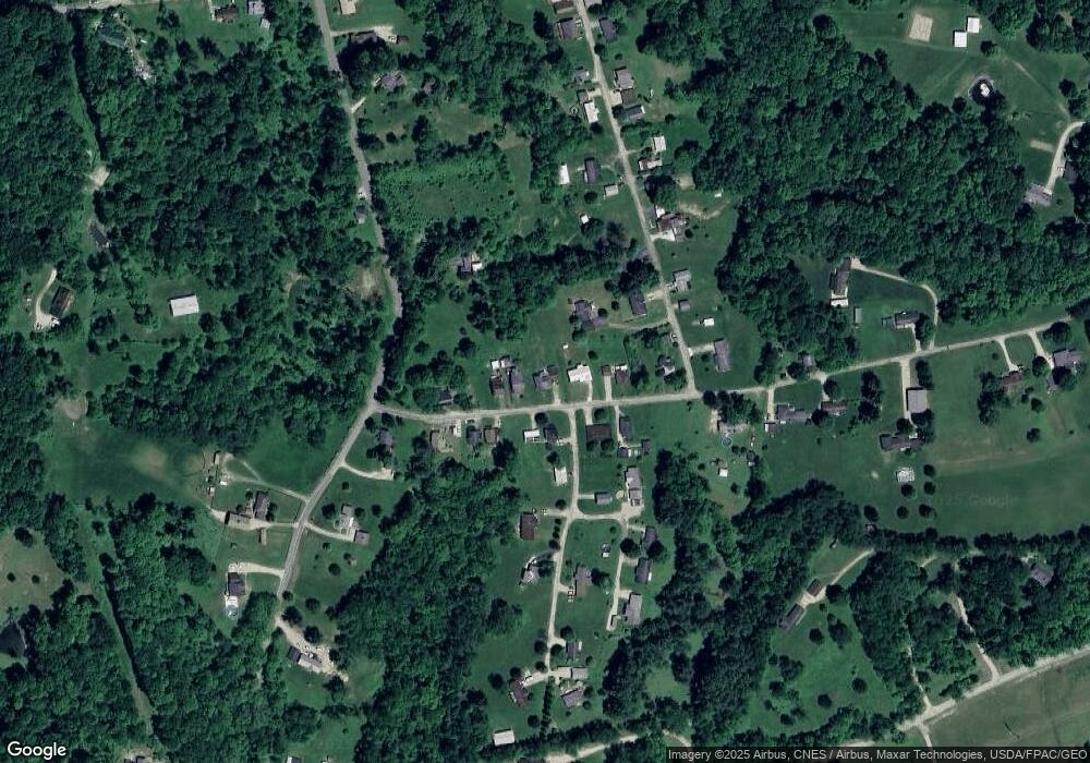
Map
Nearby Homes
- 10850 Walnut St
- 10834 Walnut St
- 10847 Walnut St
- 10822 Walnut St
- 10891 Walnut St
- 10900 Walnut St
- 20530 Highland Ave
- 10790 Walnut St
- 10817 Walnut St
- 10817 Walnut St
- 10905 Walnut St
- 11301 Walnut St
- 20540 Highland Ave
- 10938 Walnut St
- 44 Walnut St
- 158 Allen Rd
- 20558 Highland Ave
- 20558 Highland Ave
- 20498 Highland Ave
- 11331 Walnut Hill Rd
Your Personal Tour Guide
Ask me questions while you tour the home.