Estimated Value: $667,000 - $748,000
4
Beds
5
Baths
3,462
Sq Ft
$199/Sq Ft
Est. Value
About This Home
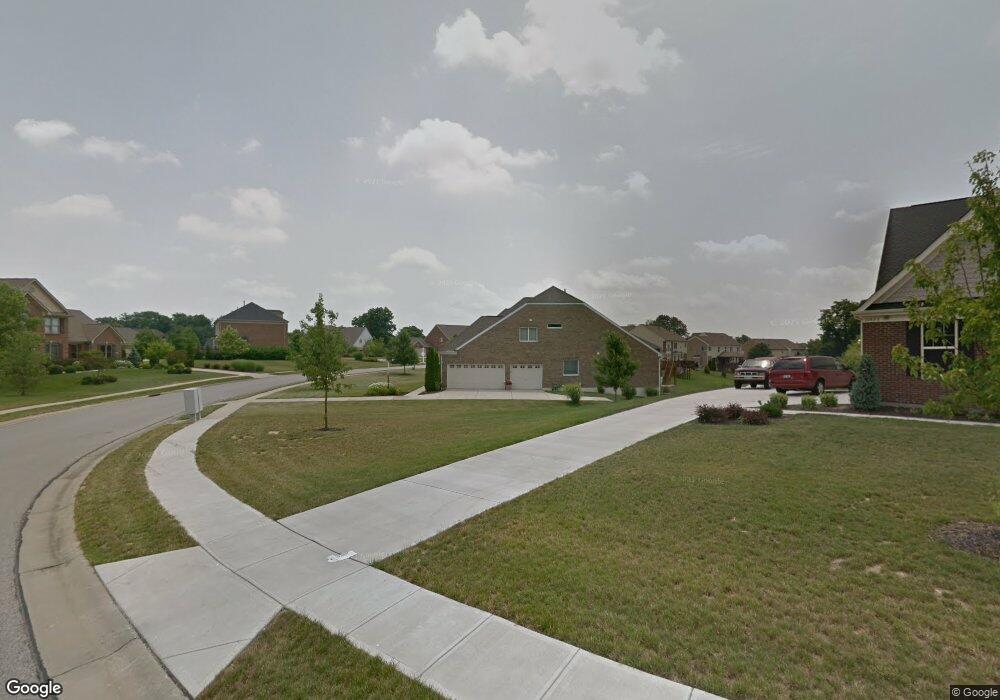
This home is located at 10855 Arcaro Ln Unit LOT61, Union, KY 41091 and is currently estimated at $689,213, approximately $199 per square foot. 10855 Arcaro Ln Unit LOT61 is a home located in Boone County with nearby schools including Shirley Mann Elementary School, Gray Middle School, and Larry A. Ryle High School.
Ownership History
Date
Name
Owned For
Owner Type
Purchase Details
Closed on
Apr 21, 2025
Sold by
Moore Daryl R and Moore Kerri
Bought by
Forsman Keith
Current Estimated Value
Home Financials for this Owner
Home Financials are based on the most recent Mortgage that was taken out on this home.
Original Mortgage
$506,250
Outstanding Balance
$504,003
Interest Rate
6.65%
Mortgage Type
VA
Estimated Equity
$185,210
Purchase Details
Closed on
Oct 26, 2011
Sold by
Fischer Single Family Homes Ii L L C
Bought by
Moore Daryl R and Moore Kerri
Home Financials for this Owner
Home Financials are based on the most recent Mortgage that was taken out on this home.
Original Mortgage
$300,317
Interest Rate
4.09%
Mortgage Type
New Conventional
Purchase Details
Closed on
Jun 24, 2011
Sold by
Triple Crown Developers Llc
Bought by
Fischer Single Family Homes Ii L L C
Create a Home Valuation Report for This Property
The Home Valuation Report is an in-depth analysis detailing your home's value as well as a comparison with similar homes in the area
Home Values in the Area
Average Home Value in this Area
Purchase History
| Date | Buyer | Sale Price | Title Company |
|---|---|---|---|
| Forsman Keith | $660,000 | Lawyers Title | |
| Forsman Keith | $660,000 | Lawyers Title | |
| Moore Daryl R | $376,927 | Homestead Title Agency Ltd | |
| Fischer Single Family Homes Ii L L C | $49,000 | None Available |
Source: Public Records
Mortgage History
| Date | Status | Borrower | Loan Amount |
|---|---|---|---|
| Open | Forsman Keith | $506,250 | |
| Closed | Forsman Keith | $506,250 | |
| Previous Owner | Moore Daryl R | $300,317 |
Source: Public Records
Tax History Compared to Growth
Tax History
| Year | Tax Paid | Tax Assessment Tax Assessment Total Assessment is a certain percentage of the fair market value that is determined by local assessors to be the total taxable value of land and additions on the property. | Land | Improvement |
|---|---|---|---|---|
| 2024 | $4,751 | $425,700 | $60,000 | $365,700 |
| 2023 | $4,844 | $425,700 | $60,000 | $365,700 |
| 2022 | $4,779 | $425,700 | $60,000 | $365,700 |
| 2021 | $4,864 | $425,700 | $60,000 | $365,700 |
| 2020 | $4,315 | $376,930 | $49,000 | $327,930 |
| 2019 | $4,366 | $376,930 | $49,000 | $327,930 |
| 2018 | $4,376 | $376,930 | $49,000 | $327,930 |
| 2017 | $4,301 | $376,930 | $49,000 | $327,930 |
| 2015 | $4,248 | $376,930 | $49,000 | $327,930 |
| 2013 | -- | $376,930 | $49,000 | $327,930 |
Source: Public Records
Map
Nearby Homes
- 10869 Arcaro Ln
- 1018 Whirlaway Dr
- 10819 Sawgrass Ct
- 10807 Doral Ct
- 10730 Stone St
- 10880 Saint Andrews Dr
- 10713 Stone St
- 1049 Swale Ct
- 6800 Green Isle Ln
- 815 Devin Ct
- 1042 Spectacular Bid Dr
- 952 Dustwhirl Dr
- 1052 Aristides Dr
- 10723 Saint Leger Cir
- 10567 Secretariat Run
- 10605 Pimlico Park
- 1655 Frogtown Rd
- 10007 Glensprings Place
- 658 Coaltown Ct
- 757 Gallant Fox Ln
- 10859 Arcaro Ln
- 10843 Arcaro Ln
- 10863 Arcaro Ln
- 10863 Arcaro Dr
- 10846 Arcaro Ln
- 10846 Arcaro Ln Unit 48
- 10850 Arcaro Ln
- 10850 Arcaro Ln Unit 47
- 831 Tim Tam Ct
- 10854 Arcaro Ln
- 10838 Arcaro Ln
- 10869 Arcaro Ln Unit 64
- 951 Cannonade Ct
- 817 Johnstown Ct Unit 42
- 10830 Arcaro Ln
- 10830 Arcaro Ln Unit 50
- 805 Johnstown Ct
- 835 Tim Tam Ct
- 10918 Riley Rd
- 10918 Riley Rd Unit 13