10855 Castor Rd New Concord, OH 43762
Estimated Value: $415,000 - $515,599
4
Beds
2
Baths
1,888
Sq Ft
$246/Sq Ft
Est. Value
About This Home
This home is located at 10855 Castor Rd, New Concord, OH 43762 and is currently estimated at $465,300, approximately $246 per square foot. 10855 Castor Rd is a home located in Muskingum County with nearby schools including New Concord Elementary School, East Muskingum Middle School, and Larry Miller Intermediate Elementary School.
Ownership History
Date
Name
Owned For
Owner Type
Purchase Details
Closed on
May 28, 2008
Sold by
Miller Eli J and Miller Lydia E
Bought by
Miller Marvin J and Hostetler Amanda A
Current Estimated Value
Home Financials for this Owner
Home Financials are based on the most recent Mortgage that was taken out on this home.
Original Mortgage
$48,700
Outstanding Balance
$31,251
Interest Rate
6.05%
Mortgage Type
Purchase Money Mortgage
Estimated Equity
$434,049
Purchase Details
Closed on
Jan 15, 2005
Sold by
Miller Eli J and Miller Lydia E
Bought by
Miller Eli J and Miller Lydia E
Purchase Details
Closed on
Aug 7, 1998
Sold by
Mcclain John E
Bought by
Miller Eli J and Miller Lydia E
Create a Home Valuation Report for This Property
The Home Valuation Report is an in-depth analysis detailing your home's value as well as a comparison with similar homes in the area
Home Values in the Area
Average Home Value in this Area
Purchase History
| Date | Buyer | Sale Price | Title Company |
|---|---|---|---|
| Miller Marvin J | $27,433 | Attorney | |
| Miller Eli J | -- | -- | |
| Miller Eli J | $28,500 | -- |
Source: Public Records
Mortgage History
| Date | Status | Borrower | Loan Amount |
|---|---|---|---|
| Open | Miller Marvin J | $48,700 |
Source: Public Records
Tax History Compared to Growth
Tax History
| Year | Tax Paid | Tax Assessment Tax Assessment Total Assessment is a certain percentage of the fair market value that is determined by local assessors to be the total taxable value of land and additions on the property. | Land | Improvement |
|---|---|---|---|---|
| 2024 | $3,987 | $144,760 | $34,230 | $110,530 |
| 2023 | $6,403 | $110,285 | $26,355 | $83,930 |
| 2022 | $2,100 | $80,220 | $26,355 | $53,865 |
| 2021 | $2,075 | $80,220 | $26,355 | $53,865 |
| 2020 | $1,984 | $72,975 | $23,940 | $49,035 |
| 2019 | $1,974 | $72,975 | $23,940 | $49,035 |
| 2018 | $1,008 | $72,975 | $23,940 | $49,035 |
| 2017 | $2,076 | $59,255 | $11,655 | $47,600 |
| 2016 | $2,080 | $59,260 | $11,660 | $47,600 |
| 2015 | $2,132 | $59,260 | $11,660 | $47,600 |
| 2013 | $1,943 | $53,310 | $11,660 | $41,650 |
Source: Public Records
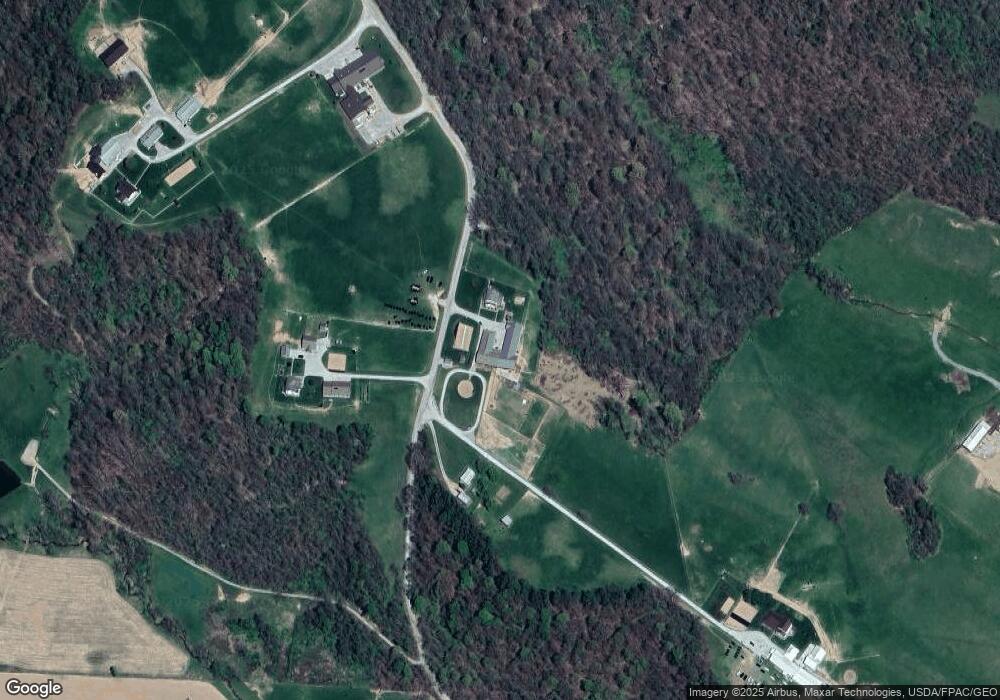
Map
Nearby Homes
- 14240 Cr 410 Lot# 58
- 6825 Barr Rd
- 2250 Indian Camp Run Rd
- 5580 Friendship Dr
- 68477 Geese Rd
- 0 Norfield Unit 5124761
- 67655 Geese Rd
- 0 Geese Rd
- 7255 Mitchell Ln
- 16286 Ohio 93
- 3688 Indian Camp Run Rd
- 16386 Township Road 118
- 7855 East St
- 64895 Lovers Lane Rd
- 16842 Township Road 118
- 2895 N Moose Eye Rd
- 49694 Township Road 146
- 203 Main St
- 17418 Tr 118
- 17567 Township Road 278
- 11500 Castor Rd
- 10525 Castor Rd
- 10725 Castor Rd
- 11295 Adamsville Otsego Rd
- 11295 Adamsville Otsego Rd
- 10370 Castor Rd
- 11015 Adamsville Otsego Rd
- 11080 Adamsville Otsego Rd
- 10340 Castor Rd
- 12500 Coshocton Rd
- 11000 Adamsville Otsego Rd
- 10299 Castor Rd
- 10280 Castor Rd
- 10280 Castor Rd
- 11695 Welker Dr
- 11695 Welker Dr
- 11695 Welker Dr
- 11695 Welker Dr
- 11695 Welker Dr
- 11505 Friendship Dr