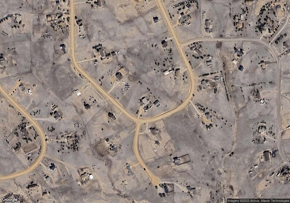
10855 Squawbush Loop Peyton, CO 80831
Estimated Value: $562,000 - $651,000
3
Beds
3
Baths
2,370
Sq Ft
$261/Sq Ft
Est. Value
About This Home
This home is located at 10855 Squawbush Loop, Peyton, CO 80831 and is currently estimated at $619,129, approximately $261 per square foot. 10855 Squawbush Loop is a home located in El Paso County with nearby schools including Bennett Ranch Elementary School, Falcon Middle School, and Falcon High School.
Ownership History
Date
Name
Owned For
Owner Type
Purchase Details
Closed on
Nov 18, 1996
Sold by
Mcfall John E
Bought by
Mcfall John E and Mcfall Marion P
Current Estimated Value
Home Financials for this Owner
Home Financials are based on the most recent Mortgage that was taken out on this home.
Original Mortgage
$110,000
Outstanding Balance
$8,411
Interest Rate
7.84%
Estimated Equity
$610,718
Purchase Details
Closed on
Jun 17, 1996
Sold by
Tillett Ronald W and Tillett Debora R
Bought by
Mcfall John E
Purchase Details
Closed on
May 30, 1990
Bought by
Mcfall John E and Mcfall Marion P
Create a Home Valuation Report for This Property
The Home Valuation Report is an in-depth analysis detailing your home's value as well as a comparison with similar homes in the area
Home Values in the Area
Average Home Value in this Area
Purchase History
| Date | Buyer | Sale Price | Title Company |
|---|---|---|---|
| Mcfall John E | -- | -- | |
| Mcfall John E | $27,500 | Commonwealth Land Title | |
| Mcfall John E | $12,000 | -- |
Source: Public Records
Mortgage History
| Date | Status | Borrower | Loan Amount |
|---|---|---|---|
| Open | Mcfall John E | $110,000 |
Source: Public Records
Tax History Compared to Growth
Tax History
| Year | Tax Paid | Tax Assessment Tax Assessment Total Assessment is a certain percentage of the fair market value that is determined by local assessors to be the total taxable value of land and additions on the property. | Land | Improvement |
|---|---|---|---|---|
| 2025 | $3,096 | $44,240 | -- | -- |
| 2024 | $3,096 | $47,190 | $10,340 | $36,850 |
| 2023 | $2,504 | $47,190 | $10,340 | $36,850 |
| 2022 | $1,247 | $24,910 | $6,500 | $18,410 |
| 2021 | $1,297 | $25,630 | $6,690 | $18,940 |
| 2020 | $1,161 | $23,610 | $5,870 | $17,740 |
| 2019 | $1,150 | $23,610 | $5,870 | $17,740 |
| 2018 | $897 | $19,820 | $4,800 | $15,020 |
| 2017 | $1,290 | $19,820 | $4,800 | $15,020 |
| 2016 | $1,281 | $19,420 | $5,300 | $14,120 |
| 2015 | $1,282 | $19,420 | $5,300 | $14,120 |
| 2014 | $1,307 | $19,430 | $5,390 | $14,040 |
Source: Public Records
Map
Nearby Homes
- 10530 Pictured Rocks Dr
- 10641 Greenbelt Dr
- 10575 Chiming Bell Cir
- 10467 Pictured Rocks Dr
- 10488 Cedar Breaks Dr
- 10950 Rex Rd
- 10489 Cedar Breaks Dr
- 12784 Angelina Dr
- 10429 Cedar Breaks Dr
- 0 Goodson Rd
- 11430 Palmers Green Dr
- 10753 Finsbury Ct
- 10603 Ross Lake Dr
- 10476 Ross Lake Dr
- 11577 Cranston Dr
- 9920 Glenellen Dr
- 10932 Huron Peak Place
- 12144 Point Reyes Dr
- 10442 Beckham St
- 10394 Beckham St
- 10615 Honeyclover Ln
- 10875 Squawbush Loop
- 10795 Squawbush Loop
- 10870 Squawbush Loop
- 10775 Squawbush Loop
- 10610 Honeyclover Ln
- 10890 Squawbush Loop
- 10905 Squawbush Loop
- 17095 Indian Paint Trail
- 10810 Squawbush Loop
- 10565 Honeyclover Ln
- 10780 Squawbush Loop
- 10890 Indian Paint Trail
- 10560 Honeyclover Ln
- 10755 Squawbush Loop
- 10750 Chiming Bell Cir
- 10955 Squawbush Loop
- 10730 Chiming Bell Cir
- 10540 Honeyclover Ln
- 10750 Squawbush Loop
