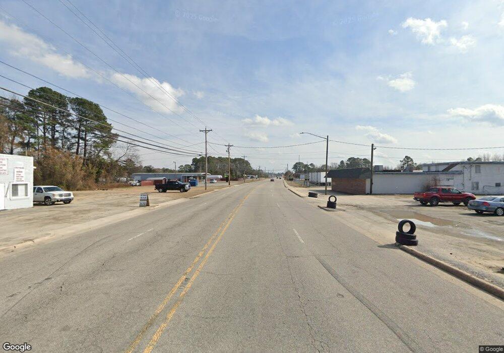
10858 Nc Highway 72 E Lumberton, NC 28358
Estimated Value: $120,000 - $197,000
3
Beds
1
Bath
1,705
Sq Ft
$101/Sq Ft
Est. Value
About This Home
This home is located at 10858 Nc Highway 72 E, Lumberton, NC 28358 and is currently estimated at $172,406, approximately $101 per square foot. 10858 Nc Highway 72 E is a home with nearby schools including Long Branch Elementary School, Parkton Elementary School, and Orrum Middle School.
Ownership History
Date
Name
Owned For
Owner Type
Purchase Details
Closed on
Aug 6, 2021
Sold by
Grimsley Bobbi Lita Burrough and Grimsley Jerry
Bought by
Barnes Stephanie Grimsley and Barnes Jason
Current Estimated Value
Purchase Details
Closed on
Mar 1, 2017
Sold by
Grimsley Bobbi Lita Burrough and Grimsley Jerry
Bought by
Grimsley Bobbi Lita Burrough and Barnes Stephanie Grimsley
Purchase Details
Closed on
Aug 1, 2007
Sold by
Burrough Grimsley Bobbie Lita
Bought by
Burrough Grimsley Bobbie Lita
Create a Home Valuation Report for This Property
The Home Valuation Report is an in-depth analysis detailing your home's value as well as a comparison with similar homes in the area
Home Values in the Area
Average Home Value in this Area
Purchase History
| Date | Buyer | Sale Price | Title Company |
|---|---|---|---|
| Barnes Stephanie Grimsley | -- | None Available | |
| Grimsley Bobbi Lita Burrough | -- | None Available | |
| Burrough Grimsley Bobbie Lita | -- | -- |
Source: Public Records
Tax History Compared to Growth
Tax History
| Year | Tax Paid | Tax Assessment Tax Assessment Total Assessment is a certain percentage of the fair market value that is determined by local assessors to be the total taxable value of land and additions on the property. | Land | Improvement |
|---|---|---|---|---|
| 2025 | $1,273 | $134,500 | $26,400 | $108,100 |
| 2024 | $1,263 | $134,500 | $26,400 | $108,100 |
| 2023 | $841 | $84,800 | $26,500 | $58,300 |
| 2022 | $841 | $84,800 | $26,500 | $58,300 |
| 2021 | $841 | $84,800 | $26,500 | $58,300 |
| 2020 | $811 | $84,800 | $26,500 | $58,300 |
| 2018 | $828 | $56,300 | $2,300 | $54,000 |
| 2017 | $754 | $56,300 | $2,300 | $54,000 |
| 2016 | $754 | $56,300 | $2,300 | $54,000 |
| 2015 | $770 | $56,300 | $2,300 | $54,000 |
| 2014 | $770 | $56,300 | $2,300 | $54,000 |
Source: Public Records
Map
Nearby Homes
- 387 Bourbon St
- 9872 Nc Highway 72 E
- 2067 N Broadridge Rd
- 521 Milan Ave
- 895 Stephens Rd
- 887 Stephens Rd
- 1424 Nye Rd
- 895 N Broadridge Rd
- 727 Rice Rd
- 1334 Rice Rd
- 4306 Old Whiteville Rd
- 0 Antioch (Lot 28) Dr Unit LP719517
- 998 Kite Rd
- 14967 Hwy 72 E
- 6449 Old Whiteville Rd
- 0 Coe Rd
- 0 Willoughby Rd
- 165 Hayden Rd
- 286 Jordan Dr
- 10839 Nc Highway 72 E
- 72 E Ave
- 366 Bourbon St
- 332 Matthews Bluff Rd
- 11215 Nc Highway 72 Hwy E
- 2860 Broadridge Rd
- 303 Bourbon St
- 10430 Nc Highway 72 E
- 134 Israel Dr
- 10386 Nc Highway 72 E
- 11334 Nc Highway 72 E
- 208 Israel Dr
- 729 Wilton Dr
- 223 Israel Dr
- 14 Grandma Ln
- 22 Grandma Ln
- 818 Wilton Dr
- 24 Grandma Ln
- 26 Grandma Ln
- 28 Grandma Ln
