1086 192nd Ave New Richmond, WI 54017
Estimated Value: $302,000 - $346,000
3
Beds
2
Baths
1,012
Sq Ft
$318/Sq Ft
Est. Value
About This Home
This home is located at 1086 192nd Ave, New Richmond, WI 54017 and is currently estimated at $321,671, approximately $317 per square foot. 1086 192nd Ave is a home located in St. Croix County with nearby schools including Somerset Elementary School, Somerset Middle School, and Somerset High School.
Ownership History
Date
Name
Owned For
Owner Type
Purchase Details
Closed on
Oct 13, 2021
Sold by
Zdrazil David C and Zdrazil Arlene G
Bought by
Schisky Colton Bedard
Current Estimated Value
Home Financials for this Owner
Home Financials are based on the most recent Mortgage that was taken out on this home.
Original Mortgage
$249,300
Outstanding Balance
$227,338
Interest Rate
2.8%
Mortgage Type
New Conventional
Estimated Equity
$94,333
Create a Home Valuation Report for This Property
The Home Valuation Report is an in-depth analysis detailing your home's value as well as a comparison with similar homes in the area
Home Values in the Area
Average Home Value in this Area
Purchase History
| Date | Buyer | Sale Price | Title Company |
|---|---|---|---|
| Schisky Colton Bedard | $277,000 | None Available |
Source: Public Records
Mortgage History
| Date | Status | Borrower | Loan Amount |
|---|---|---|---|
| Open | Schisky Colton Bedard | $249,300 |
Source: Public Records
Tax History Compared to Growth
Tax History
| Year | Tax Paid | Tax Assessment Tax Assessment Total Assessment is a certain percentage of the fair market value that is determined by local assessors to be the total taxable value of land and additions on the property. | Land | Improvement |
|---|---|---|---|---|
| 2024 | $22 | $165,200 | $29,100 | $136,100 |
| 2023 | $2,263 | $165,200 | $29,100 | $136,100 |
| 2022 | $1,850 | $165,200 | $29,100 | $136,100 |
| 2021 | $1,901 | $157,000 | $29,100 | $127,900 |
| 2020 | $1,831 | $157,000 | $29,100 | $127,900 |
| 2019 | $1,882 | $157,000 | $29,100 | $127,900 |
| 2018 | $1,845 | $119,000 | $26,300 | $92,700 |
| 2017 | $1,771 | $119,000 | $26,300 | $92,700 |
| 2016 | $1,771 | $119,000 | $26,300 | $92,700 |
| 2015 | $1,674 | $119,000 | $26,300 | $92,700 |
| 2014 | $1,650 | $119,000 | $26,300 | $92,700 |
| 2013 | $1,780 | $119,000 | $26,300 | $92,700 |
Source: Public Records
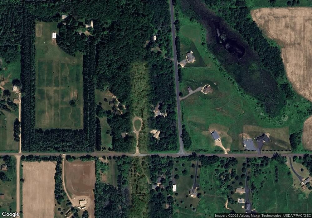
Map
Nearby Homes
- 1256 195th Ave
- XXXX 110th St
- TBD County Road C
- Lot 4 Nighthawk Dr
- Lot 5 Riverdale Ct
- 1787 Saint Andrews Place
- TBD Nighthawk Dr ( Apple River Lot) Lot 9
- TBD Nighthawk Dr ( Apple River Lot) Lot 5
- TBD Nighthawk Dr ( Apple River Lot) Lot 6
- TBD Nighthawk Dr ( Apple River Lot) Lot 4
- TBD Nighthawk Dr ( Apple River Lot) Lot 10
- TBD Nighthawk Dr ( Apple River Lot) Lot 7
- 1777 George Norman Dr
- 1152 County Road C
- 919 189th Ave
- 1269 202nd Ave
- 2118 100th St
- 881 Coleman Dr
- 893 183rd Ct
- 1705 107th St
- 1090 192nd Ave
- 1088 192nd Ave
- 1084 192nd Ave
- 1937 110th St
- 11XX, Lot 3 192nd Ave
- 1106 192nd Ave
- 1944 110th St
- 1097 192nd Ave
- 1101 192nd Ave
- 1080 192nd Ave
- 1114 192nd Ave
- 1107 192nd Ave
- 1093 192nd Ave
- 1077 192nd Ave
- 1076 192nd Ave
- 1074 192nd Ave
- 1069 192nd Ave
- 1121 192nd Ave
- 1943 110th St
- 1067 192nd Ave