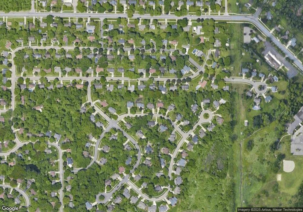
1086 Buckingham Rd Haslett, MI 48840
Estimated Value: $482,495 - $539,000
4
Beds
3
Baths
2,770
Sq Ft
$183/Sq Ft
Est. Value
About This Home
This home is located at 1086 Buckingham Rd, Haslett, MI 48840 and is currently estimated at $506,374, approximately $182 per square foot. 1086 Buckingham Rd is a home located in Ingham County with nearby schools including Haslett High School, St. Martha School, and St Thomas Aquinas School.
Ownership History
Date
Name
Owned For
Owner Type
Purchase Details
Closed on
Aug 15, 2012
Sold by
Kloss Dennis P and Laitinen Kloss Lynn M
Bought by
Kloss Dennis P and Laitinen Kloss Lynn M
Current Estimated Value
Purchase Details
Closed on
Sep 7, 2000
Sold by
Lieberman Development Ltd
Bought by
Kloss Dennis P and Laitinen Kloss Lynn M
Home Financials for this Owner
Home Financials are based on the most recent Mortgage that was taken out on this home.
Original Mortgage
$252,700
Outstanding Balance
$92,361
Interest Rate
8.14%
Mortgage Type
Purchase Money Mortgage
Estimated Equity
$414,013
Purchase Details
Closed on
Feb 29, 2000
Sold by
G S Development Company
Bought by
Lieberman Development Ltd
Create a Home Valuation Report for This Property
The Home Valuation Report is an in-depth analysis detailing your home's value as well as a comparison with similar homes in the area
Home Values in the Area
Average Home Value in this Area
Purchase History
| Date | Buyer | Sale Price | Title Company |
|---|---|---|---|
| Kloss Dennis P | -- | None Available | |
| Kloss Dennis P | $324,900 | -- | |
| Lieberman Development Ltd | $52,283 | Midstate Title Company |
Source: Public Records
Mortgage History
| Date | Status | Borrower | Loan Amount |
|---|---|---|---|
| Open | Kloss Dennis P | $252,700 | |
| Closed | Kloss Dennis P | $39,500 |
Source: Public Records
Tax History Compared to Growth
Tax History
| Year | Tax Paid | Tax Assessment Tax Assessment Total Assessment is a certain percentage of the fair market value that is determined by local assessors to be the total taxable value of land and additions on the property. | Land | Improvement |
|---|---|---|---|---|
| 2025 | $10,230 | $219,600 | $39,300 | $180,300 |
| 2024 | $45 | $210,700 | $38,800 | $171,900 |
| 2023 | $9,640 | $197,400 | $38,200 | $159,200 |
| 2022 | $9,271 | $184,900 | $37,700 | $147,200 |
| 2021 | $9,022 | $177,100 | $34,900 | $142,200 |
| 2020 | $8,859 | $169,400 | $34,900 | $134,500 |
| 2019 | $8,565 | $172,100 | $33,600 | $138,500 |
| 2018 | $8,152 | $173,700 | $27,800 | $145,900 |
| 2017 | $7,789 | $173,400 | $30,400 | $143,000 |
| 2016 | $3,507 | $164,800 | $29,900 | $134,900 |
| 2015 | $3,507 | $163,000 | $54,112 | $108,888 |
| 2014 | $3,507 | $151,800 | $54,632 | $97,168 |
Source: Public Records
Map
Nearby Homes
- 5614 Copper Creek Dr
- 5603 Copper Creek Dr
- 5396 van Atta Rd
- 5560 Strawberry Ln
- 5384 van Atta Rd
- 5837 Carlton St
- 575 Piper Rd
- 5581 Woodville Rd
- 6003 Green Rd
- 5684 Shaw St
- 1235 Woodwind Trail
- 6101 Oak Park Trail
- 0 van Atta Rd
- 5187 Twinging Dr
- 5989 Cypress St
- 161 Germany Rd
- Lot A Lake Lansing Rd
- Lot B Lake Lansing Rd
- 6403 E Reynolds Rd
- 6248 W Reynolds Rd
- 1094 Buckingham Rd
- 1078 Buckingham Rd
- 1075 Woodside Dr
- 1075 W Woodside Dr
- 1083 Woodside Dr
- 1065 Woodside Dr
- 1083 Buckingham Rd
- 1102 Buckingham Rd
- 1064 Buckingham Rd
- 1093 Woodside Dr
- 1055 Woodside Dr
- 1061 Buckingham Rd
- 5594 White Ash
- 5586 White Ash
- 1074 Woodside Dr
- 1103 Woodside Dr
- 5612 White Ash
- 1082 Woodside Dr
- 1064 Woodside Dr
- 1045 Woodside Dr
