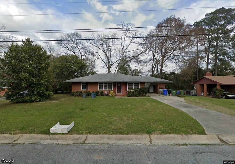
1086 Dunbar Ave Columbus, GA 31906
Lindsey Creek Park-Boxwood Estates NeighborhoodEstimated Value: $101,000 - $133,737
3
Beds
3
Baths
1,428
Sq Ft
$82/Sq Ft
Est. Value
About This Home
This home is located at 1086 Dunbar Ave, Columbus, GA 31906 and is currently estimated at $117,434, approximately $82 per square foot. 1086 Dunbar Ave is a home located in Muscogee County with nearby schools including Rigdon Road Elementary School, Richards Middle School, and Carver High School.
Ownership History
Date
Name
Owned For
Owner Type
Purchase Details
Closed on
Apr 14, 2017
Sold by
Davis Jeffrey E
Bought by
Celestial Amber N
Current Estimated Value
Home Financials for this Owner
Home Financials are based on the most recent Mortgage that was taken out on this home.
Original Mortgage
$52,101
Outstanding Balance
$43,981
Interest Rate
4.75%
Mortgage Type
FHA
Estimated Equity
$73,453
Purchase Details
Closed on
Mar 22, 2007
Sold by
Kennon Gerry and Kennon Melinda
Bought by
Davis Jeffrey E and Davis Joni G
Home Financials for this Owner
Home Financials are based on the most recent Mortgage that was taken out on this home.
Original Mortgage
$75,000
Interest Rate
6.22%
Mortgage Type
Purchase Money Mortgage
Create a Home Valuation Report for This Property
The Home Valuation Report is an in-depth analysis detailing your home's value as well as a comparison with similar homes in the area
Home Values in the Area
Average Home Value in this Area
Purchase History
| Date | Buyer | Sale Price | Title Company |
|---|---|---|---|
| Celestial Amber N | $55,000 | -- | |
| Davis Jeffrey E | $101,900 | None Available |
Source: Public Records
Mortgage History
| Date | Status | Borrower | Loan Amount |
|---|---|---|---|
| Open | Celestial Amber N | $52,101 | |
| Previous Owner | Davis Jeffrey E | $75,000 |
Source: Public Records
Tax History Compared to Growth
Tax History
| Year | Tax Paid | Tax Assessment Tax Assessment Total Assessment is a certain percentage of the fair market value that is determined by local assessors to be the total taxable value of land and additions on the property. | Land | Improvement |
|---|---|---|---|---|
| 2025 | $345 | $38,324 | $7,896 | $30,428 |
| 2024 | $344 | $38,324 | $7,896 | $30,428 |
| 2023 | $18 | $38,324 | $7,896 | $30,428 |
| 2022 | $358 | $22,100 | $7,896 | $14,204 |
| 2021 | $352 | $19,376 | $7,896 | $11,480 |
| 2020 | $352 | $19,376 | $7,896 | $11,480 |
| 2019 | $355 | $19,376 | $7,896 | $11,480 |
| 2018 | $355 | $22,000 | $5,200 | $16,800 |
| 2017 | $1,370 | $33,344 | $7,896 | $25,448 |
| 2016 | $1,767 | $42,840 | $5,120 | $37,720 |
| 2015 | $1,769 | $42,840 | $5,120 | $37,720 |
| 2014 | $1,771 | $42,840 | $5,120 | $37,720 |
| 2013 | -- | $42,840 | $5,120 | $37,720 |
Source: Public Records
Map
Nearby Homes
- 1061 Dunbar Ave
- 3122 Glenwood Dr
- 1047 Fisk Ave
- 1312 Glenwood Rd
- 1301 Rigdon Rd
- 937 Diggs Ave
- 3319 Decatur St
- 2902 Hood St
- 2925 Colorado St
- 3570 Stratford Dr
- 2937 Thomas St
- 2726 Marion St
- 2911 Thomas St
- 2835 Thomas St
- 2833 Thomas St
- 2916 Gardenia St
- 3415 Terminal St
- 2829 Thomas St
- 1310 S Dixon Dr
- 3414 Terminal St
- 1080 Dunbar Ave
- 1092 Dunbar Ave
- 1099 W Lindsay Dr
- 1093 W Lindsay Dr
- 1103 W Lindsay Dr
- 1104 Dunbar Ave
- 1074 Dunbar Ave
- 1085 Dunbar Ave
- 1091 Dunbar Ave
- 1087 W Lindsay Dr
- 1077 Dunbar Ave
- 1109 W Lindsay Dr
- 1107 Dunbar Ave
- 1068 Dunbar Ave
- 1110 Dunbar Ave
- 1071 Dunbar Ave
- 1081 W Lindsay Dr
- 1117 W Lindsay Dr
- 1109 Dunbar Ave
- 1064 Bolton Ave