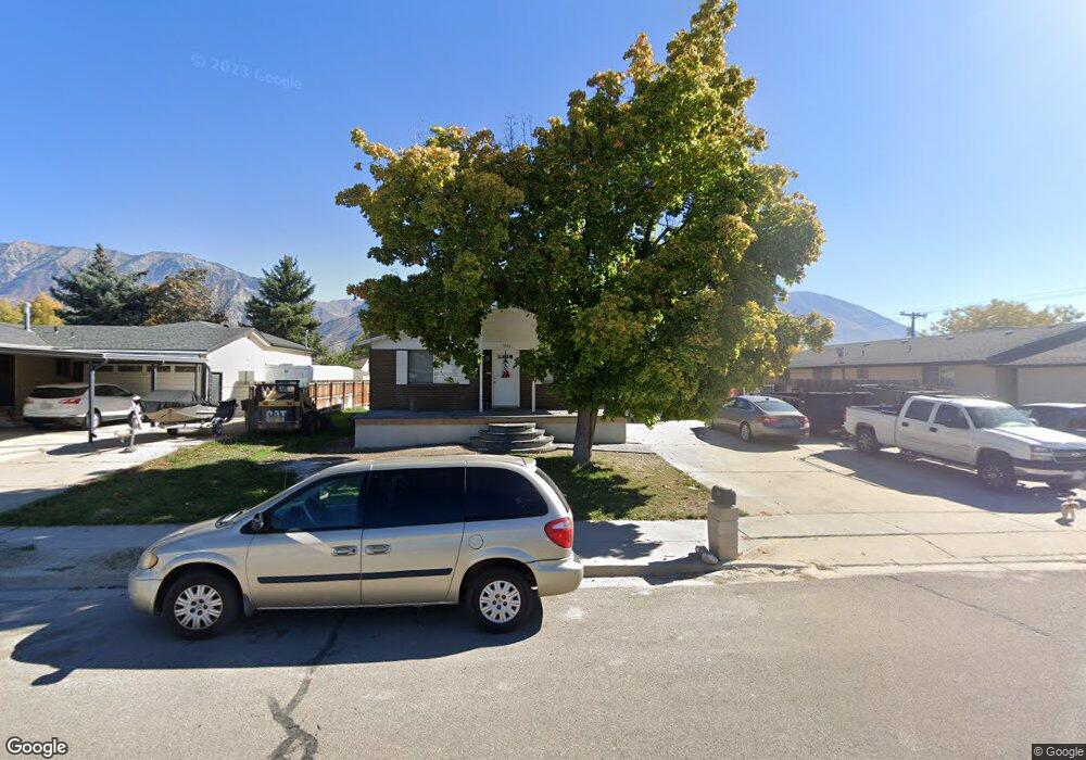
1086 N 1350 W Provo, UT 84604
Grandview South NeighborhoodEstimated Value: $475,000 - $548,000
4
Beds
2
Baths
2,288
Sq Ft
$229/Sq Ft
Est. Value
About This Home
This home is located at 1086 N 1350 W, Provo, UT 84604 and is currently estimated at $524,647, approximately $229 per square foot. 1086 N 1350 W is a home located in Utah County with nearby schools including Westridge Elementary School, Dixon Middle School, and Provo High School.
Ownership History
Date
Name
Owned For
Owner Type
Purchase Details
Closed on
Nov 10, 2015
Sold by
Ashbyb Krisann H
Bought by
Toutai William
Current Estimated Value
Purchase Details
Closed on
Mar 22, 2002
Sold by
Ashby Krisann H and Ashby Kris Ann
Bought by
Ashby Krisann H
Home Financials for this Owner
Home Financials are based on the most recent Mortgage that was taken out on this home.
Original Mortgage
$96,600
Interest Rate
6.85%
Purchase Details
Closed on
Mar 15, 2002
Sold by
Ashby Kim Burton
Bought by
Ashby Kris Ann
Home Financials for this Owner
Home Financials are based on the most recent Mortgage that was taken out on this home.
Original Mortgage
$96,600
Interest Rate
6.85%
Create a Home Valuation Report for This Property
The Home Valuation Report is an in-depth analysis detailing your home's value as well as a comparison with similar homes in the area
Home Values in the Area
Average Home Value in this Area
Purchase History
| Date | Buyer | Sale Price | Title Company |
|---|---|---|---|
| Toutai William | -- | Greenbrier Title Ins Ag | |
| Ashby Krisann H | -- | Greenbrier Title Ins Ag | |
| Ashby Krisann H | -- | Guardian Title Ins Agency | |
| Ashby Kris Ann | -- | -- |
Source: Public Records
Mortgage History
| Date | Status | Borrower | Loan Amount |
|---|---|---|---|
| Previous Owner | Ashby Krisann H | $96,600 |
Source: Public Records
Tax History Compared to Growth
Tax History
| Year | Tax Paid | Tax Assessment Tax Assessment Total Assessment is a certain percentage of the fair market value that is determined by local assessors to be the total taxable value of land and additions on the property. | Land | Improvement |
|---|---|---|---|---|
| 2025 | $2,359 | $265,540 | $168,800 | $314,000 |
| 2024 | $2,359 | $232,210 | $0 | $0 |
| 2023 | $2,319 | $225,060 | $0 | $0 |
| 2022 | $2,210 | $216,260 | $0 | $0 |
| 2021 | $1,676 | $286,000 | $107,100 | $178,900 |
| 2020 | $1,616 | $258,600 | $97,400 | $161,200 |
| 2019 | $1,428 | $237,600 | $97,400 | $140,200 |
| 2018 | $1,258 | $212,300 | $90,400 | $121,900 |
| 2017 | $1,176 | $109,010 | $0 | $0 |
| 2016 | $1,217 | $105,160 | $0 | $0 |
| 2015 | $1,308 | $114,290 | $0 | $0 |
| 2014 | $1,087 | $99,000 | $0 | $0 |
Source: Public Records
Map
Nearby Homes