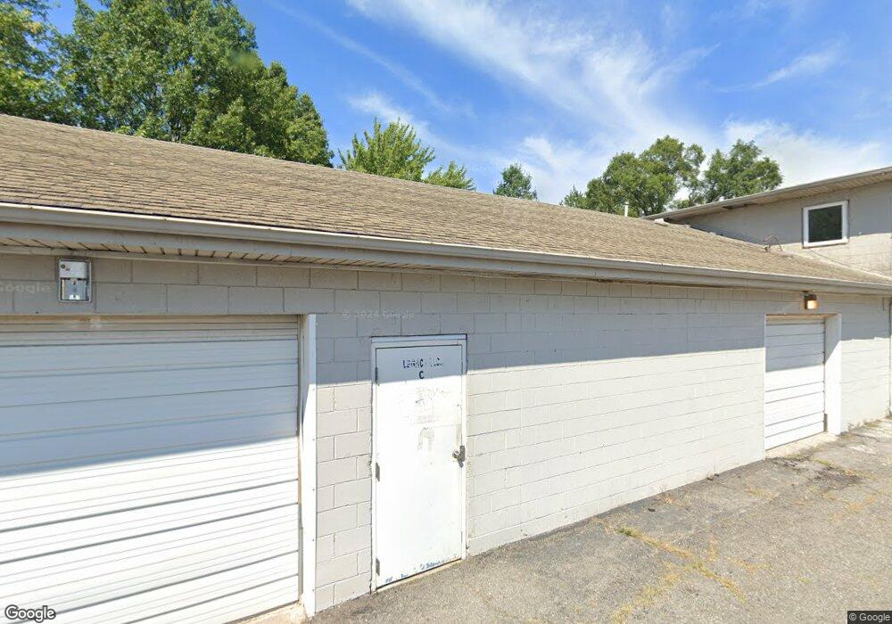
1086 N State Road 149 Unit C&D Chesterton, IN 46304
Estimated Value: $548,618
--
Bed
--
Bath
3,200
Sq Ft
$171/Sq Ft
Est. Value
About This Home
This home is located at 1086 N State Road 149 Unit C&D, Chesterton, IN 46304 and is currently estimated at $548,618, approximately $171 per square foot. 1086 N State Road 149 Unit C&D is a home located in Porter County with nearby schools including Ethel R Jones Elementary School, Willowcreek Middle School, and Portage High School.
Ownership History
Date
Name
Owned For
Owner Type
Purchase Details
Closed on
Apr 22, 2022
Sold by
Skipco Llc
Bought by
Precision Re Holdings Llc
Current Estimated Value
Purchase Details
Closed on
Dec 23, 2020
Sold by
Rau Robert
Bought by
Skipco Llc
Home Financials for this Owner
Home Financials are based on the most recent Mortgage that was taken out on this home.
Original Mortgage
$335,000
Interest Rate
2.7%
Mortgage Type
Credit Line Revolving
Purchase Details
Closed on
Nov 20, 2012
Sold by
Rau Robert
Bought by
Land Mark Sign Group
Purchase Details
Closed on
Feb 28, 2011
Sold by
Ib Property Holdings Llc
Bought by
Rau Robert
Create a Home Valuation Report for This Property
The Home Valuation Report is an in-depth analysis detailing your home's value as well as a comparison with similar homes in the area
Home Values in the Area
Average Home Value in this Area
Purchase History
| Date | Buyer | Sale Price | Title Company |
|---|---|---|---|
| Precision Re Holdings Llc | $499,900 | Chicago Title | |
| Skipco Llc | -- | Greater Indiana Title Co | |
| Land Mark Sign Group | -- | None Available | |
| Rau Robert | -- | Meridian Title Corp |
Source: Public Records
Mortgage History
| Date | Status | Borrower | Loan Amount |
|---|---|---|---|
| Previous Owner | Skipco Llc | $335,000 |
Source: Public Records
Tax History Compared to Growth
Tax History
| Year | Tax Paid | Tax Assessment Tax Assessment Total Assessment is a certain percentage of the fair market value that is determined by local assessors to be the total taxable value of land and additions on the property. | Land | Improvement |
|---|---|---|---|---|
| 2024 | $4,890 | $200,000 | $74,300 | $125,700 |
| 2023 | $4,454 | $188,500 | $74,300 | $114,200 |
| 2022 | $4,434 | $166,200 | $74,300 | $91,900 |
| 2021 | $4,041 | $147,600 | $74,300 | $73,300 |
| 2020 | $4,149 | $147,600 | $74,300 | $73,300 |
| 2019 | $4,225 | $149,400 | $74,300 | $75,100 |
| 2018 | $4,243 | $149,400 | $74,300 | $75,100 |
| 2017 | $3,899 | $148,400 | $74,300 | $74,100 |
| 2016 | $3,874 | $141,700 | $73,800 | $67,900 |
| 2014 | $3,902 | $136,500 | $70,400 | $66,100 |
| 2013 | -- | $142,700 | $77,100 | $65,600 |
Source: Public Records
Map
Nearby Homes
- 2472 Springdale St
- 2513 Springdale St
- V/L U S 20
- 2141 Larchwood Ave
- The Duneland Plan at Village in Burns Harbor
- TBD Lenburg Rd
- 0-TBD Lenburg Rd
- 2131 Pepperbush Ave
- 1151 Burns Blvd
- 357 Melton Rd
- 1138 Weaver Way
- 1136 Weaver Way
- 0 Burns Blvd
- 1609 Melanie Ln
- 283 Melton Rd
- 1162 Chesterfield Ave
- 376 Melton Rd
- 326 Clifford Way
- 1164 Tanya St
- 0 St Rd 149 Unit NRA824925
- 1086 N State Road 149
- 1086 N State Road 149 Unit A
- 1086 Max Mochal Hwy
- 2100 N St Road 149
- 1086 Saint Road 149
- 2100 N State Road 149
- 1087 Saint Road 149
- 1089 Saint Road 149
- 1087 N St
- 1087 N St Rd
- 1087 N State Rd
- 1087 N State Road 149
- 1089 N State Road 149
- 1089 N St
- 1089 N St Rd
- 1089 N State Rd
- 1085 N State Road 149
- 1085 N St
- 1085 N St Rd
- 1085 N State Rd