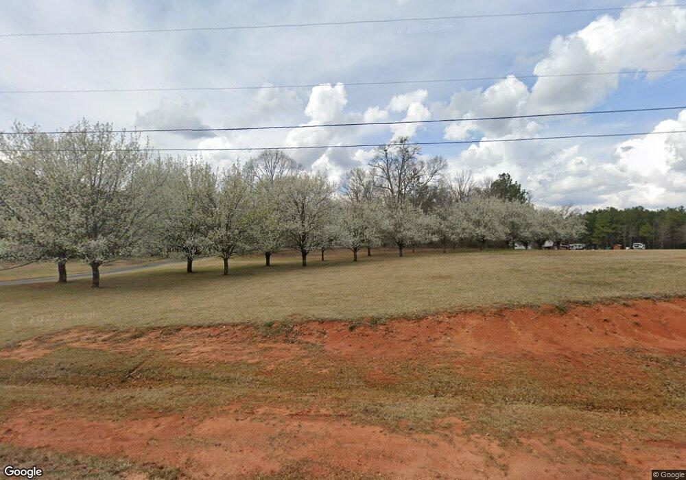
1086 S Bethany Rd McDonough, GA 30252
Estimated Value: $684,000 - $809,000
4
Beds
5
Baths
5,819
Sq Ft
$131/Sq Ft
Est. Value
About This Home
This home is located at 1086 S Bethany Rd, McDonough, GA 30252 and is currently estimated at $762,243, approximately $130 per square foot. 1086 S Bethany Rd is a home located in Henry County with nearby schools including Tussahaw Elementary School, Locust Grove Middle School, and Locust Grove High School.
Ownership History
Date
Name
Owned For
Owner Type
Purchase Details
Closed on
Jun 23, 2021
Sold by
Studebaker Timothy Darren
Bought by
Simba Brian and Olivier Reginald
Current Estimated Value
Home Financials for this Owner
Home Financials are based on the most recent Mortgage that was taken out on this home.
Original Mortgage
$670,000
Outstanding Balance
$606,602
Interest Rate
2.9%
Mortgage Type
New Conventional
Estimated Equity
$155,642
Purchase Details
Closed on
Dec 23, 2020
Sold by
Mayer Michael D
Bought by
Studebaker Timothy Darren and Studebaker Teresa Deeann
Home Financials for this Owner
Home Financials are based on the most recent Mortgage that was taken out on this home.
Original Mortgage
$432,000
Interest Rate
2.7%
Mortgage Type
New Conventional
Purchase Details
Closed on
Apr 12, 2004
Sold by
Mayer Michael D
Bought by
Mayer Michael D and Mayer Patricia
Home Financials for this Owner
Home Financials are based on the most recent Mortgage that was taken out on this home.
Original Mortgage
$323,400
Interest Rate
6.45%
Mortgage Type
New Conventional
Purchase Details
Closed on
Jul 9, 1999
Sold by
Taylor Alison E
Bought by
Taylor John M
Purchase Details
Closed on
Oct 14, 1997
Sold by
Adams Douglas R and Adams Danny L
Bought by
Kainneranart Chaisith and Kainneranart Ly
Home Financials for this Owner
Home Financials are based on the most recent Mortgage that was taken out on this home.
Original Mortgage
$23,934
Interest Rate
7.16%
Mortgage Type
New Conventional
Purchase Details
Closed on
Sep 15, 1997
Sold by
Adams Douglas R and Adams Danny L
Bought by
Stroud Brian Tyler
Home Financials for this Owner
Home Financials are based on the most recent Mortgage that was taken out on this home.
Original Mortgage
$23,934
Interest Rate
7.16%
Mortgage Type
New Conventional
Create a Home Valuation Report for This Property
The Home Valuation Report is an in-depth analysis detailing your home's value as well as a comparison with similar homes in the area
Home Values in the Area
Average Home Value in this Area
Purchase History
| Date | Buyer | Sale Price | Title Company |
|---|---|---|---|
| Simba Brian | $675,000 | -- | |
| Studebaker Timothy Darren | $540,000 | -- | |
| Mayer Michael D | -- | -- | |
| Taylor John M | -- | -- | |
| Kainneranart Chaisith | $32,000 | -- | |
| Stroud Brian Tyler | $34,000 | -- |
Source: Public Records
Mortgage History
| Date | Status | Borrower | Loan Amount |
|---|---|---|---|
| Open | Simba Brian | $670,000 | |
| Previous Owner | Studebaker Timothy Darren | $432,000 | |
| Previous Owner | Mayer Michael D | $323,400 | |
| Previous Owner | Stroud Brian Tyler | $23,934 |
Source: Public Records
Tax History Compared to Growth
Tax History
| Year | Tax Paid | Tax Assessment Tax Assessment Total Assessment is a certain percentage of the fair market value that is determined by local assessors to be the total taxable value of land and additions on the property. | Land | Improvement |
|---|---|---|---|---|
| 2025 | $10,525 | $301,656 | $34,880 | $266,776 |
| 2024 | $10,525 | $283,040 | $31,760 | $251,280 |
| 2023 | $9,361 | $274,520 | $30,680 | $243,840 |
| 2022 | $9,414 | $244,360 | $28,560 | $215,800 |
| 2021 | $7,816 | $202,720 | $24,960 | $177,760 |
| 2020 | $4,414 | $183,000 | $20,600 | $162,400 |
| 2019 | $5,184 | $160,040 | $19,680 | $140,360 |
| 2018 | $4,784 | $141,040 | $27,000 | $114,040 |
| 2016 | $4,265 | $117,200 | $23,800 | $93,400 |
| 2015 | $4,308 | $115,200 | $22,880 | $92,320 |
| 2014 | $3,973 | $105,640 | $22,880 | $82,760 |
Source: Public Records
Map
Nearby Homes
- 705 S Bethany Rd
- 201 Nina Cir
- 1171 King Mill Rd
- 1000 Coan Dr
- 121, 125, 129 Case Dr
- 143 Kimbell Farm Dr
- 521 Deadwood Trail
- 281 Laney Dr
- 103 Royal Way
- 560 Coan Dr
- 601 Amerigo Ct
- 205 Calvery Way
- 995 Old Jackson Rd
- 435 Rabbit Run
- 705 Seabolt Rd
- 1126 Old Jackson Rd
- 767 Old Jackson Rd
- 1579 S Bethany Rd
- 390 Coan Dr
- 678 Seabolt Rd
- 1102 S Bethany Rd
- 1020 S Bethany Rd
- 1118 S Bethany Rd
- 200 Seabolt Dr
- 1200 S Bethany Rd
- 1195 S Bethany Rd
- 188 Seabolt Dr
- 1205 S Bethany Rd
- 229 Seabolt Dr
- 1215 S Bethany Rd
- 225 Seabolt Dr
- 895 S Bethany Rd
- 184 Seabolt Dr
- 237 Seabolt Dr
- 944 Bethany Ln Unit 3
- 890 Bethany Ln Unit 1
- 902 Bethany Ln Unit 2
- 180 Seabolt Dr
- 191 Seabolt Dr
- 1235 S Bethany Rd
